MyTopo
Piyas Lake South Dakota US Topo Map
Couldn't load pickup availability
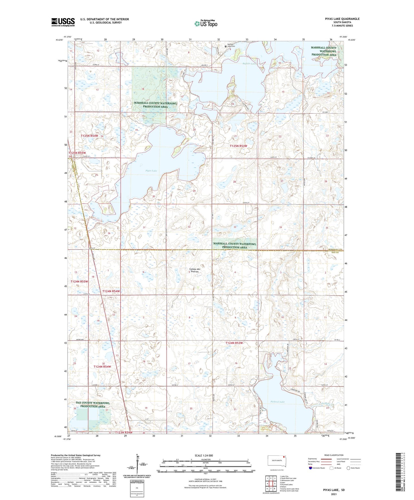
2021 topographic map quadrangle Piyas Lake in the state of South Dakota. Scale: 1:24000. Based on the newly updated USGS 7.5' US Topo map series, this map is in the following counties: Marshall, Day. The map contains contour data, water features, and other items you are used to seeing on USGS maps, but also has updated roads and other features. This is the next generation of topographic maps. Printed on high-quality waterproof paper with UV fade-resistant inks.
Quads adjacent to this one:
West: Eden
Northwest: Lake City
North: South Red Iron Lake
Northeast: Whitestone Lake
East: Drywood Lakes
Southeast: Enemy Swim Lake East
South: Enemy Swim Lake West
Southwest: Roslyn
Contains the following named places: Buffalo Lake Cemetery, Buffalo Lake Church, Buffalo Lakes, Chekepa Creek, Pickerel Lake, Pickerel Lake State Park, Piyas Lake, Township of Buffalo, Township of Kosciusko, ZIP Code: 57239