MyTopo
Platte Lake South Dakota US Topo Map
Couldn't load pickup availability
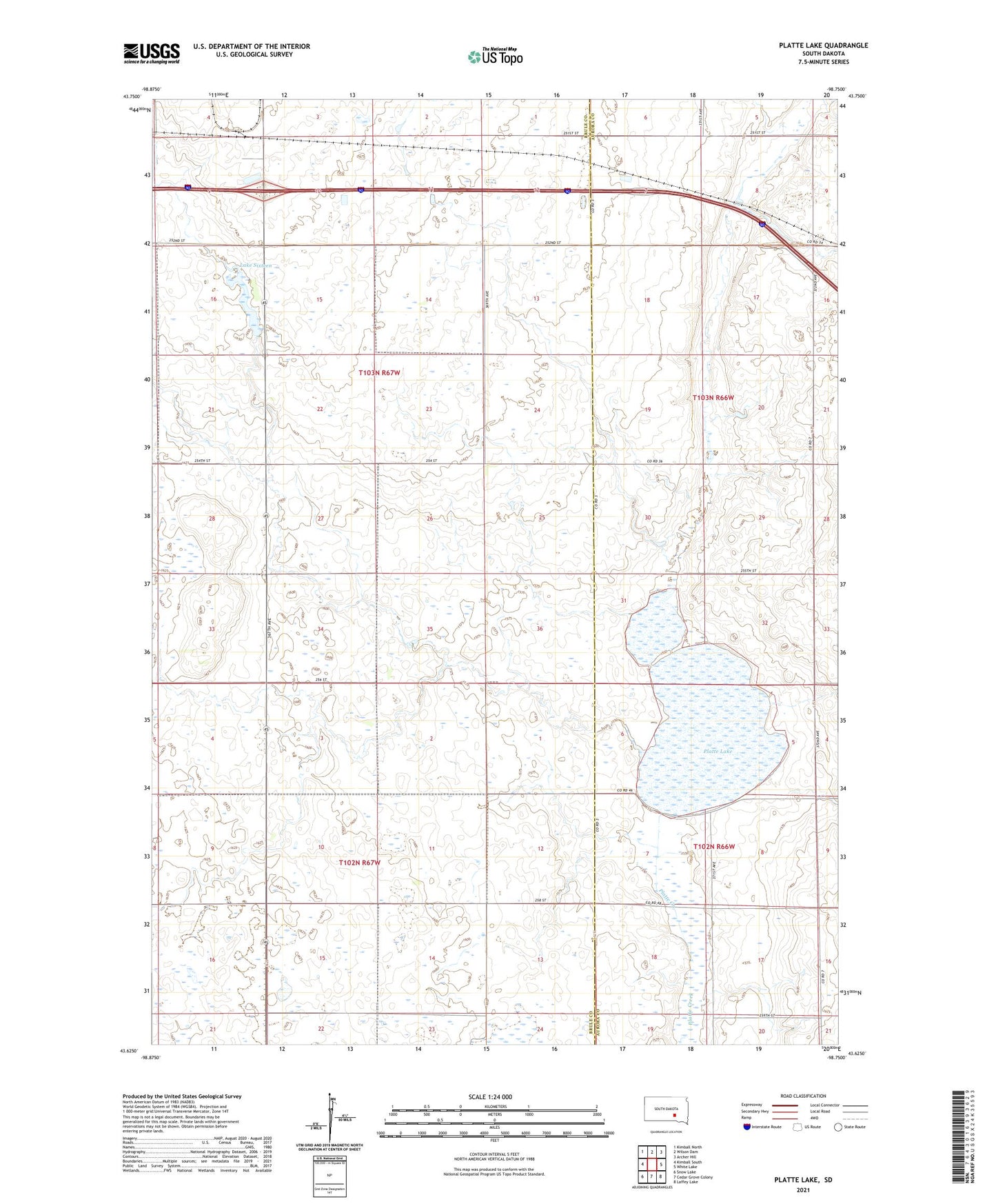
2021 topographic map quadrangle Platte Lake in the state of South Dakota. Scale: 1:24000. Based on the newly updated USGS 7.5' US Topo map series, this map is in the following counties: Brule, Aurora. The map contains contour data, water features, and other items you are used to seeing on USGS maps, but also has updated roads and other features. This is the next generation of topographic maps. Printed on high-quality waterproof paper with UV fade-resistant inks.
Quads adjacent to this one:
West: Kimball South
Northwest: Kimball North
North: Wilson Dam
Northeast: Archer Hill
East: White Lake
Southeast: Laffey Lake
South: Cedar Grove Colony
Southwest: Snow Lake
This map covers the same area as the classic USGS quad with code o43098f7.
Contains the following named places: Lake 16 Dam, Lake Sixteen, Lake Sixteen State Public Shooting Area, Plainfield, Platte Lake, Township of Plainfield, Township of Wilbur, Wilbur Center School