MyTopo
Ree Heights NE South Dakota US Topo Map
Couldn't load pickup availability
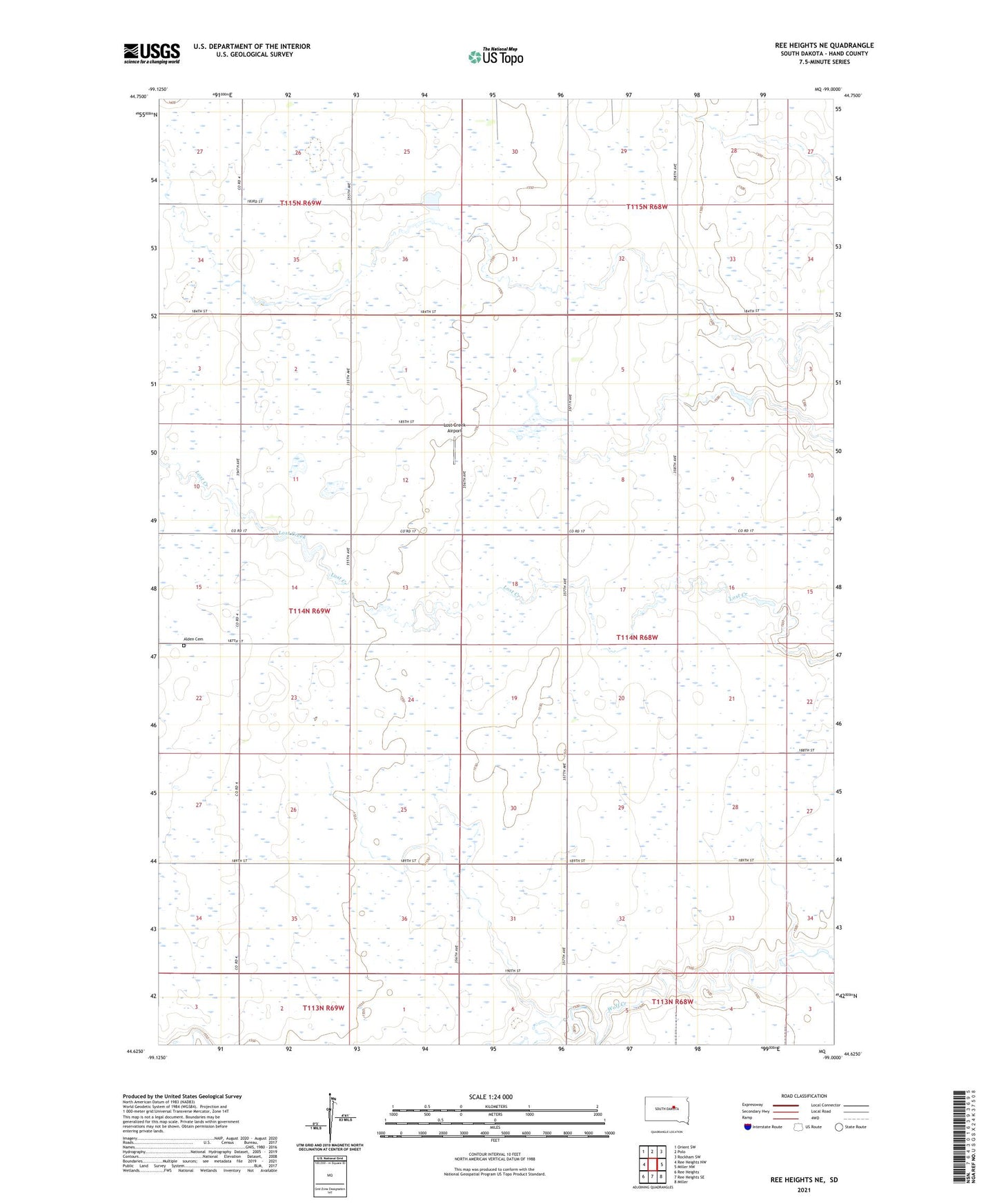
2021 topographic map quadrangle Ree Heights NE in the state of South Dakota. Scale: 1:24000. Based on the newly updated USGS 7.5' US Topo map series, this map is in the following counties: Hand. The map contains contour data, water features, and other items you are used to seeing on USGS maps, but also has updated roads and other features. This is the next generation of topographic maps. Printed on high-quality waterproof paper with UV fade-resistant inks.
Quads adjacent to this one:
West: Ree Heights NW
Northwest: Orient SW
North: Polo
Northeast: Rockham SW
East: Miller NW
Southeast: Miller
South: Ree Heights SE
Southwest: Ree Heights
This map covers the same area as the classic USGS quad with code o44099f1.
Contains the following named places: Alden Cemetery, Eaton School, Haas School, Lost Creek Airport, Prairie View School, Township of Florence, W Venjohn Dam