MyTopo
Reva NE South Dakota US Topo Map
Couldn't load pickup availability
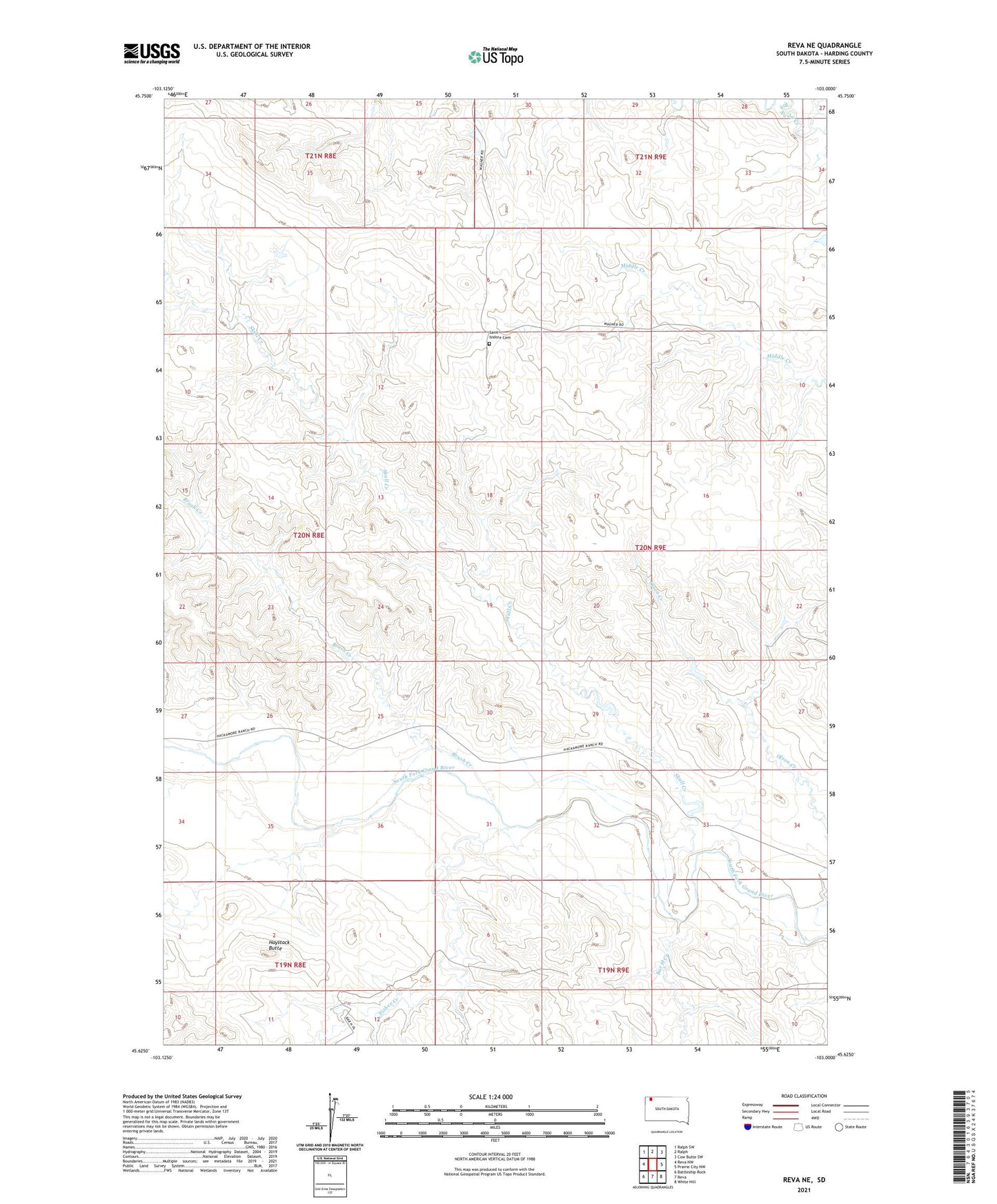
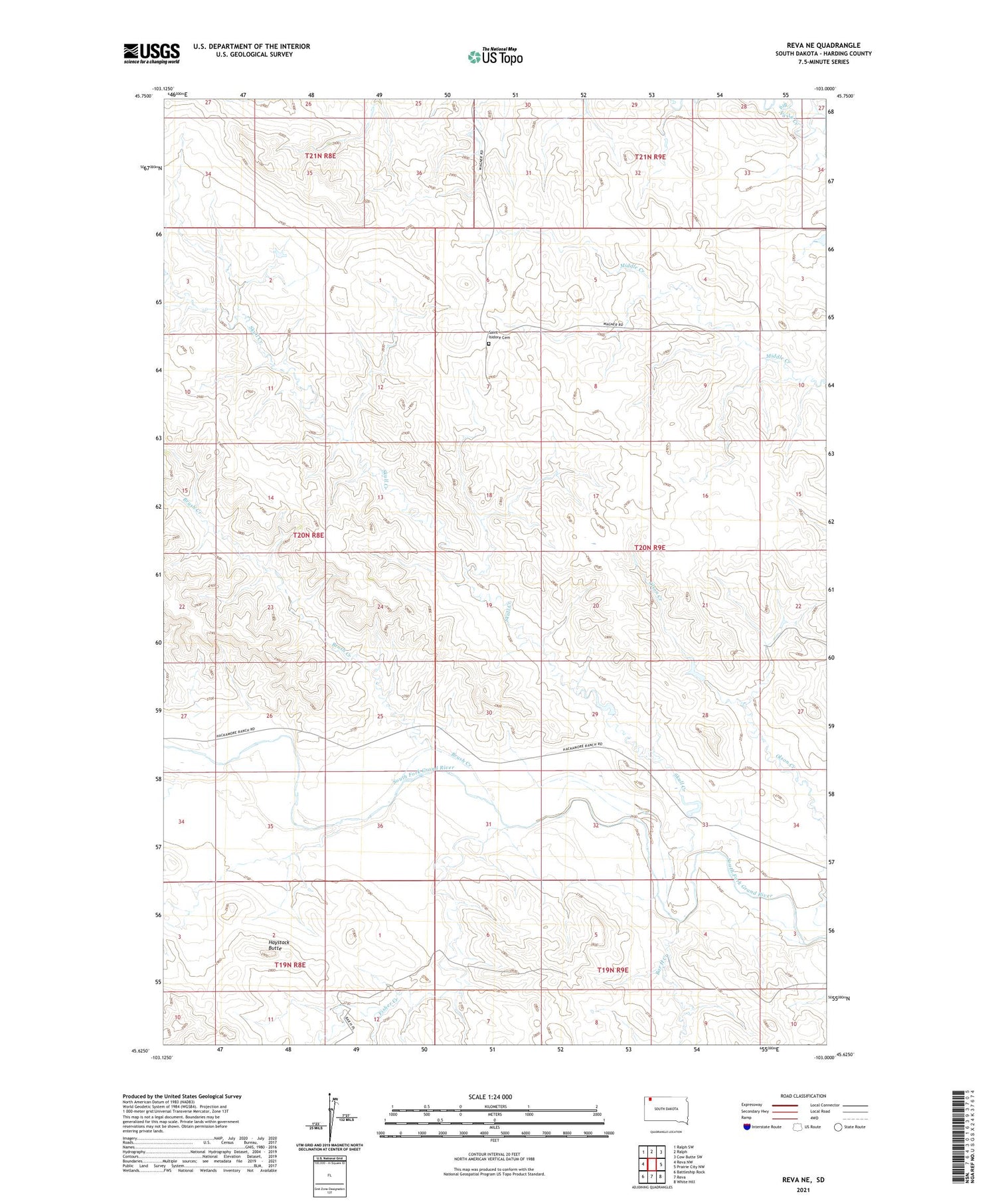
2021 topographic map quadrangle Reva NE in the state of South Dakota. Scale: 1:24000. Based on the newly updated USGS 7.5' US Topo map series, this map is in the following counties: Harding. The map contains contour data, water features, and other items you are used to seeing on USGS maps, but also has updated roads and other features. This is the next generation of topographic maps. Printed on high-quality waterproof paper with UV fade-resistant inks.
Quads adjacent to this one:
West: Reva NW
Northwest: Ralph SW
North: Ralph
Northeast: Cow Butte SW
East: Prairie City NW
Southeast: White Hill
South: Reva
Southwest: Battleship Rock
Contains the following named places: Bar H Creek, Brush Creek, Clark School, Fisher Creek, Haystack Butte, Road Dam, Saint Isidore Cemetery, Skull Creek, Skull Creek Dam, South Grand River Cemetery, Wagner Ranch