MyTopo
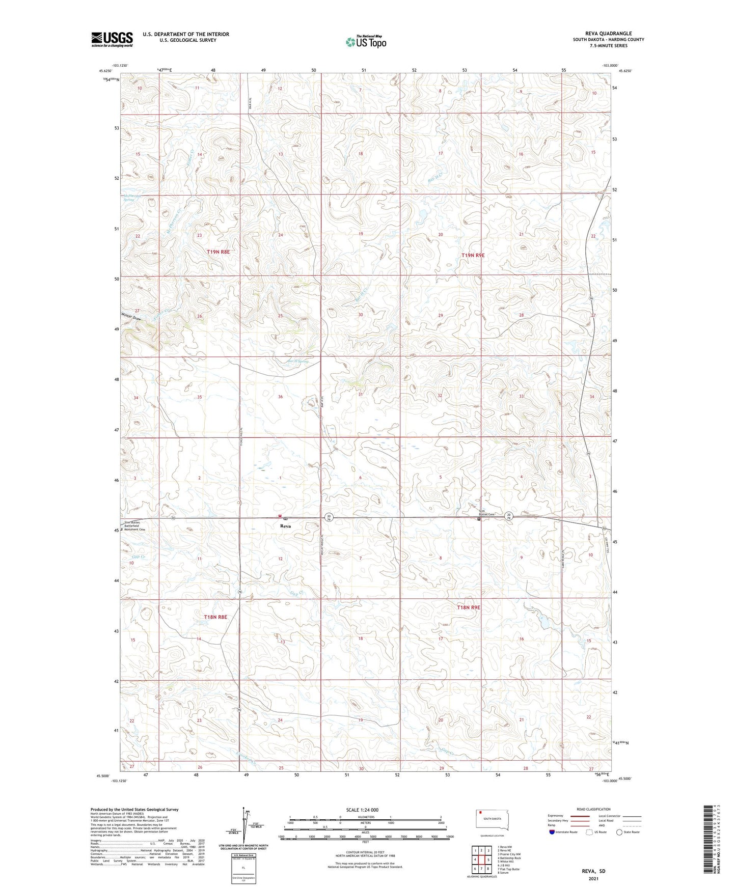
Reva South Dakota US Topo Map
Couldn't load pickup availability
Also explore the Reva Forest Service Topo of this same quad for updated USFS data
2021 topographic map quadrangle Reva in the state of South Dakota. Scale: 1:24000. Based on the newly updated USGS 7.5' US Topo map series, this map is in the following counties: Harding. The map contains contour data, water features, and other items you are used to seeing on USGS maps, but also has updated roads and other features. This is the next generation of topographic maps. Printed on high-quality waterproof paper with UV fade-resistant inks.
Quads adjacent to this one:
West: Battleship Rock
Northwest: Reva NW
North: Reva NE
Northeast: Prairie City NW
East: White Hill
Southeast: Sorum
South: Flat Top Butte
Southwest: J B Hill
This map covers the same area as the classic USGS quad with code o45103e1.
Contains the following named places: Bar H Spring, E Besler Ranch, G Lermeny Ranch, M Thybo Ranch, McPherson Creek, McPherson Spring, Our Lady of the Prairie Church, Reva, Reva School, Slim Butte Monument, Slim Buttes Battlefield Monument Cemetery, Slim Buttes Cemetery, Slim Buttes Church, Winter Draw