MyTopo
Saddle Butte South Dakota US Topo Map
Couldn't load pickup availability
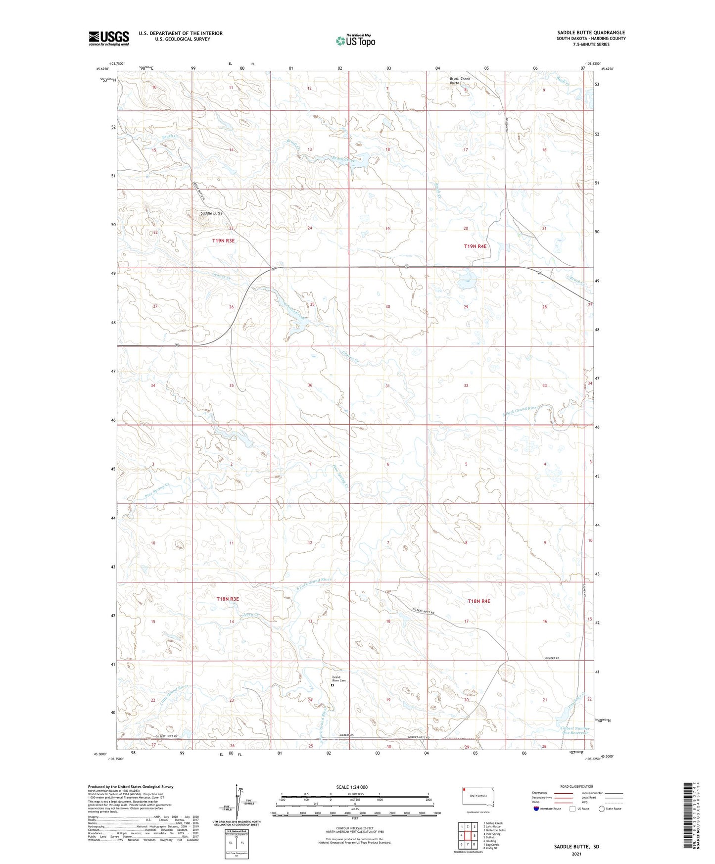
2021 topographic map quadrangle Saddle Butte in the state of South Dakota. Scale: 1:24000. Based on the newly updated USGS 7.5' US Topo map series, this map is in the following counties: Harding. The map contains contour data, water features, and other items you are used to seeing on USGS maps, but also has updated roads and other features. This is the next generation of topographic maps. Printed on high-quality waterproof paper with UV fade-resistant inks.
Quads adjacent to this one:
West: Pine Spring
Northwest: Gallup Creek
North: Lahti Butte
Northeast: McKenzie Butte
East: Buffalo
Southeast: Redig NE
South: Bog Creek
Southwest: Harding
This map covers the same area as the classic USGS quad with code o45103e6.
Contains the following named places: Brush Creek Butte, Clanton Number 1 Dam, Gilbert Number 1 Dam, Gilbert Number One Reservoir, Grand River Cemetery, Graves Creek, Jerry Creek, Little Grand River, Oja Number 1 Dam, Oja Number 2 Dam, Pine Spring Creek, S Price Ranch, Saddle Butte, Salmen Number 2 Dam, Wilson Number 1 Dam, Wilson Number 2 Dam, ZIP Code: 57720