
MyTopo
Sheep Pen Draw SE South Dakota US Topo Map
Couldn't load pickup availability
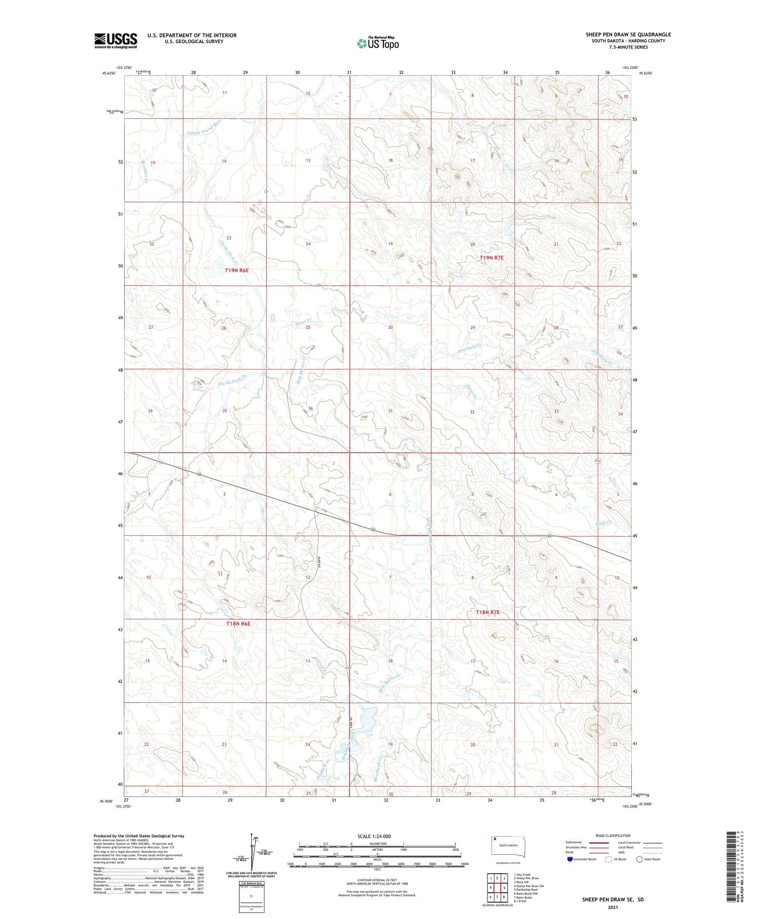
2021 topographic map quadrangle Sheep Pen Draw SE in the state of South Dakota. Scale: 1:24000. Based on the newly updated USGS 7.5' US Topo map series, this map is in the following counties: Harding. The map contains contour data, water features, and other items you are used to seeing on USGS maps, but also has updated roads and other features. This is the next generation of topographic maps. Printed on high-quality waterproof paper with UV fade-resistant inks.
Quads adjacent to this one:
West: Sheep Pen Draw SW
Northwest: Hay Creek
North: Sheep Pen Draw
Northeast: Reva NW
East: Battleship Rock
Southeast: J B Hill
South: Bams Butte
Southwest: Bams Butte NW
Contains the following named places: Atterbury Creek, Boxelder Creek, Clarks Fork Creek, Double X Creek, Meathook Creek, Park Pond Dam, Park Pond Reservoir, Sioux Creek, Slim Buttes Creek, State Experiment Farm and Antelope Reserve


