MyTopo
Sorum South Dakota US Topo Map
Couldn't load pickup availability
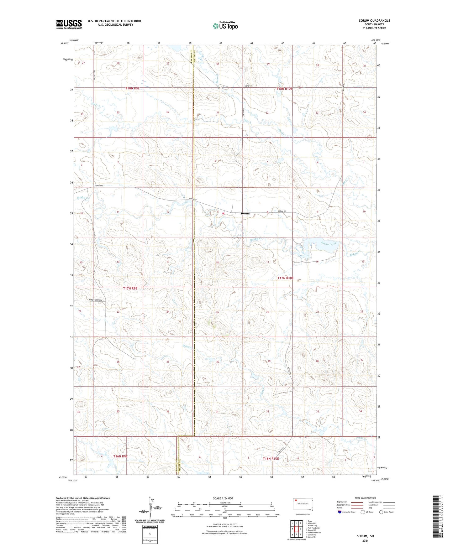
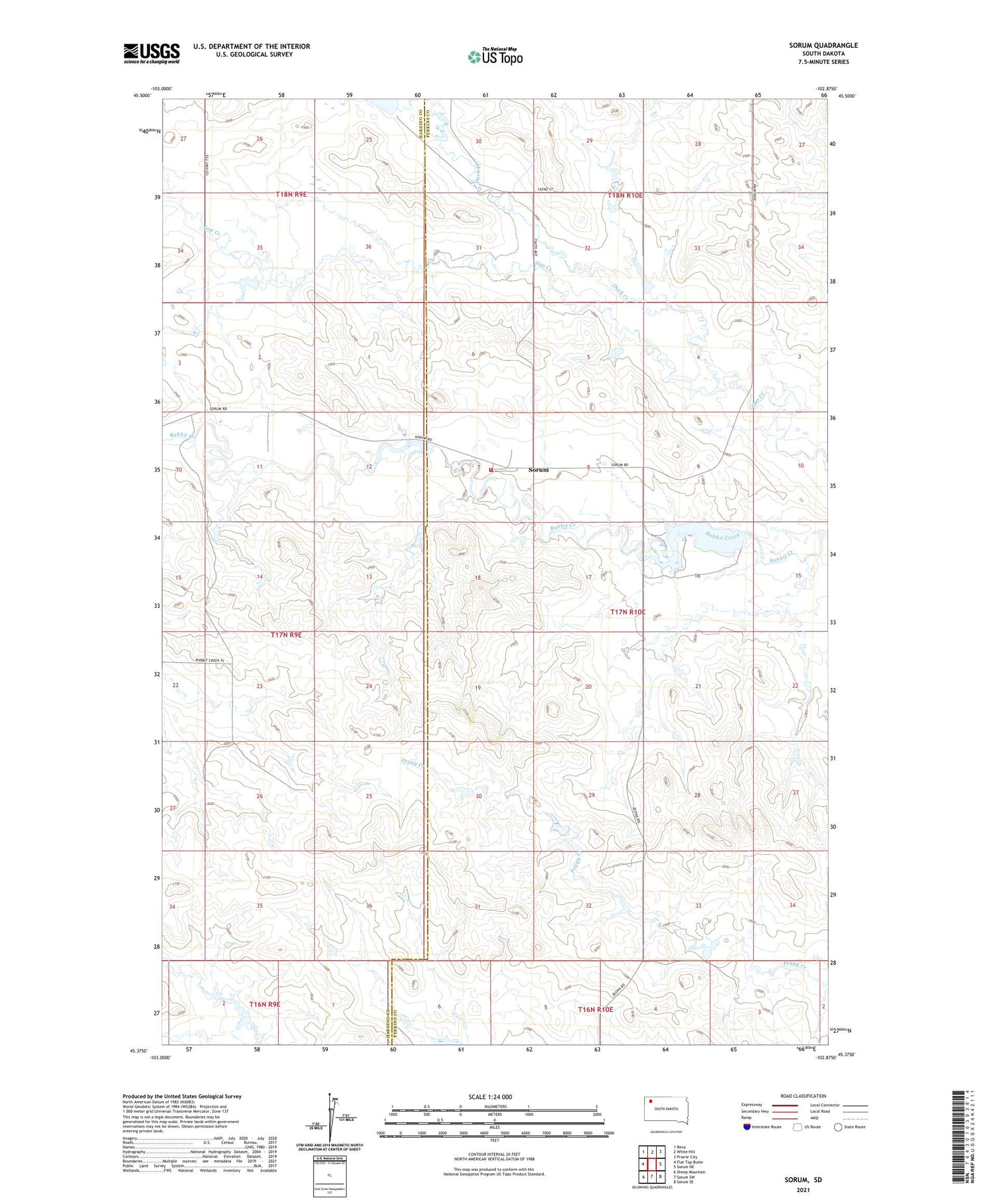
2021 topographic map quadrangle Sorum in the state of South Dakota. Scale: 1:24000. Based on the newly updated USGS 7.5' US Topo map series, this map is in the following counties: Perkins, Harding. The map contains contour data, water features, and other items you are used to seeing on USGS maps, but also has updated roads and other features. This is the next generation of topographic maps. Printed on high-quality waterproof paper with UV fade-resistant inks.
Quads adjacent to this one:
West: Flat Top Butte
Northwest: Reva
North: White Hill
Northeast: Prairie City
East: Sorum NE
Southeast: Sorum SE
South: Sorum SW
Southwest: Sheep Mountain
Contains the following named places: Crooked Creek, Duck Creek, Gilbert Ranches Pond Number 1 Dam, Hines Spring, Meyer Landing Strip, Sorum, Sorum Dam, Sorum Dam State Game Production Area, Sorum Fire Department, Sorum School, Township of Jones, Unorganized Territory of Jones, Unorganized Territory of West Perkins