MyTopo
South Shore South Dakota US Topo Map
Couldn't load pickup availability
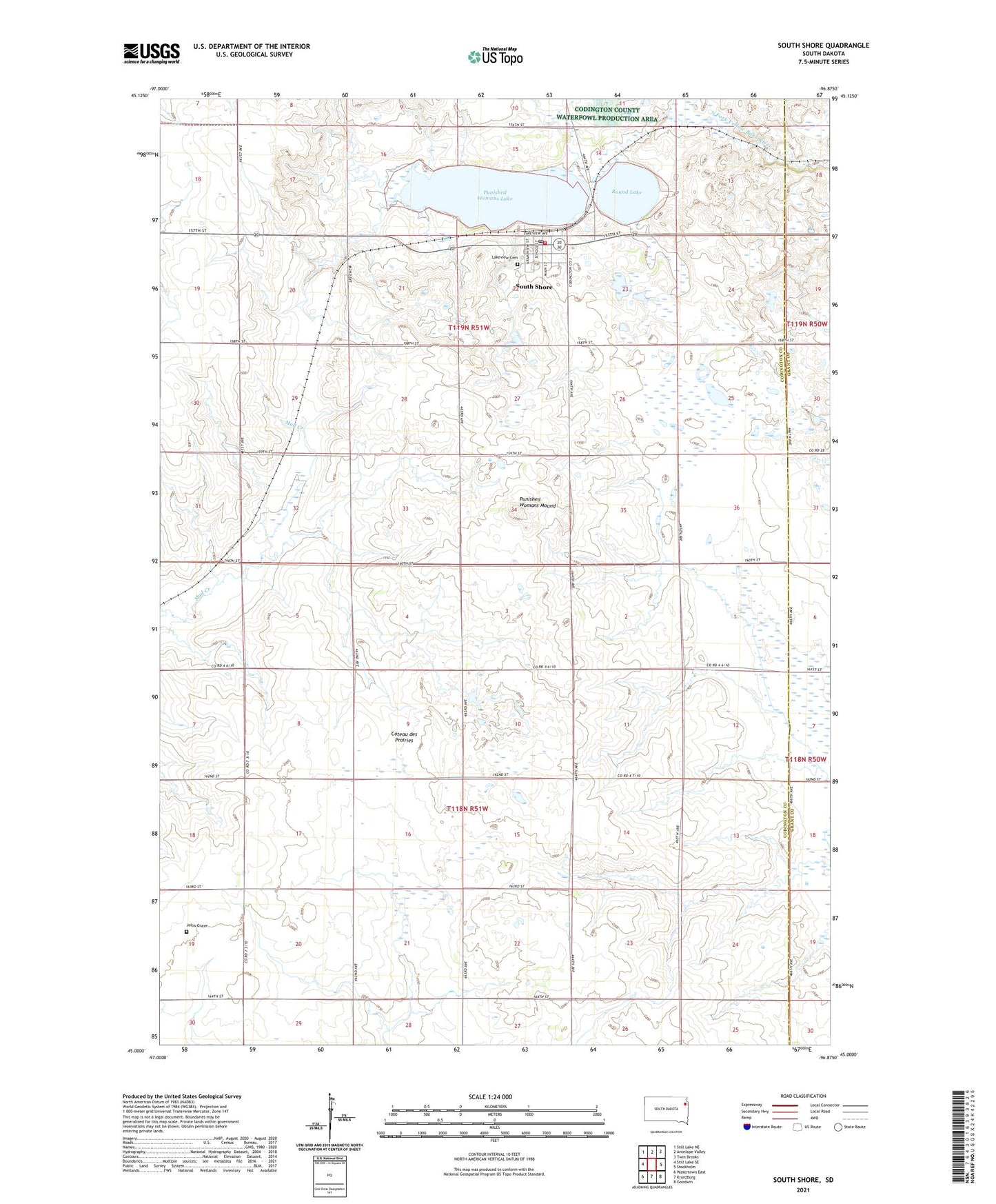
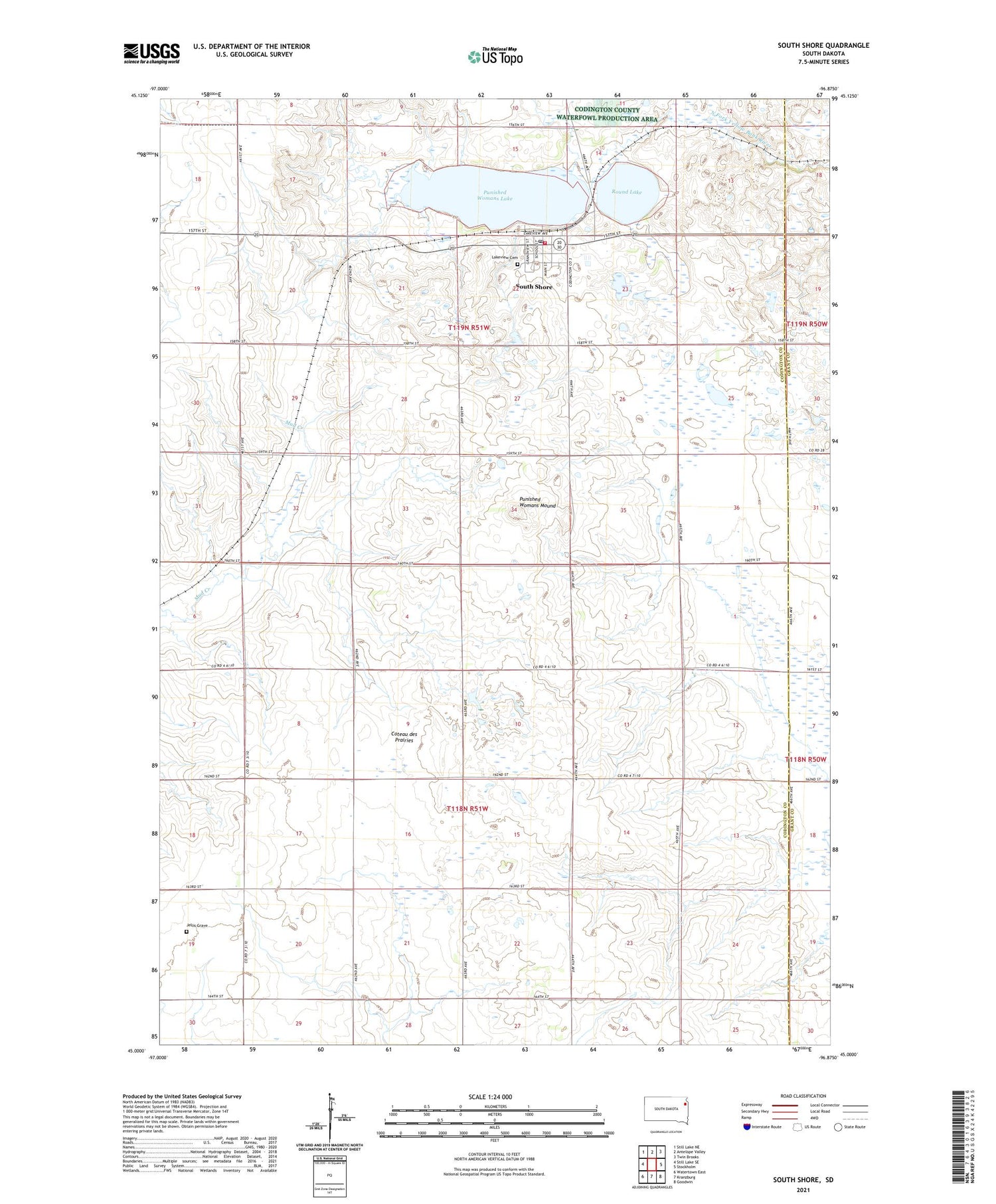
2021 topographic map quadrangle South Shore in the state of South Dakota. Scale: 1:24000. Based on the newly updated USGS 7.5' US Topo map series, this map is in the following counties: Codington, Grant. The map contains contour data, water features, and other items you are used to seeing on USGS maps, but also has updated roads and other features. This is the next generation of topographic maps. Printed on high-quality waterproof paper with UV fade-resistant inks.
Quads adjacent to this one:
West: Still Lake SE
Northwest: Still Lake NE
North: Antelope Valley
Northeast: Twin Brooks
East: Stockholm
Southeast: Goodwin
South: Kranzburg
Southwest: Watertown East
Contains the following named places: Hanson State Public Shooting Area, Jellis Grave, Lakeview Cemetery, Larson State Public Shooting Area, Our Savior's Lutheran Church of South Shore, Punished Womans Lake, Punished Womans Lake State Public Shooting Area, Punished Womans Mound, Round Lake, South Punished Womans State Public Shooting Area, South Shore, South Shore Ambulance Service, South Shore Fire Department, South Shore Post Office, Town of South Shore, Township of Leola, Township of Waverly