MyTopo
Tomato Can Buttes South Dakota US Topo Map
Couldn't load pickup availability
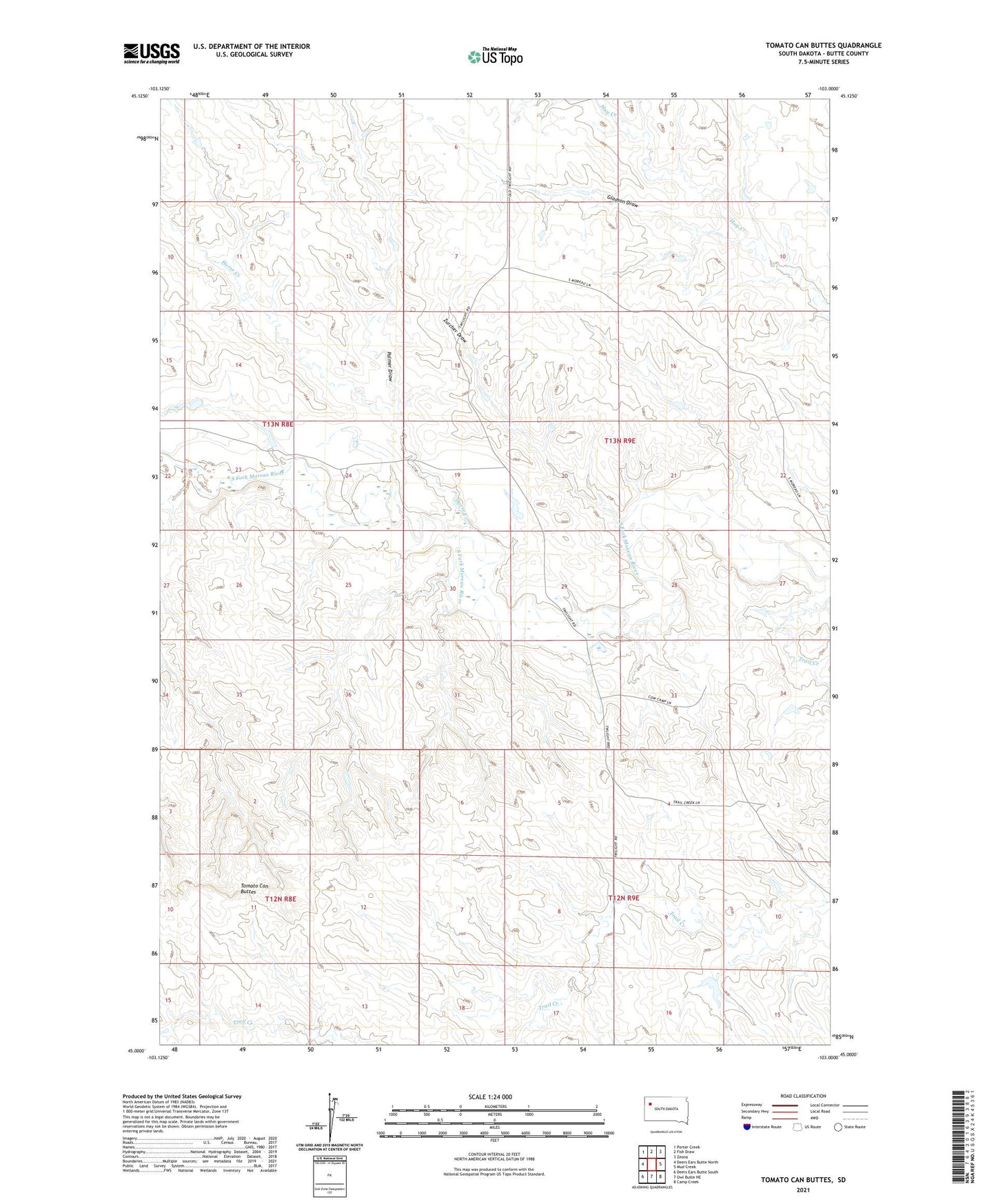
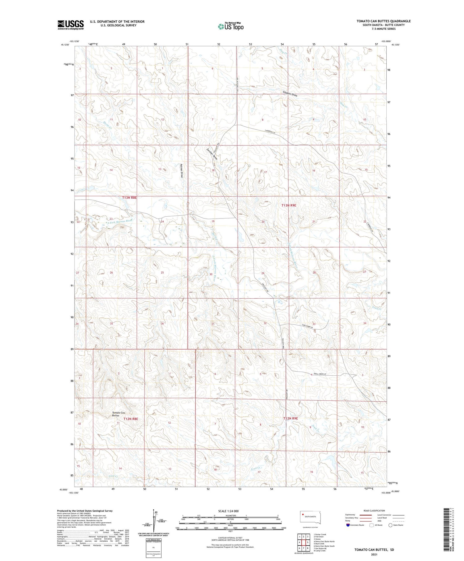
2021 topographic map quadrangle Tomato Can Buttes in the state of South Dakota. Scale: 1:24000. Based on the newly updated USGS 7.5' US Topo map series, this map is in the following counties: Butte. The map contains contour data, water features, and other items you are used to seeing on USGS maps, but also has updated roads and other features. This is the next generation of topographic maps. Printed on high-quality waterproof paper with UV fade-resistant inks.
Quads adjacent to this one:
West: Deers Ears Butte North
Northwest: Porter Creek
North: Fish Draw
Northeast: Zeona
East: Mud Creek
Southeast: Camp Creek
South: Owl Butte NE
Southwest: Deers Ears Butte South
Contains the following named places: Fish Draw School, Gladson Draw, Horse Creek, Kirk Landing Strip, Palmer Draw, Tomato Can Buttes, Zurcher Draw