MyTopo
Zeona South Dakota US Topo Map
Couldn't load pickup availability
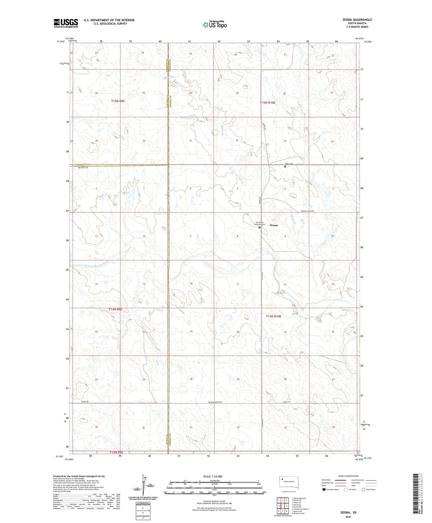
2021 topographic map quadrangle Zeona in the state of South Dakota. Scale: 1:24000. Based on the newly updated USGS 7.5' US Topo map series, this map is in the following counties: Perkins, Butte, Harding. The map contains contour data, water features, and other items you are used to seeing on USGS maps, but also has updated roads and other features. This is the next generation of topographic maps. Printed on high-quality waterproof paper with UV fade-resistant inks.
Quads adjacent to this one:
West: Fish Draw
Northwest: Sheep Mountain
North: Sorum SW
Northeast: Sorum SE
East: Zeona NE
Southeast: Beverly Creek
South: Mud Creek
Southwest: Tomato Can Buttes
This map covers the same area as the classic USGS quad with code k45102b7.
Contains the following named places: Ash Creek, Immanuel Church, Immanuel Lutheran Cemetery, Inland School, Leland Edwards Dam, Ruby Cemetery, Sheep Creek, Township of Sheffield, Unorganized Territory of Sheffield, Zeona