MyTopo
Van Metre South Dakota US Topo Map
Couldn't load pickup availability
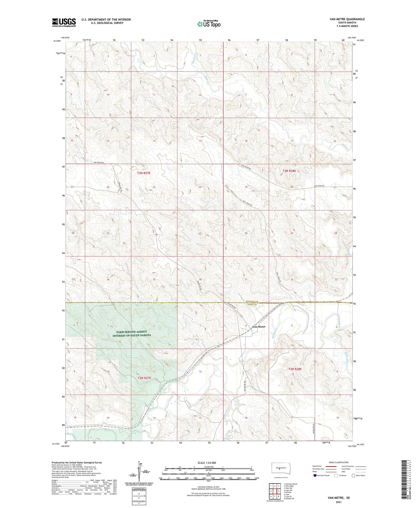
2021 topographic map quadrangle Van Metre in the state of South Dakota. Scale: 1:24000. Based on the newly updated USGS 7.5' US Topo map series, this map is in the following counties: Stanley, Jones. The map contains contour data, water features, and other items you are used to seeing on USGS maps, but also has updated roads and other features. This is the next generation of topographic maps. Printed on high-quality waterproof paper with UV fade-resistant inks.
Quads adjacent to this one:
West: Capa NW
Northwest: Hohrman Ranch
North: Doty Ridge
Northeast: Oahe SW
East: Wendte
Southeast: Wendte SW
South: Capa SE
Southwest: Capa
This map covers the same area as the classic USGS quad with code o44100b7.
Contains the following named places: Brush Creek, Dry Creek, Leslie Caldwell Dam, Louis Bonhorst Number 2 Dam, Louis Bonhorst Number 3 Dam, Louis Bonhorst Number 4 Dam, Olson Number 3 Dam, Township of Twin Butte, Van Metre, White Clay Creek