MyTopo
Capa SE South Dakota US Topo Map
Couldn't load pickup availability
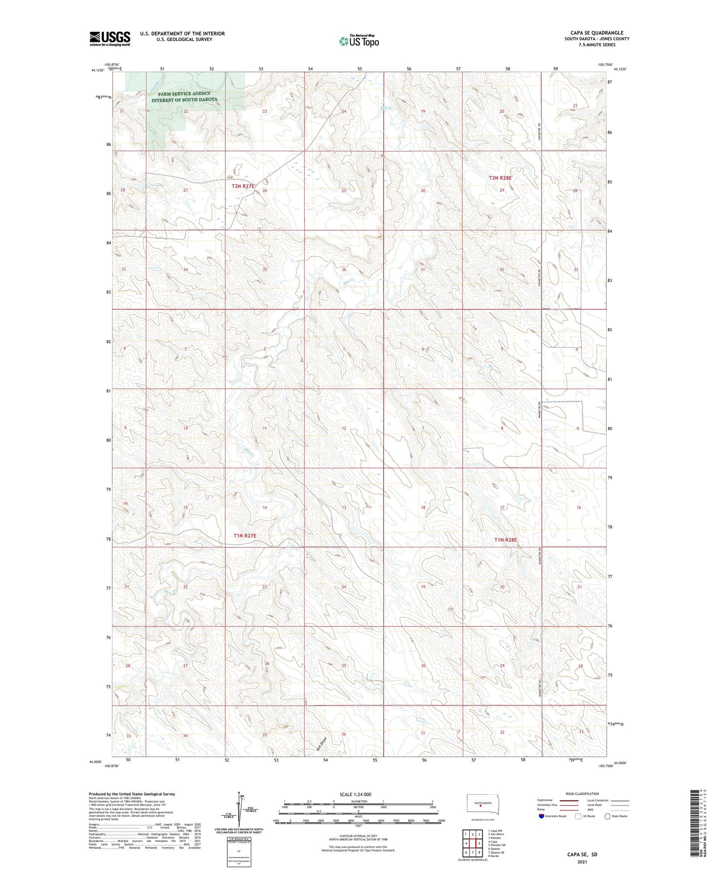
2021 topographic map quadrangle Capa SE in the state of South Dakota. Scale: 1:24000. Based on the newly updated USGS 7.5' US Topo map series, this map is in the following counties: Jones. The map contains contour data, water features, and other items you are used to seeing on USGS maps, but also has updated roads and other features. This is the next generation of topographic maps. Printed on high-quality waterproof paper with UV fade-resistant inks.
Quads adjacent to this one:
West: Capa
Northwest: Capa NW
North: Van Metre
Northeast: Wendte
East: Wendte SW
Southeast: Murdo
South: Okaton NE
Southwest: Okaton
This map covers the same area as the classic USGS quad with code o44100a7.
Contains the following named places: Ash Draw, Golden Number 1 Dam, Harrington School, Knox Number 1 Dam, Lyman Number 6 Dam, Township of Bovine, Township of Washington, Unorganized Territory of North Jones, Wilson Number 1 Dam