MyTopo
Wagner SW South Dakota US Topo Map
Couldn't load pickup availability
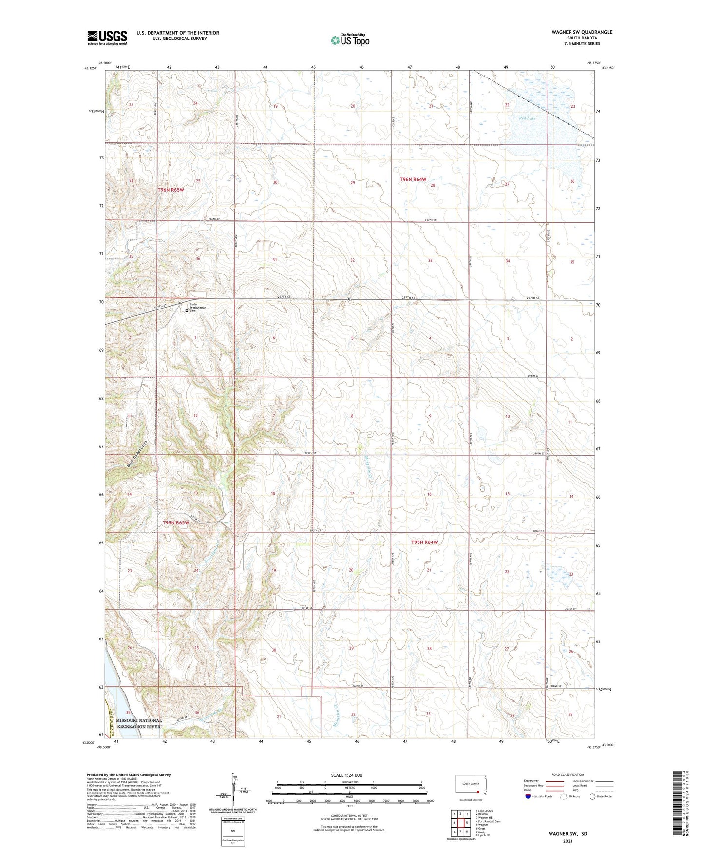
2021 topographic map quadrangle Wagner SW in the state of South Dakota. Scale: 1:24000. Based on the newly updated USGS 7.5' US Topo map series, this map is in the following counties: Charles Mix, Gregory. The map contains contour data, water features, and other items you are used to seeing on USGS maps, but also has updated roads and other features. This is the next generation of topographic maps. Printed on high-quality waterproof paper with UV fade-resistant inks.
Quads adjacent to this one:
West: Fort Randall Dam
Northwest: Lake Andes
North: Ravinia
Northeast: Wagner NE
East: Wagner
Southeast: Lynch NE
South: Marty
Southwest: Gross
Contains the following named places: Cedar Church, Cedar Presbyterian Cemetery, Pickstown Air Force Station, Red Lake, Saint Catherine Church, School Number 32, School Number 90, Township of Highland, Yankton Reservation