MyTopo
Winner North South Dakota US Topo Map
Couldn't load pickup availability
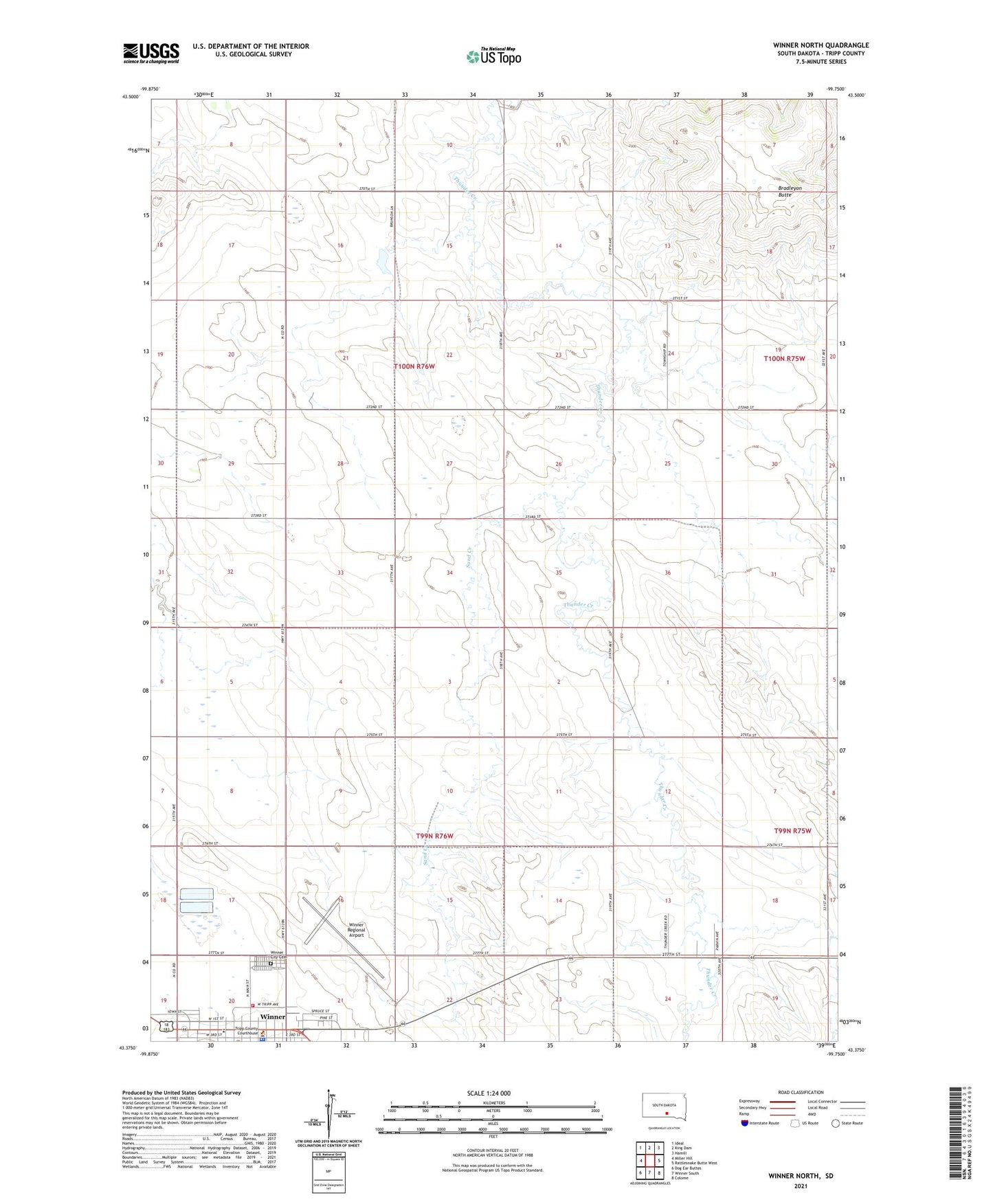
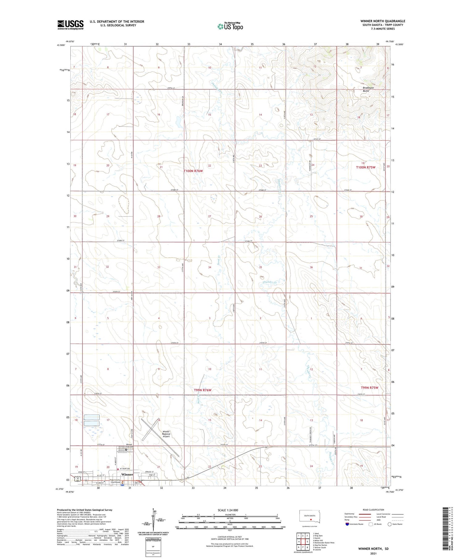
2021 topographic map quadrangle Winner North in the state of South Dakota. Scale: 1:24000. Based on the newly updated USGS 7.5' US Topo map series, this map is in the following counties: Tripp. The map contains contour data, water features, and other items you are used to seeing on USGS maps, but also has updated roads and other features. This is the next generation of topographic maps. Printed on high-quality waterproof paper with UV fade-resistant inks.
Quads adjacent to this one:
West: Miller Hill
Northwest: Ideal
North: King Dam
Northeast: Hamill
East: Rattlesnake Butte West
Southeast: Colome
South: Winner South
Southwest: Dog Ear Buttes
Contains the following named places: Bradleyon Butte, City of Winner, Sand Creek, Township of Brunson, Township of Lamro, Tripp County Ambulance Service, Tripp County Courthouse, Tripp County Sheriff, Winner, Winner City Cemetery, Winner Elementary School, Winner Fire Department, Winner Police Department, Winner Regional Airport