MyTopo
Calhoun Tennessee US Topo Map
Couldn't load pickup availability
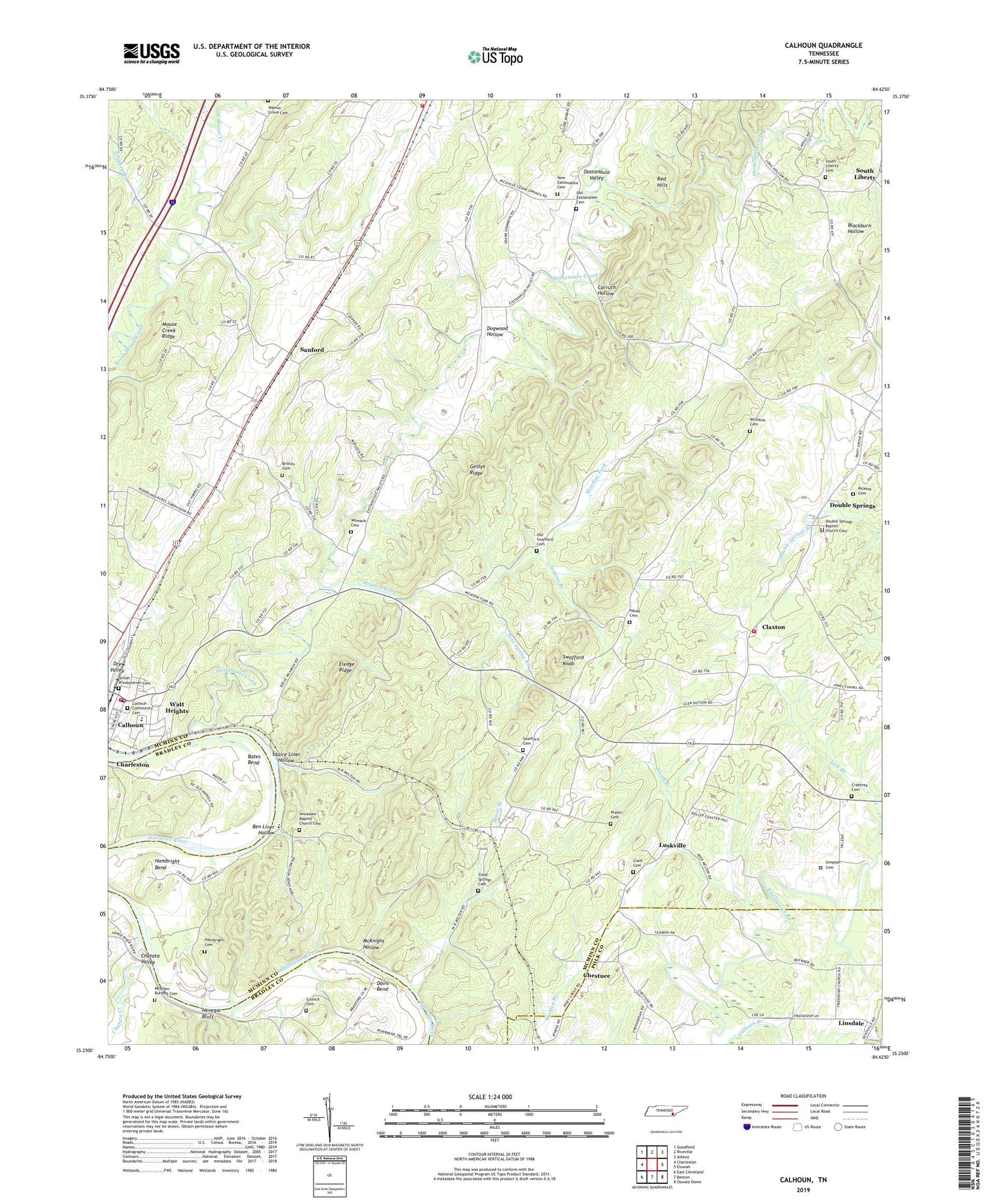
2019 topographic map quadrangle Calhoun in the state of Tennessee. Scale: 1:24000. Based on the newly updated USGS 7.5' US Topo map series, this map is in the following counties: McMinn, Polk, Bradley. The map contains contour data, water features, and other items you are used to seeing on USGS maps, but also has updated roads and other features. This is the next generation of topographic maps. Printed on high-quality waterproof paper with UV fade-resistant inks.
Quads adjacent to this one:
West: Charleston
Northwest: Goodfield
North: Riceville
Northeast: Athens
East: Etowah
Southeast: Oswald Dome
South: Benton
Southwest: East Cleveland
Contains the following named places: Acre Spring Branch, Bates Bend, Ben Liner Hollow, Britton Cemetery, Britton Church, Calhoun, Calhoun Baptist Church, Calhoun Community Cemetery, Calhoun Elementary School, Calhoun High School, Calhoun Post Office, Calhoun-Riceville Division, Carruth Hollow, Chatata Creek, Chatata Valley, Chestuee, Chestuee Church, Clark Cemetery, Claxton, Claxton School, Clear Springs Cemetery, Clear Springs Church, Commissioner District 5, Council Cemetery, Crabtree Cemetery, Davis Bend, Dogwood Hollow, Double Springs, Double Springs Baptist Church Cemetery, Double Springs Church, Eastanallee Church, Eledge Ridge, Friendship Church, Gettys Mill, Gettys Ridge, Gregory Branch, Hambright Bend, Hambright Cemetery, Hanks Cemetery, Henegar Bluff, Hiwassee Baptist Church Cemetery, Hiwassee Church, Horse Branch, Jenkins Branch, Lick Branch, Linsdale, Linsdale School, Luskville, McBrien-Burdett Cemetery, McKnight Hollow, McMinn County District 11 Claxton Volunteer Rural Fire Department, McMinn County District 5 Calhoun Rural Fire Department, McMinn County District 6 Riceville Volunteer Fire Department, Meadow Fork, Meadow Fork Church, Mouse Creek Ridge, New Eastanallee Cemetery, New Harmony Church, Old Eastanallee Cemetery, Old Swafford Cemetery, Oostanaula Creek, Oostanaula Valley, Pickens Cemetery, Prater Cemetery, River Bend Estates, Riverside Mill, Sanford, Sanford Church, Sanford School, Shiloh Presbyterian Cemetery, Simpson Cemetery, Smith Branch, South Liberty, South Liberty Cemetery, South Liberty Church, Squire Liner Hollow, Swafford Cemetery, Swafford Knob, Town of Calhoun, Waldrop Store, Walnut Grove Cemetery, Watt Heights, Whites Mill, Williams Cemetery, Womack Cemetery, ZIP Codes: 37309, 37310, 37370