MyTopo
Clinton Tennessee US Topo Map
Couldn't load pickup availability
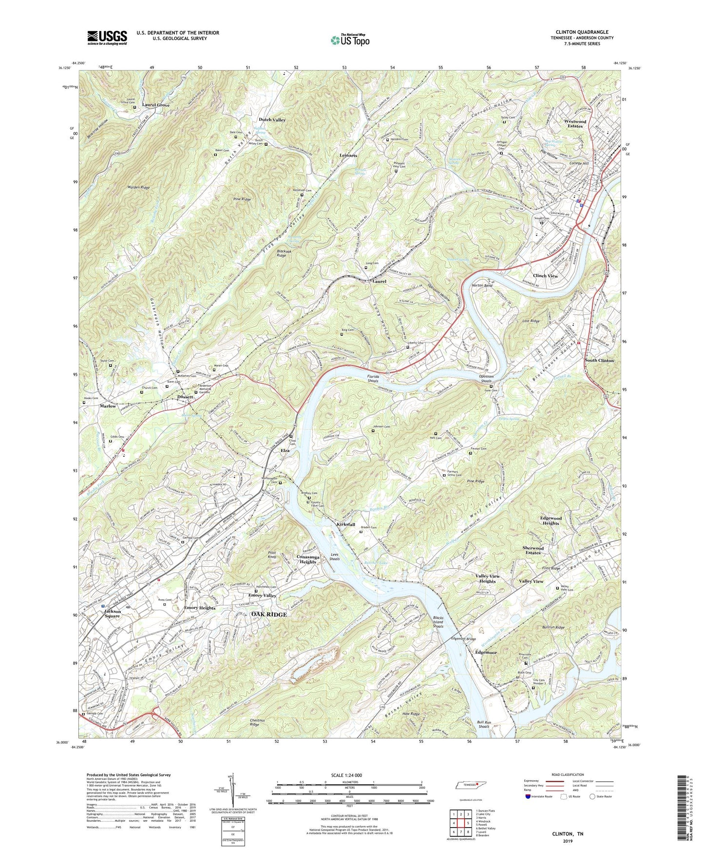
2019 topographic map quadrangle Clinton in the state of Tennessee. Scale: 1:24000. Based on the newly updated USGS 7.5' US Topo map series, this map is in the following counties: Anderson. The map contains contour data, water features, and other items you are used to seeing on USGS maps, but also has updated roads and other features. This is the next generation of topographic maps. Printed on high-quality waterproof paper with UV fade-resistant inks.
Quads adjacent to this one:
West: Windrock
Northwest: Duncan Flats
North: Lake City
Northeast: Norris
East: Powell
Southeast: Bearden
South: Lovell
Southwest: Bethel Valley
Contains the following named places: Anderson County, Anderson County Courthouse, Anderson County Farm, Anderson County Sheriff's Department, Anderson Memorial Gardens, Arms Cemetery, Bacon Spring, Baker Cemetery, Beartree Hollow, Black Cemetery, Black Island, Black Oak Baptist Church, Blacks Ferry, Blacks Ford, Blacks Island Shoals, Blockhouse Valley, Braden Branch, Braden Cemetery, Bradley Cemetery, Bud, Bull Run Boat Dock, Bull Run Park, Bull Run Shoals, Bull Run Steam Plant, Burress Spring, Butcher Dam, Butcher Lake, Carroll Hollow, Carroll Hollow Church, Cedar Hill School, Chestnut Ridge, Chestnut Ridge Park, Church Cemetery, City of Clinton, Clinch River, Clinch View, Clinton, Clinton Church of Christ, Clinton City Park, Clinton Division, Clinton Elementary School, Clinton Fire Department, Clinton Fire Department Station 2, Clinton First Baptist Church, Clinton High School, Clinton Junior High School, Clinton Marina, Clinton Police Department, College Hill, Commissioner District 2, Commissioner District 7, Commissioner District 8, Conasauga Heights, County Farm Cemetery, Coward Branch, Cox Cemetery Number 3, Cross Cemetery, Dale Cemetery, District 12, District 4, District 6, District 8, Dossett, Duncan and Coans Mine, Dutch Valley, Dutch Valley Church, Dutch Valley Elementary School, Dutch Valley United Methodist Church, Dutch Valley United Methodist Church Cemetery, Dyson Mine, East Siding, Edgemoor, Edgemoor Baptist Church, Edgemoor Bridge, Edgewood Heights, Elm Grove School, Elm Grove Shopping Center, Elza, Elza Church, Emory Heights, Emory Hills, Emory Valley, Emory Valley School, Fairbanks Shopping Center, Farmer Cemetery, Farmer Hollow, Farmers Grove Baptist Church, Farmers Grove Cemetery, First Christian Church, First Church of God, First United Presbyterian Church, Florida Shoals, Frog Pond Valley, Galbreath Hollow, Gamble Cemetery, Gibbs Cemetery, Gibbs Ferry Park, Glenwood Baptist Church, Glenwood Elementary School, Googe Mine, Grace Lutheran Church, Harness Creek, Haw Ridge Park, Hendren Cemetery, Hooks Cemetery, Horton Bend, Hutcheson Cemetery, Jackson Plaza Shopping Cneter, Jackson Square, Jackson Square Post Office, Jackson Square Shopping Center, Jarnigan Chapel, Jarnigan Chapel Cemetery, Jefferson Middle School, John F Byrne Center for Community Mental Helath Sciences, Johnson Cemetery, Jonas Phillips Mine, Jones Island, Kern Memorial United Methodist Church, King Cemetery, King Hollow, Kirkstall, Lakeview Baptist Church, Lane Cemetery, Laurel, Laurel Grove, Laurel Grove Baptist Church, Laurel Grove Cemetery, Laurel Grove Lookout Tower, Laurel Grove School, Laurel Heights School, Lee Ford, Lees Ferry, Lees Shoals, Leinarts, Liberty Cemetery, Liberty Church, Lick Hollow, Long Cemetery, Long Hollow, Long Mine, Lost Bottom Park, Lost Ridge, Lupton Cross Roads, Marlow, Marlow Elementary School, Marlow Volunteer Fire Department, McKamey Cemetery, Melton Hill Golf and Country Club, Memorial United Methodist Church, Metcalf Dock, Methodist Medical Center of Oak Ridge, Midway Church, Moran Baptist Church, Moran Cemetery, New Salem Baptist Church, North Clinton Elementary School, Oak Ridge Associated University Hospital, Oak Ridge Fire Department Station 2, Oak Ridge First Baptist Church, Oak Ridge Health Care Center, Oak Ridge Municipal Marina, Oak Ridge Municipal Park, Opossum Creek, Opossum Hollow, Opossum Shoals, Patterson Cemetery, Pilot Knob, Pine Ridge, Pleasant View Baptist Church, Pleasant View Cemetery, Pop Hollow, Pop Hollow Spring, Poplar Creek, Poplar Creek Baptist Church, Raccoon Branch, Raccoon Valley, Ridge Way Shopping Center, Ridgeview Psychiatric Hospital, Riverview Baptist Church, Riverview Cemetery, Saint Marks United Methodist Church, Seeber Creek, Sherwood Estates, Shetterly Spring, Shinliver Elementary School, Shinliver Spring, Slave Cemetery, South Clinton, South Clinton Baptist Church, South Clinton Elementary School, Spessard Mill, Sulphur Spring, Sunset Cemetery, Talley Cemetery, Taylor Cemetery, Turpin Spring, Union Valley, Valley View, Valley View Church, Valley View Heights, Valley View Methodist Cemetery, Verlin Phillips Mine, Walker Island, WATO-AM (Oak Ridge), Weaver Spring, Westwood Estates, WNKX-FM (Clinton), Wolf Creek, Wolf Valley, Woodland Elementary School, Woodland Shopping Center, Woods Chapel, Worthington Branch, Worthington Cemetery, WYSH-AM (Clinton), Yarnell Branch, York Cemetery, ZIP Code: 37716