MyTopo
Hilham Tennessee US Topo Map
Couldn't load pickup availability
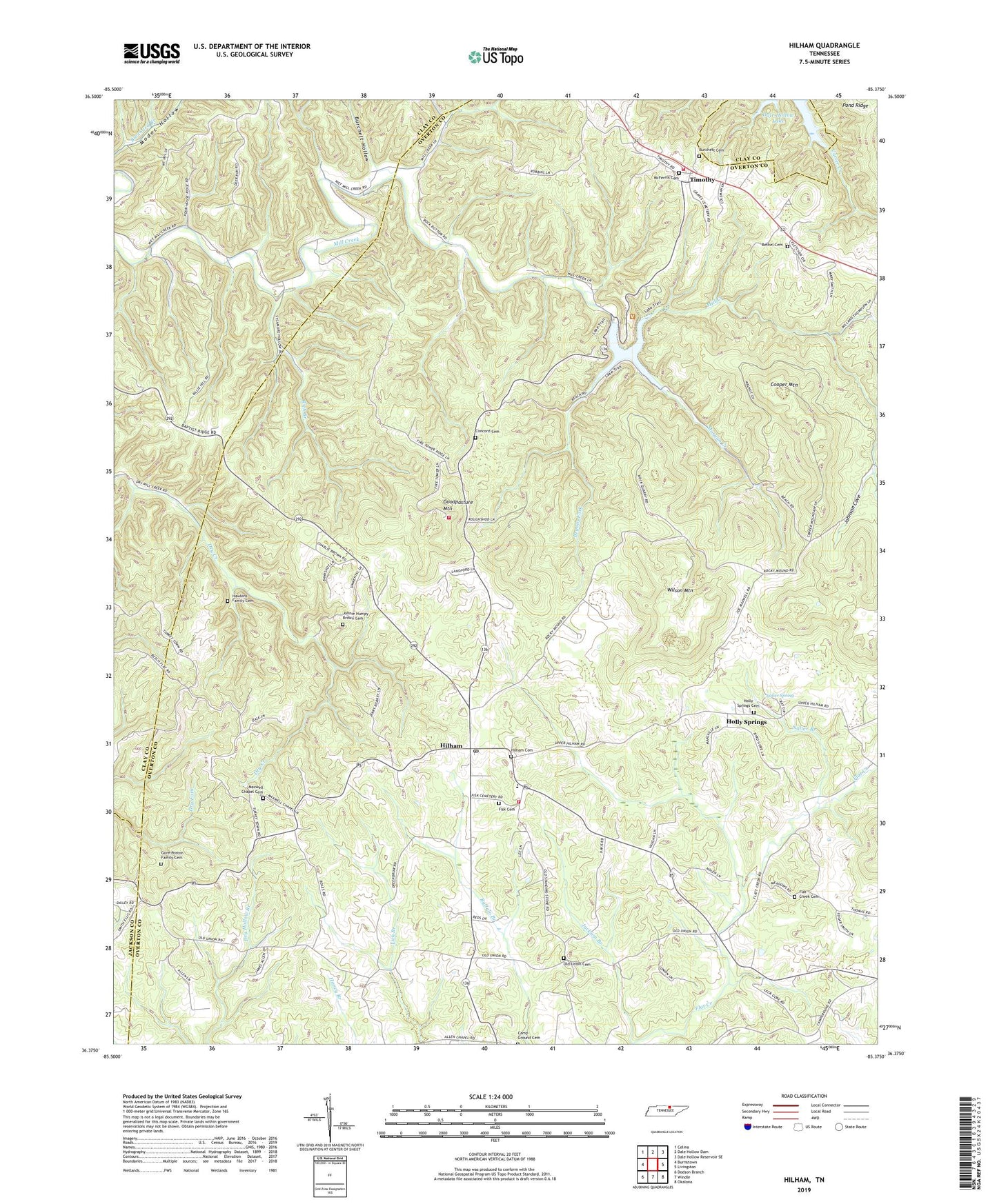
2019 topographic map quadrangle Hilham in the state of Tennessee. Scale: 1:24000. Based on the newly updated USGS 7.5' US Topo map series, this map is in the following counties: Overton, Clay, Jackson. The map contains contour data, water features, and other items you are used to seeing on USGS maps, but also has updated roads and other features. This is the next generation of topographic maps. Printed on high-quality waterproof paper with UV fade-resistant inks.
Quads adjacent to this one:
West: Burristown
Northwest: Celina
North: Dale Hollow Dam
Northeast: Dale Hollow Reservoir SE
East: Livingston
Southeast: Okalona
South: Windle
Southwest: Dodson Branch
Contains the following named places: Beech Springs School, Bethel Cemetery, Bethel Church, Bryans Fork, Burchett Cemetery, Burchett Hollow, Camp Ground Cemetery, Camp Ground Church, Concord Cemetery, Cooper Mountain, Dry Creek, Fairview School, Fish Academy, Fisk Cemetery, Flat Creek, Flat Creek Cemetery, Flat Creek Church, Goodpasture Mountain, Gore-Poston Family Cemetery, Grey, Hawkins Family Cemetery, Hilham, Hilham Cemetery, Hilham Census Designated Place, Hilham Church of Christ, Hilham Division, Hilham Elementary School, Hilham Post Office, Hilham United Methodist Church, Hilham Volunteer Fire Department, Hix, Holly Springs, Holly Springs Cemetery, Holly Springs School, Jackson Branch, Johnie Humpy Brown Cemetery, Johnson Cove, Mawell Chapel, Maxwell Chapel Cemetery, McFerrin Cemetery, McFerrin Church, Mill Creek Chapel, Mill Creek School, Morgan Creek, Nalier Branch, Nalier Spring, New Liberty School, Oak Grove School, Old Flat Creek Church, Old Union Cemetery, Old Union Church, Rich Branch, Standing Stone Rustic Park Historic District, Standing Stone State Forest, Standing Stone State Rustic Park, Standingstone Lake, Tennessee Department of Agriculture Division of Forestry Standing Stone, Timothy, Timothy Volunteer Fire Department, Wilson Mountain, ZIP Code: 38568