MyTopo
Howard Quarter Tennessee US Topo Map
Couldn't load pickup availability
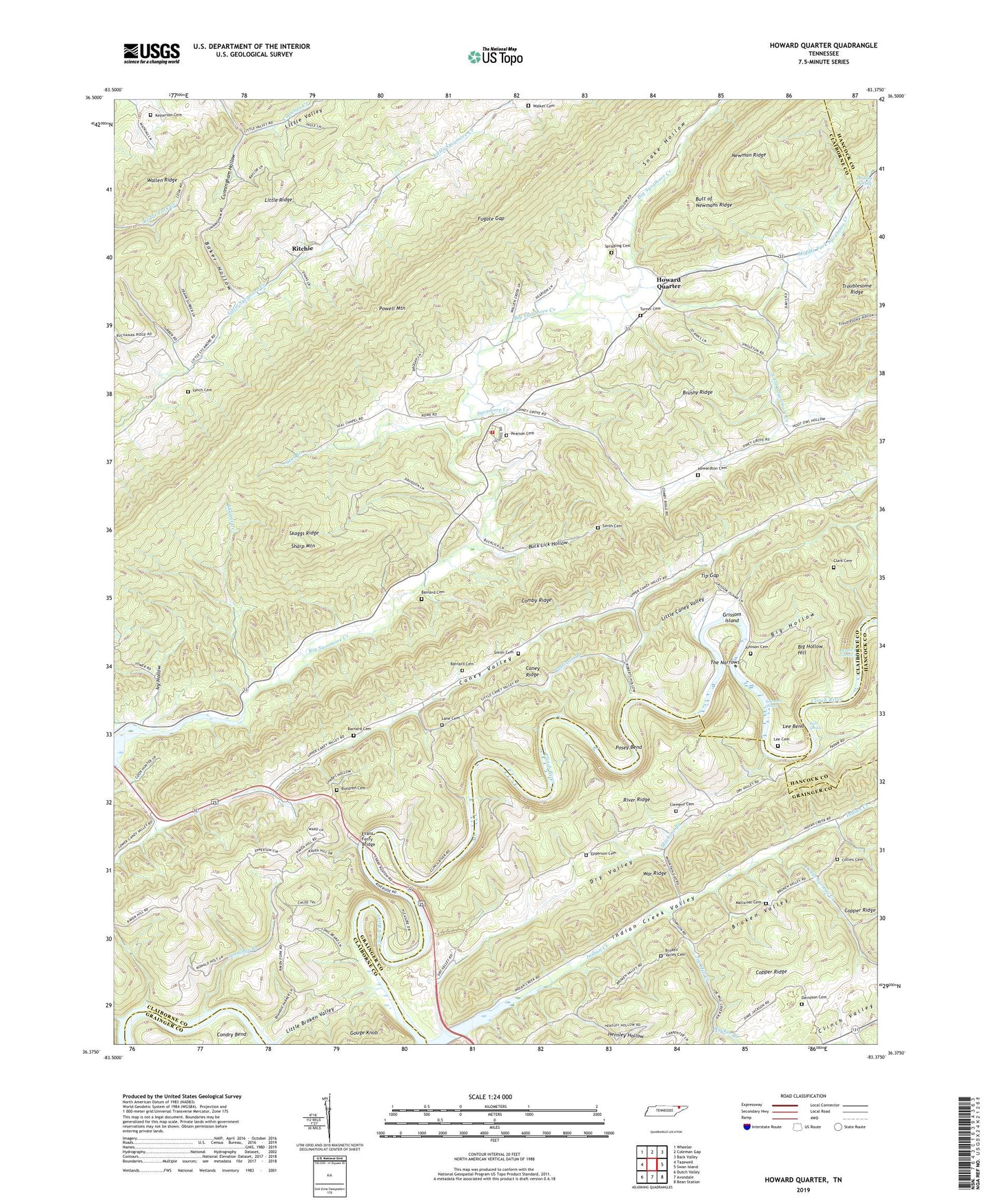
2019 topographic map quadrangle Howard Quarter in the state of Tennessee. Scale: 1:24000. Based on the newly updated USGS 7.5' US Topo map series, this map is in the following counties: Claiborne, Grainger, Hancock. The map contains contour data, water features, and other items you are used to seeing on USGS maps, but also has updated roads and other features. This is the next generation of topographic maps. Printed on high-quality waterproof paper with UV fade-resistant inks.
Quads adjacent to this one:
West: Tazewell
Northwest: Wheeler
North: Coleman Gap
Northeast: Back Valley
East: Swan Island
Southeast: Bean Station
South: Avondale
Southwest: Dutch Valley
Contains the following named places: Baker Hollow, Barnard Cemetery, Baylor Consolidated School, Big Hollow, Big Hollow Hill, Big Sycamore Creek, Broken Valley Cemetery, Brushy Ridge, Buck Lick Hollow, Bulls Shoals, Bundren Cemetery, Butt of Newmans Ridge, Cades Ferry, Caney Ridge, Caney Valley, Caney Valley School, Cedar Flat Church, Cedar Springs Creek, Civilian Conservation Camp Number 27, Clark Cemetery, Clement Cemetery, Collins Cemetery, Comby Ridge, Commissioner District 4, Cunningham Hollow, Davidson Cemetery, Dodson Spring, Dry Valley, Dry Valley Church, Epperson Cemetery, Evans Ferry, Evans Ferry Bridge, Forked Deer Creek, Fugate Gap, Grissom Island, Grissom Island Church, Hensley Hollow, Howard Quarter, Howard Quarter Church, Howard Quarter School, Howardton Cemetery, Howardton Church, Indian Creek, Indian Creek School, Indian Creek Valley, Ivy Hollow, Jennings Branch, Joe Mill Creek, Johnson Cemetery, Johnson School, Johnsons Shoals, Kelly Branch, Kesterson Cemetery, Lane Cemetery, Lee Bend, Lee Cemetery, Liberty Church, Little Caney Valley, Little Ridge, Little Valley, Lone Hill Church, Lynch Cemetery, Machine Branch, Macks Shoals, Mallicoat Cemetery, McCullough School, Middle Fork Sycamore Creek, New Bethel Baptist Church, Patterson Branch, Pearson Cemetery, Posey Bend, Raven Hill, Raven Hill Church, Ritchie, Ritchie School, River Ridge, Rucker Branch, Seal Branch, Seal Chapel Missionary Baptist Church, Seal Chapel School, Sharp Mountain, Skaggs Creek, Skaggs Ridge, Smith Cemetery, Snake Hollow, South Fork Sycamore Creek, Spradling Cemetery, Springdale Volunteer Fire Department Station 3, Sycamore Creek, The Narrows, Thorn Hill Division, Tip Gap, Turner Cemetery, Walker Cemetery, Yellow Springs School