MyTopo
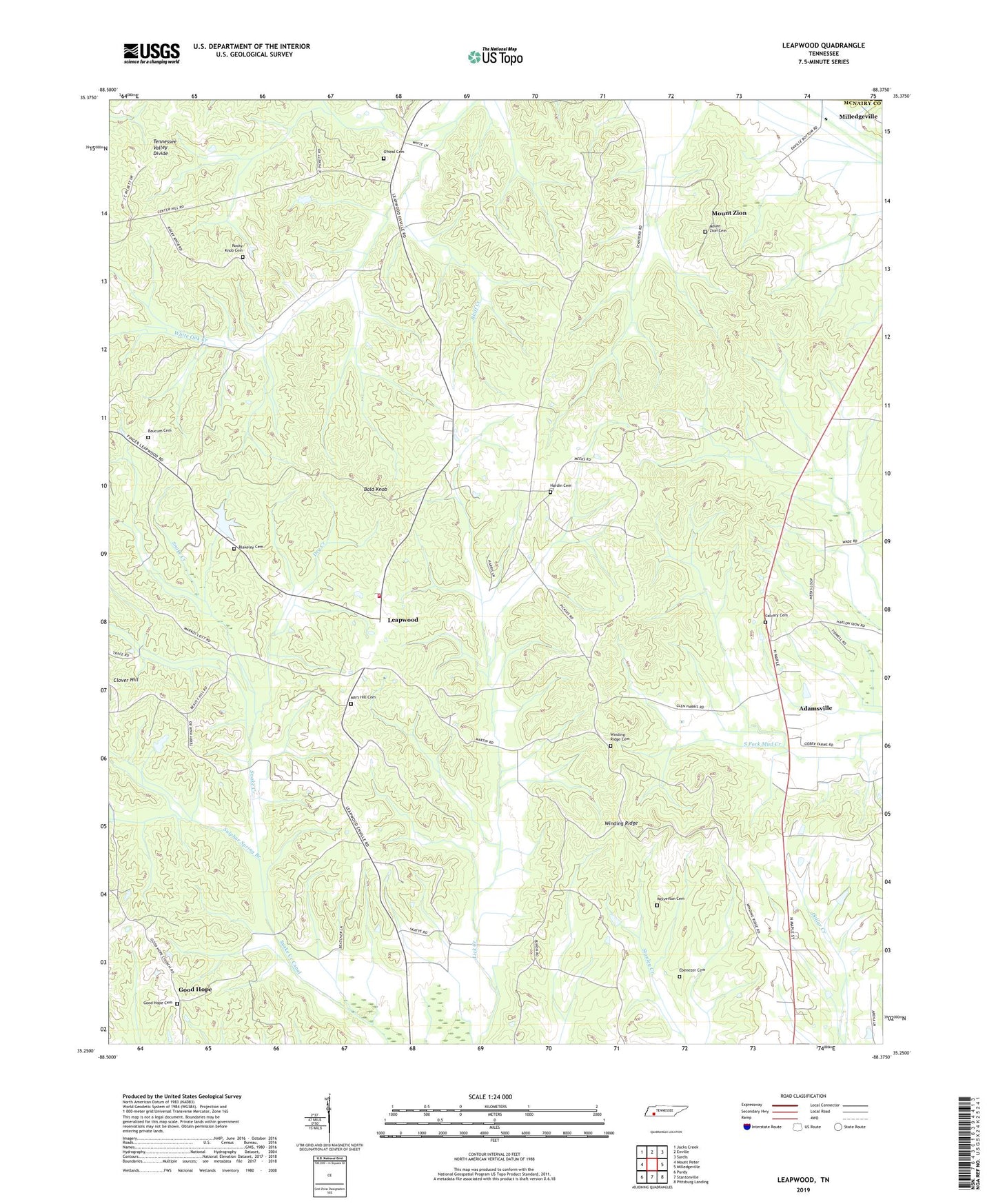
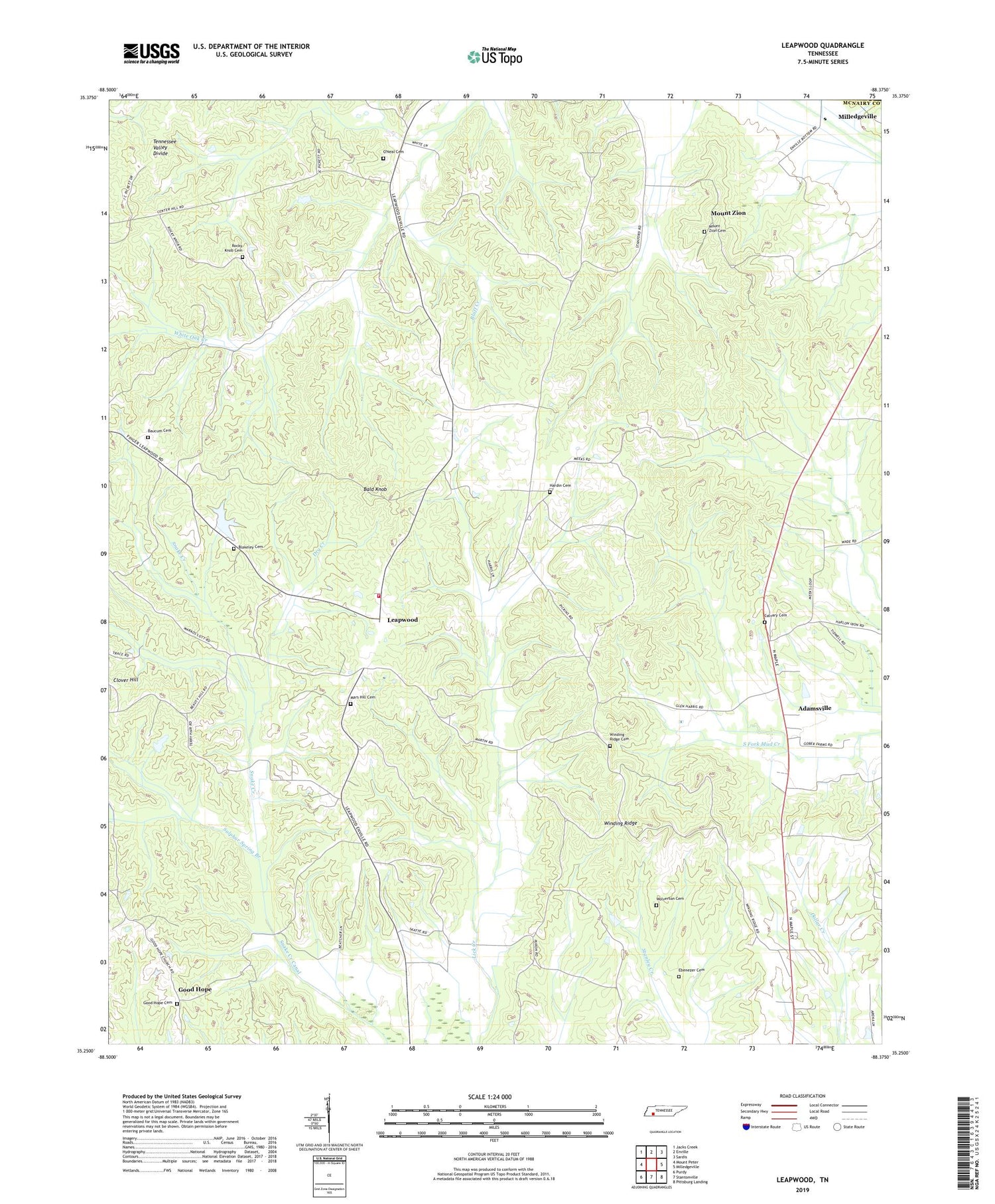
Leapwood Tennessee US Topo Map
Couldn't load pickup availability
2019 topographic map quadrangle Leapwood in the state of Tennessee. Scale: 1:24000. Based on the newly updated USGS 7.5' US Topo map series, this map is in the following counties: McNairy, Chester. The map contains contour data, water features, and other items you are used to seeing on USGS maps, but also has updated roads and other features. This is the next generation of topographic maps. Printed on high-quality waterproof paper with UV fade-resistant inks.
Quads adjacent to this one:
West: Mount Peter
Northwest: Jacks Creek
North: Enville
Northeast: Sardis
East: Milledgeville
Southeast: Pittsburg Landing
South: Stantonville
Southwest: Purdy
Contains the following named places: Bald Knob, Baucum Cemetery, Blakeley Cemetery, Bluff Creek, Calvary Cemetery, Calvary Church, Center Hill School, Clover Hill, Commissioner District 2, Commissioner District 3, Copeland, Dry Creek, Ebenezer Cemetery, Good Hope, Good Hope Baptist Church, Good Hope Cemetery, Hardin Beauty Church, Hardin Beauty School, Hardin Cemetery, Hardin School, Hurricane School, Leapwood, Leapwood School, Lott Store, Mars Hill Cemetery, Mars Hill Church, McNairy County Fire Department Station 12 Leapwood Fire Department, Melton Creek, Morton School, Mount Zion, Mount Zion Cemetery, Mud Creek, Mud Creek Valley School, O'Neal Cemetery, Pleasant Ridge Church, Rocky Knob Cemetery, Rocky Knob Church, Rocky Knob School, Spring Branch, Sulphur Spring Branch, Winding Ridge, Winding Ridge Cemetery, Wolverton Cemetery, York Branch, ZIP Code: 38310