MyTopo
Mount Joy Tennessee US Topo Map
Couldn't load pickup availability
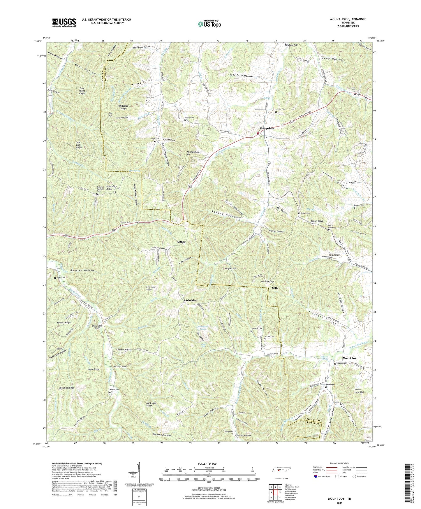
2019 topographic map quadrangle Mount Joy in the state of Tennessee. Scale: 1:24000. Based on the newly updated USGS 7.5' US Topo map series, this map is in the following counties: Lewis, Maury. The map contains contour data, water features, and other items you are used to seeing on USGS maps, but also has updated roads and other features. This is the next generation of topographic maps. Printed on high-quality waterproof paper with UV fade-resistant inks.
Quads adjacent to this one:
West: Gordonsburg
Northwest: Sunrise
North: Greenfield Bend
Northeast: Williamsport
East: Mount Pleasant
Southeast: Sandy Hook
South: Summertown
Southwest: Henryville
Contains the following named places: Aethra, Akin Hollow, Aleck Pogue Hollow, Aunt Lude Ridge, Bachelder, Bailey Cemetery, Baptist Branch, Barker Hollow, Barr Hollow, Barr Hollow Branch, Bates Creek, Beckum Hollow, Beckum Hollow Branch, Beech Hill Cemetery, Beech Hill Church, Bell Branch, Betts Hollow, Bingham Hill, Buckner Cemetery, Caney Hollow, Cedar Hill Cemetery, Cedar Hill Church, Church House Hill, Commissioner District 1, Conner Cemetery, Cooper Hollow, Cothran Hill, Cox Branch, Cox Hollow, Cox Low Gap, Dickson Cemetery, Dickson Spring, District 15, District 16, District 2, Dog Branch, Dry Fork School, Eagle Falls, Eagle Falls Church, East Fork Curry Branch, East Prong Catheys Creek, East Prong Ridge, Estes Branch, Five Acre Ridge, Flat Branch, Fox Lake, George Pogue Hollow, Goat Hollow Branch, Gum Spring, Hamilton Lakes, Hampshire, Hampshire Baptist Church, Hampshire Fire Department Station 5, Hampshire Post Office, Hampshire Ridge, Hampshire School, Henry Branch, Hickman Ridge, Hill Branch, Holloway Hollow, Hughes Hill, Hunt Branch, Irad, Isom Cemetery, Jacks Branch, Kelly Branch, King Hollow, Kittrell Cemetery, Kittrell Hollow, Knowles Hollow, Kyle Hollow, Ledbetter Cemetery, Ledbetter Hollow, Liberty Church, Liberty School, Lucerne, Macedonia School, McClain Branch, McClain Cemetery, McClanahan Branch, McClanahan Hill, Mill Hollow, Mitchell Hollow, Mount Joy, Mount Joy Cumberland Presbyterian Church, Negro Ridge, New Zion Church, Peyton Cemetery, Pickard Bluff, Pig Pen, Pisgah Cemetery, Pisgah Church, Pisgah Ridge, Pisgah View School, Pogue Branch, Pogue Hollow Branch, Poor Farm Hollow, Pugh Cemetery, Rails Hollow, Raines Hollow, Raines Hollow Branch, Reed Hollow, Ridge Top School, Ridgetop-Mayfield Cemetery, Rock Hole Bluff, Salt Lick Ridge, Sandy Mitchell Hollow, Scribner Hollow, Seth, Seton Hollow, Sharp Cemetery, Smith Cemetery, Star Branch, Sweet Gum Hollow, Thompson Hollow, Tom Wright Hollow, Trotters Branch, Vincent Cemetery, Watson Hollow, Webster Branch, Webster Hollow, Wheeler Hollow, Whiteside Branch, Whiteside Hollow, Whiteside Ridge, Willis Chapel, Woodside Hollow, Worley Hollow, Worley Hollow Branch, Wright Branch, ZIP Code: 38461