MyTopo
Williamsport Tennessee US Topo Map
Couldn't load pickup availability
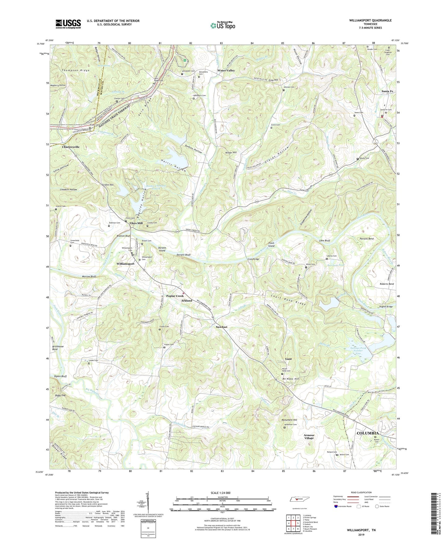
2022 topographic map quadrangle Williamsport in the state of Tennessee. Scale: 1:24000. Based on the newly updated USGS 7.5' US Topo map series, this map is in the following counties: Maury, Hickman. The map contains contour data, water features, and other items you are used to seeing on USGS maps, but also has updated roads and other features. This is the next generation of topographic maps. Printed on high-quality waterproof paper with UV fade-resistant inks.
Quads adjacent to this one:
West: Greenfield Bend
Northwest: Littlelot
North: Primm Springs
Northeast: Theta
East: Godwin
Southeast: Columbia
South: Mount Pleasant
Southwest: Mount Joy
This map covers the same area as the classic USGS quad with code o35087f2.
Contains the following named places: Akin Church, Akin Ridge, Akin Ridge Cemetery, Alderson Cemetery, Alexander Cemetery, Alexandria Cemetery, Alexandria Church, Arkland, Armour Village, Beasley Hollow, Beech Creek, Big Bigby Creek, Bigby Gap, Blackburn Cemetery, Booker Ridge, Bowen Cemetery, Bratton Bluff, Brooks Cemetery, Broom Cemetery, Bryant Cemetery, Burcham Pond, Capers, Cave Bluff, Cedar Hebrew School, Century, Charter Cemetery, Chartersville, Chert Bank Ridge, Church Cemetery, Claiborne Chapel African Methodist Episcopal Church, Cold Branch, Colemans Ferry, Commissioner District 7, Cook-Caughron Cemetery, Cooke Cemetery, Craig Bridge, Crosby Cemetery, District 14, District 17, Dodson Hollow, Dorsett Bluff, Dorsett Island, Erwin Cemetery, Fields Hollow, Fikes Mill, Finch Cemetery, Finch Island, Fitzgerald Branch, Foster Cemetery, Foster Chapel, Gant, Gant School, Grapevine Hollow, Gray Hill, Greenfield Cemetery, Greenfield Island, Griffin Hill, Harlan Branch, Harlan Kelley Mine, Harris Hollow, Helms Branch, Holmes Branch, Hood Hollow, Hooker Chemical Company Dam F, Hooker Chemical Company Pond F, Hooker Chemical Dam A, Hooker Chemical Dam B, Hooker Chemical Dam C, Hooker Chemical Dam D, Hooker Chemical Pond A, Hooker Chemical Pond B, Hooker Chemical Pond C, Hooker Chemical Pond D, Huckaby Lake, Huckaby Lake Dam, Hughes Bridge, Hunters Ford, John Branch, Johnson Branch, Johnson Cemetery, Jones Cemetery, Kinzer Hill, Leipers Creek, Liberty Cemetery, Liberty Christian Church, Limekiln Hollow, McKennon Cemetery, Mingo Branch, Monsanto Number Twelve Dam, Monsanto Number Two Dam, Monsanto Tailings Pond Number Nine, Monsanto Tailings Pond Number Ten, Monument Hill, Morrow Bluff, Mount Nebo, Mount Nebo Cemetery, Mount Nebo Church, Mount Nebo Hill, Parsons Bend, Persimmon Ridge, Pigg Branch, Pigg School, Polard Cemetery, Pollard Cemetery, Poplar Creek, Poplar Creek School, Poplar Top Division, Roberts Bend, Roberts Bend Branch, Rocky Branch, Saint Marks Episcopal Church, Samaritan School, Santa Fe, Santa Fe Cemetery, Santa Fe Post Office, Santa Fe School, Santa Fe Volunteer Fire Department Station 4, Sawdust, Snow Creek, Southall Ford, Spout Spring, Stockard Branch, Suck Island, Suck Island Ford, Tailings Pond Number Eight, Tailings Pond Number Eight Dam, Tailings Pond Number Eleven, Tailings Pond Number Eleven Dam, Tailings Pond Number Nine, Tailings Pond Number Ten, Tailings Pond Number Twelve, Tailings Pond Number Two, Thompson Ridge, Turkey Creek, Viola Church, Water Valley, Water Valley School, White Cemetery, Williamsport, Williamsport Baptist Church, Williamsport Cemetery, Williamsport Post Office, Williamsport United Methodist Church, Williamsport Volunteer Fire Department, Wisner Mines, Woodrow School, Woody Cemetery, Zion Chapel, ZIP Code: 38487


