MyTopo
Munford Tennessee US Topo Map
Couldn't load pickup availability
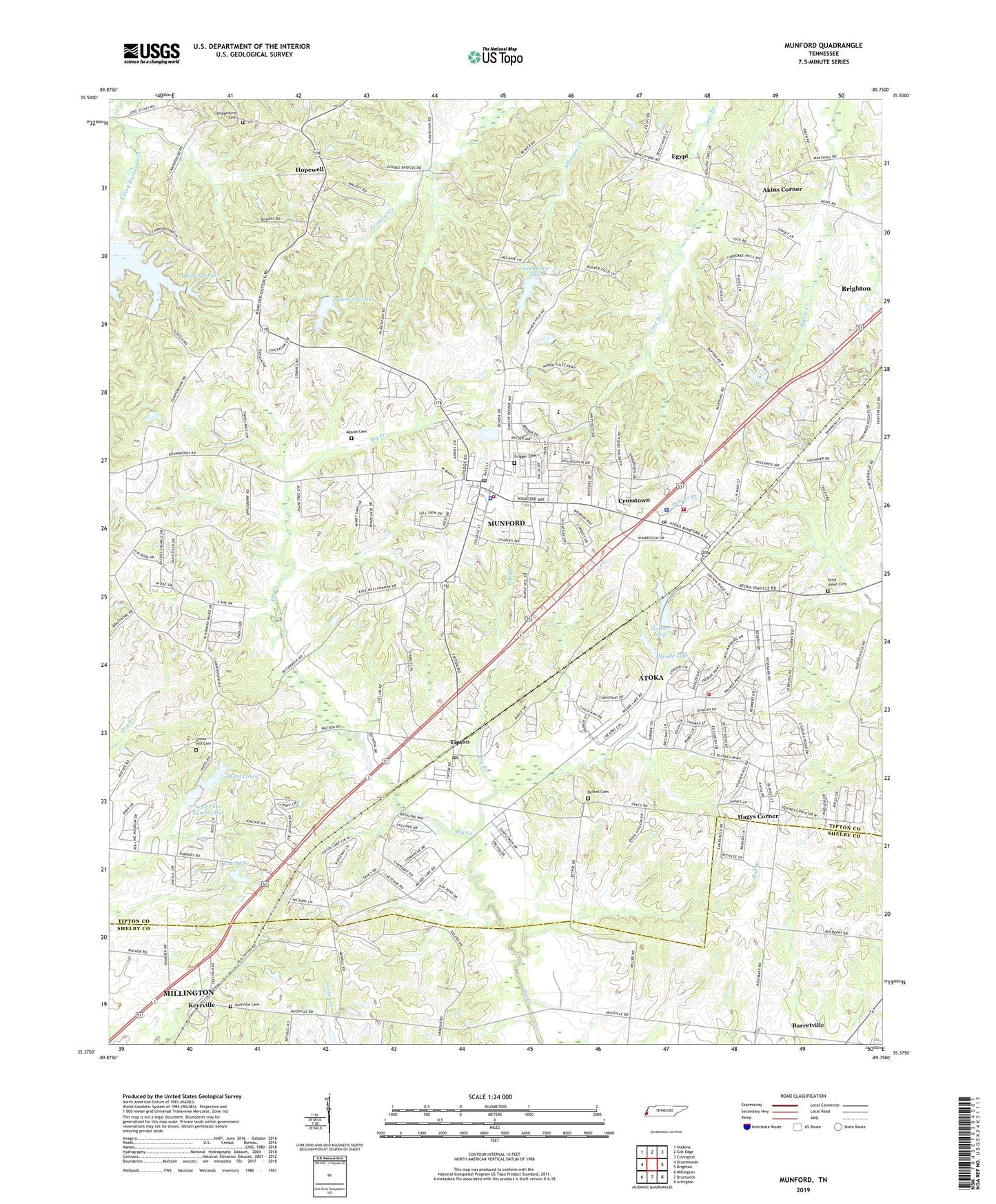
2019 topographic map quadrangle Munford in the state of Tennessee. Scale: 1:24000. Based on the newly updated USGS 7.5' US Topo map series, this map is in the following counties: Tipton, Shelby. The map contains contour data, water features, and other items you are used to seeing on USGS maps, but also has updated roads and other features. This is the next generation of topographic maps. Printed on high-quality waterproof paper with UV fade-resistant inks.
Quads adjacent to this one:
West: Drummonds
Northwest: Nodena
North: Gilt Edge
Northeast: Covington
East: Brighton
Southeast: Arlington
South: Brunswick
Southwest: Millington
Contains the following named places: Adams Cemetery, Akins Corner, Antioch Baptist Church, Atoka, Atoka City Hall, Atoka Fire Department Station 1, Atoka Fire Department Station 3, Atoka Police Department, Atoka Post Office, Barret Airport, Benedicts Lake, Benedicts Lake Dam, Bethel Cemetery, Bethel Church, Big Branch, Bull Branch, Campground Cemetery, Campground Church, City of Munford, Commissioner District 4, Commissioner District 5, Commissioner District 8, Craig Chapel, Crigger Cemetery, Crosstown, Crosstown School, Demerys Lake, Demerys Lake Dam, Double Bridges, East Fork Hurricane Creek, Egypt, Ellis School, Gin House Lake, Gin House Lake Dam, Glenview Lake, Glenview Lake Dam, Hagys Corner, Hanks Lake, Hanks Lake Dam, Hills Chapel, Hopewell, Hopewell Church, Hopewell School, Johnson Lake, Johnson Lake Dam, Jones Road Church, Kerrville, Kerrville Church, Kerrville Methodist Church, Kerrville Presbyterian Cemetery, Kerrville Presbyterian Church, Meade Lake, Mormon Church, Munford, Munford - Atoka Fire Department Headquarters, Munford Baptist Church, Munford Church of Christ, Munford City Hall, Munford City Park, Munford Elementary School, Munford High School, Munford Memorial Library, Munford Police Department, Munford Post Office, Munford Primary School, Munford United Methodist Church, Munford-Atoka Division, Pentecost Church, Reed Lake Number One, Reed Lake Number One Dam, Reed Lake Number Two, Reed Lake Number Two Dam, Reed Lakes, Saint Johns Cemetery, Saint Johns Church, Saint Marks Church, Simonton Church, Sumonton Church, Tipton, Tipton Church, Tipton County, Tipton County Landfill, Tipton Post Office, Tipton School, Town of Atoka, Union Hill Baptist Church Cemetery, Union Hill Church, Union Hill School, Walker Pond, ZIP Codes: 38004, 38058