
MyTopo
Walden Creek Tennessee US Topo Map
Couldn't load pickup availability
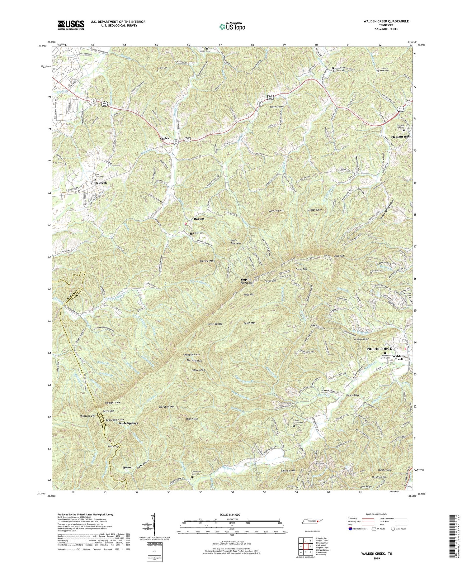
2019 topographic map quadrangle Walden Creek in the state of Tennessee. Scale: 1:24000. Based on the newly updated USGS 7.5' US Topo map series, this map is in the following counties: Sevier, Blount. The map contains contour data, water features, and other items you are used to seeing on USGS maps, but also has updated roads and other features. This is the next generation of topographic maps. Printed on high-quality waterproof paper with UV fade-resistant inks.
Quads adjacent to this one:
West: Wildwood
Northwest: Shooks Gap
North: Boyds Creek
Northeast: Douglas Dam
East: Pigeon Forge
Southeast: Gatlinburg
South: Wear Cove
Southwest: Kinzel Springs
Contains the following named places: Antioch Baptist Church, Bearwallow Mountain, Bench Mountain, Benson School, Berry Gap, Big Bridge Branch, Big Pine Mountain, Blue Rock Mountain, Bluff Mountain, Bogle Spring Branch, Boone Branch, Bridge Creek, Butt Branch, Camelick Branch, Canelick branch, Carter Branch, Chinquapin Cemetery, Chinquapin Church, Chinquapin School, Claiborne Baker Cemetery, Clear Fork, Coldspring Branch, Commissioner District 10, Commissioner District 2, Commissioner District 9, Compton Branch, Cove Creek, Cusick, Doyle Springs, Dripping Springs Baptist Church, Dripping Springs School, Dry Branch, Dupont, Dupont Baptist Church, Dupont Cemetery, Dupont School, Dupont Springs, East End, Fall Branch, Green Top, Harrison Chilhowee Academy, Headrick Top, Hidden Mountain Dam Number One, Hidden Mountain Dam Number Two, Hidden Mountain Lake Number One, Hidden Mountain Lake Number Two, Hornet, Horse Gap, House Mountain, Indian Branch, Ivy Hill Cemetery, Jackson Knob, Knob Creek, Knob Creek Baptist Church, Knob Creek Cemetery, Knob Creek Division, Knob Creek School, Laurel Creek, Laurel Grove Cemetery, Laurel Grove Church, Laurel Grove School, Lick Branch, Little Double, Little Pine Mountain, Long Branch, Long Hollow, Millstone Gap, Mountain View Cemetery, Mountain View Church, Murray Ridge, Nichols Branch, North Fork Ellejoy Creek, Patty Branch, Patty Hollow, Pitner School, Pleasant Hill, Pleasant Hill Cemetery, Pleasant Hill Church, Pleasant View, Reagan Branch, Rocky Gap, Sandspring Branch, Sandsuck Branch, Seymour Volunteer Fire Department Station 3, Shiloh Cemetery, Shiloh Church, Shiloh School, South Fork Ellejoy Creek, Sugarloaf Church, Sugarloaf Mountain, The Wolfhook, Tipton Spring Branch, Valley Branch, Valley Ridge, Waldens Creek, Waldens Creek Cemetery, Waldens Creek United Methodist Church, Waldens Creek Volunteer Fire Department, Walker Branch, Wear Valley Division, Webb Branch, White School, Whiteoak Branch, WIVK-FM (Knoxville), Yellow Knob, Yellow Spring Hollow, Zion Hill Cemetery, Zion Hill Church, Zion Hill School, ZIP Code: 37865


