MyTopo
Wauhatchie Tennessee US Topo Map
Couldn't load pickup availability
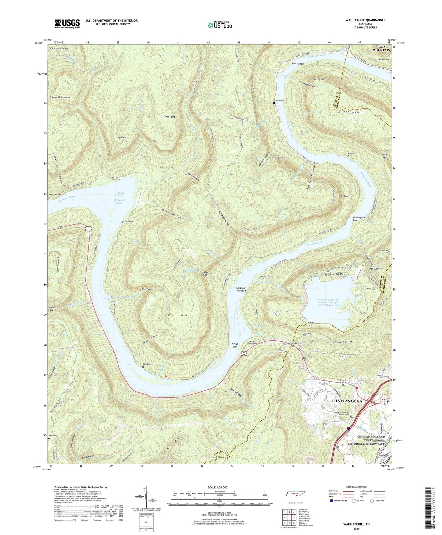
2019 topographic map quadrangle Wauhatchie in the state of Tennessee. Scale: 1:24000. Based on the newly updated USGS 7.5' US Topo map series, this map is in the following counties: Marion, Hamilton. The map contains contour data, water features, and other items you are used to seeing on USGS maps, but also has updated roads and other features. This is the next generation of topographic maps. Printed on high-quality waterproof paper with UV fade-resistant inks.
Quads adjacent to this one:
West: Sequatchie
Northwest: Whitwell
North: Ketner Gap
Northeast: Fairmount
East: Chattanooga
Southeast: Fort Oglethorpe
South: Hooker
Southwest: New Home
Contains the following named places: Aetna, Aetna Cemetery, Aetna Mines, Alex McNabb Branch, Bible Branch, Bill McNabb Gulf, Blowing Springs Branch, Blue Hole, Brown Gulf, Browns Lake, Butcher Creek, Chestnut Bridge Hollow, Cummings Gap, Cummings Lake, Deadman Eddy, Devils Pocket, Dividing Hollow, Dry Branch, Dry Creek, Elder Mountain, Elder Point, Ellis Cemetery, Ellis Gap, Ellis Gap Branch, Ellis Spring, Francis Cemetery, Grindstone Ridge, Halls Ferry, Halls Landing, Harwood Branch, Harwood Gulf, Hicks Gap, Hicks Mountain, Hogpen Branch, Huff Branch, Huff Spring, Hugden Branch, Isbill Branch, John McNabb Branch, Kellys Bar, Kellys Ferry, Kelly's Ferry Cemetery, Kelly's Ferry Church of God, Lakewood Memory Gardens West, Laurel Branch, Laurel Falls, Limekiln Hollow, Long Cemetery, Long Point, Lookout Mountain Division, Lookout Valley Recreational Vehicle Park, Massengale Point, McNabb Cemetery, McNabb Mines, McNabb School, McNabb Spring, Moore Hollow, Moore Hollow Creek, Muddy Branch, Mullens Cove, Mullens Creek, Mullins Cove Dock, Mullins Cove Volunteer Fire Department, Obar Branch, Obar Spring, Pan Gap, Pan Gap Branch, Parker Gap, Parker Gap Branch, Piney Branch, Pot Cemetery, Pot Point, Prentice Cooper State Forest and Wildlife Ma, Prentice-Cooper State Forest and Wildlife Management Area, Raccoon Mountain Pumped Station Dam, Raccoon Mountain Pumped Storage Dam and Reservoir, Raccoon Mountain Volunteer Fire Department, Ransom Hollow, Ritchie Hollow, Savannah Towhead, Scout Hollow, Shake Rag, Skillet Gap, Smith Hollow, Stanley, Stanley School, Suck Creek, Suck Creek Church, Suck Point, Suck Shoals, Tennessee Highway Patrol District Two Headquarters, The Pan, The Pot, The Skillet, The Suck, Walkers Landing Boat Dock, Wauhatchie, Wauhatchie Church, Whiteside Division, Wilcox Hollow, ZIP Codes: 37396, 37405, 37419