MyTopo
White House Tennessee US Topo Map
Couldn't load pickup availability
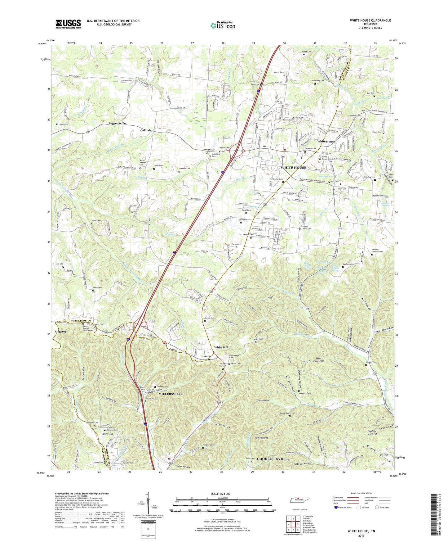
2022 topographic map quadrangle White House in the state of Tennessee. Scale: 1:24000. Based on the newly updated USGS 7.5' US Topo map series, this map is in the following counties: Sumner, Robertson, Davidson. The map contains contour data, water features, and other items you are used to seeing on USGS maps, but also has updated roads and other features. This is the next generation of topographic maps. Printed on high-quality waterproof paper with UV fade-resistant inks.
Quads adjacent to this one:
West: Greenbrier
Northwest: Youngville
North: Orlinda
Northeast: Portland
East: Cottontown
Southeast: Hendersonville
South: Goodlettsville
Southwest: Whites Creek
This map covers the same area as the classic USGS quad with code o36086d6.
Contains the following named places: Alden Cemetery, Armstrong Cemetery, Arterburn Branch, Baggettsville, Bentle Cemetery, Bethel Baptist Church, Bethel Baptist Church Cemetery, Black Sulphur Spring, Bloodworth Cemetery, Brinkley Cemetery, Bruce Cemetery, Burney Cemetery, Carter Cemetery, Carver Cemetery, Cawthon Cemetery, City of Millersville, City of White House, Cole Cemetery, Coleman-Raymon Cemetery, Commissioner District 11, Commissioner District 2, Concord Church, Doodle Hollow, Dorris Cemetery, Echo Hollow, Eidson-White Cemetery, First Baptist Church of White House, First United Methodist Church of White House, Fisher Hollow, Friendship Baptist Church, Fulcher Cemetery, Hampden Cemetery, Happy Valley, Harold B Williams Elementary School, Herrin Hollow, Hogan Branch, Howell Hollow, Hudgins Cemetery, Indian Trail Creek, Jernigan Cemetery, Jones Branch, Jones Cemetery, Jones Spring, Lassiter Cemetery, Latimer Cemetery, Latimer Springs, Latimer-Johnson Cemetery, Lee Cemetery, Locke Branch, Locke Springs, Martin Hollow, Mays Cemetery, McMurtry Cemetery, McMurtry Hollow, Merritt Cemetery, Mill Branch, Millersville Fire Department Station 1, Millersville Fire Department Station 2, Millersville Police Department, Mims, Moss Branch, Moss Cemetery, Mount Pleasant Cemetery, Mount Pleasant School, Mount Pleasant United Methodist Church, Mud Hollow, Nelson Cemetery, New Hope Baptist Church, New Hope Hollow, New Hope School, Oakdale, Oil Well Hollow, Parm Cemetery, Peaceful Acres, Pitt Cemetery, Pleasant Grove United Methodist Church, Ponds Cemetery, Red Sulphur Spring, Ridgetop School, Robertson Branch, Rocky Cliff, Rolling Acres, Rowland Hollow, Shallow Ford Hill, Shannon Cemetery, Shipp Hollow, Slaters Chapel, Strickland Cemetery, Sugar Camp Hill, Swift Cemetery, Templeton Cemetery, The Narrows, Thomas Cemetery, Tri County Baptist Church, Turpin Cemetery, Turpin Hollow, Twin Springs, Tyree Springs, Upchurch Cemetery, Warren Cemetery, Watkins Cemetery, Webb Branch, Webb Cemetery, White Hill, White Hill Cemetery, White Hill Cemetery Church, White Hill School, White House, White House Cemetery, White House Church of Christ, White House City Fire Department, White House City Hall, White House City Park, White House Community Volunteer Fire Department Station 51 Headquarters, White House Elementary School, White House High School, White House Inn Museum, White House Library, White House Middle School, White House Police Department, White House Post Office, White House Quarry, White Sulphur Spring, Widick Cemetery, Wild Cat Hollow, Williamson Branch, Woodchopping Branch, Zion Chapel, ZIP Code: 37188


