MyTopo
Whitfield Tennessee US Topo Map
Couldn't load pickup availability
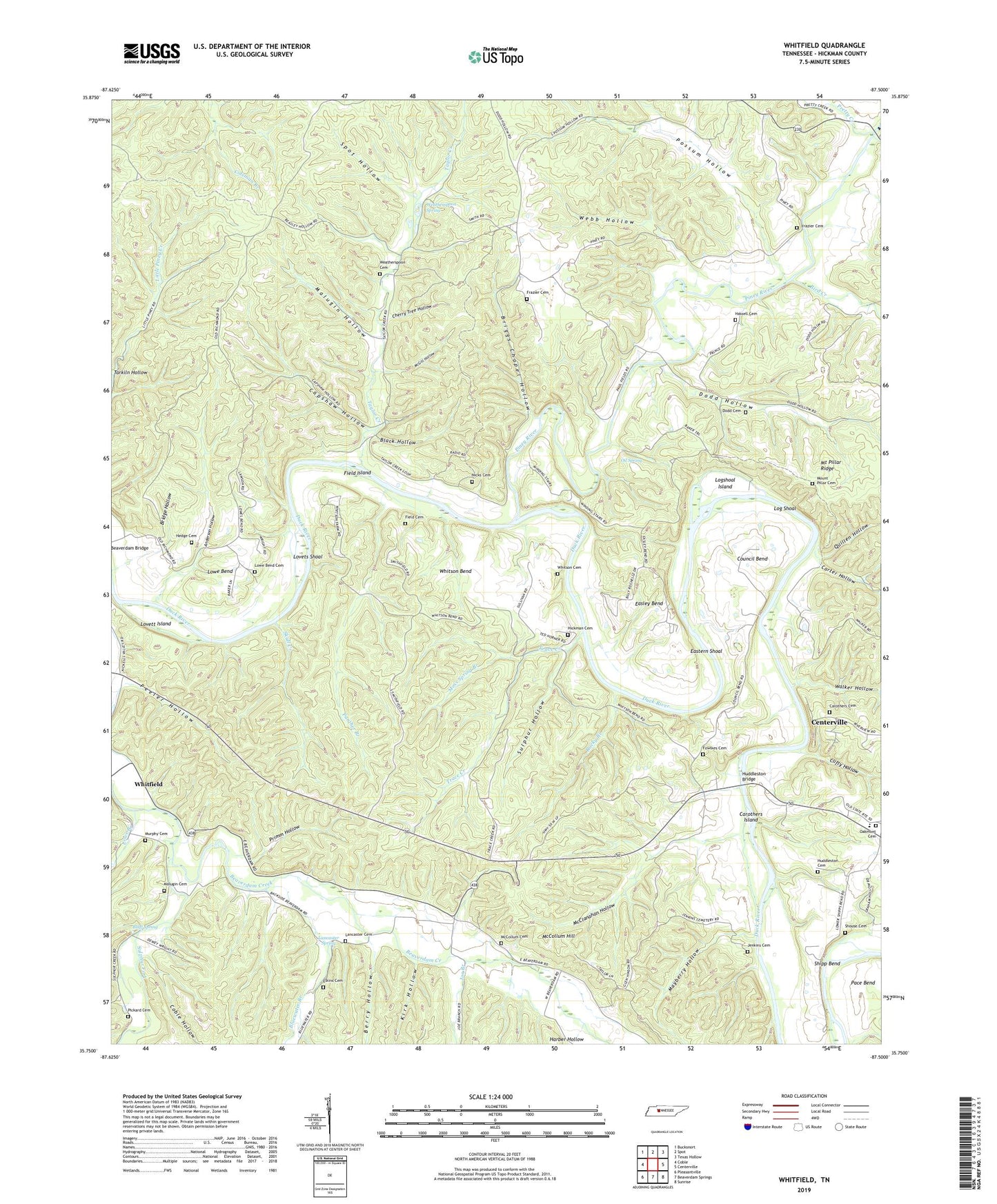
2022 topographic map quadrangle Whitfield in the state of Tennessee. Scale: 1:24000. Based on the newly updated USGS 7.5' US Topo map series, this map is in the following counties: Hickman. The map contains contour data, water features, and other items you are used to seeing on USGS maps, but also has updated roads and other features. This is the next generation of topographic maps. Printed on high-quality waterproof paper with UV fade-resistant inks.
Quads adjacent to this one:
West: Coble
Northwest: Bucksnort
North: Spot
Northeast: Texas Hollow
East: Centerville
Southeast: Sunrise
South: Beaverdam Springs
Southwest: Pleasantville
This map covers the same area as the classic USGS quad with code o35087g5.
Contains the following named places: Anderson Hollow, Berry Hollow, Bird Creek, Black Hollow, Bluewater Branch, Bluff Spring, Bridge Hollow, Briggs Chapel Hollow, Capshaw Hollow, Carothers Cemetery, Carothers Island, Carter Hollow, Cherry Tree Hollow, Clifty Hollow, Coble Hollow, Council Bend, Dodd Cemetery, Dodd Hollow, Easley Bend, Eastern Shoal, Elkins Cemetery, Field Cemetery, Field Island, Fowlkes Cemetery, Frazier Cemetery, Grand View School, Harber Hollow, Hassell Cemetery, Hedge Cemetery, Hickman Cemetery, Hicks Ford, Huddleston Bridge, Huddleston Cemetery, Huddlestons Ford, Jenkins Cemetery, Joe Branch, Kirk Hollow, Lancaster Cemetery, Lancaster Spring, Liberty Church, Log Shoal, Logshoal Island, Lovets Shoal, Lovett Island, Lowe Bend, Lowe Bend Cemetery, Lowe Bend Church, Lowe Bend School, Lowe Branch, Malugin Cemetery, Malugin Hollow, Mayberry Hollow, McClanahan Hollow, McCollum Cemetery, McCollum Hill, McGill Hollow, Moss Spring Branch, Mount Carmel School, Mount Pillar Cemetery, Mount Pillar Ridge, Mount Pillar School, Muddy Branch, Murphy Cemetery, Nicks Cemetery, Oakmont Cemetery, Oil Spring, Pace Bend, Panther Branch, Peeler Hollow, Pickard Cemetery, Piney River, Possum Hollow, Pretty Creek, Primm Hollow, Quillen Hollow, Richmond Roads, Rock Field Church, Rocky Branch, Scotts Ford, Settle Point School, Shipp Bend, Shouse Cemetery, Skull Creek, Spot Hollow, Sulphur Fork, Sulphur Hollow, Tarkiln Hollow, Taylor Creek, Trace Creek, Walker Hollow, Weatherspoon Cemetery, Weatherspoon Spring, Webb Hollow, Whitfield, Whitson Bend, Whitson Bend School, Whitson Cemetery, WHLP-FM (Centerville)