MyTopo
Antelope Texas US Topo Map
Couldn't load pickup availability
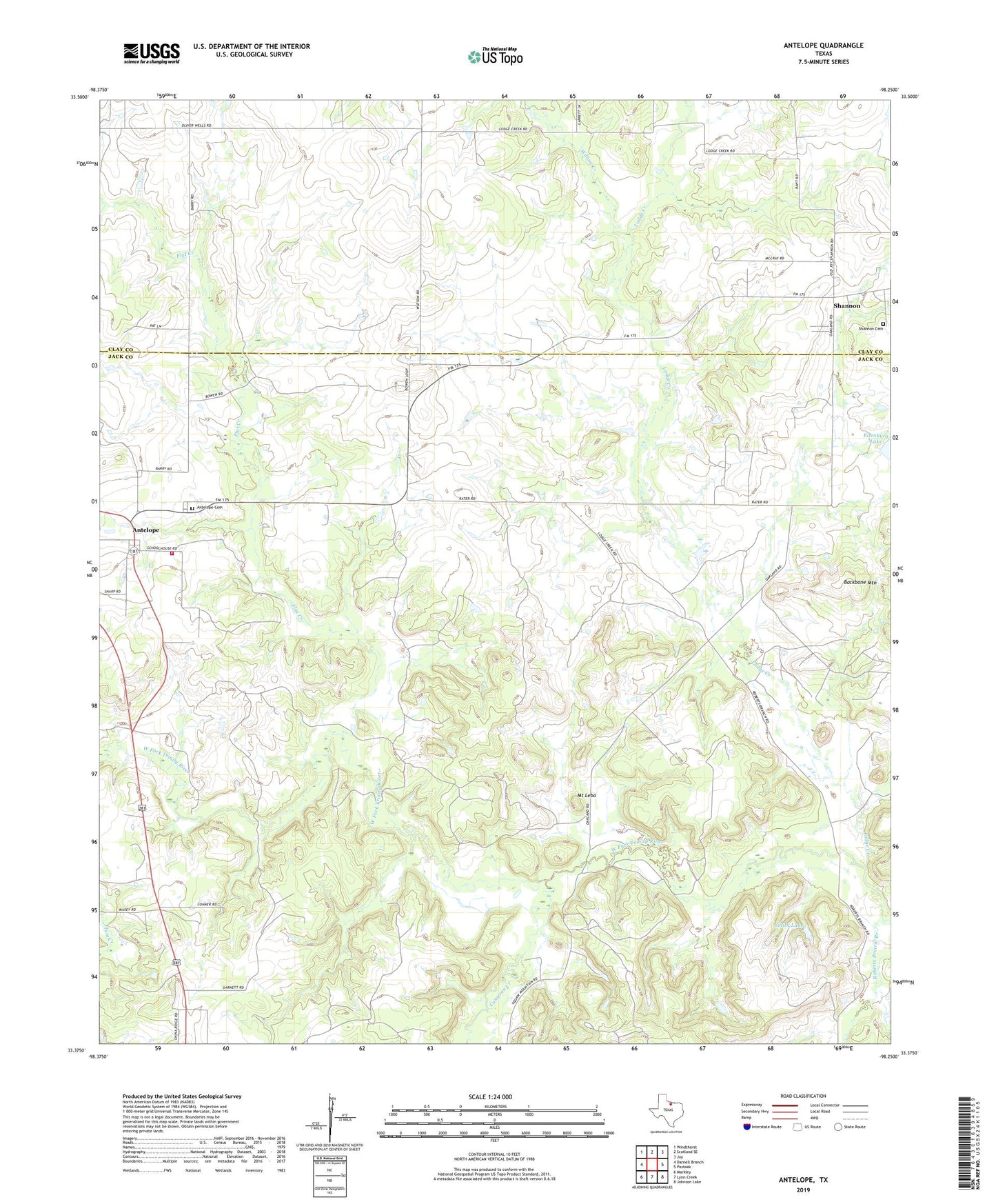
2019 topographic map quadrangle Antelope in the state of Texas. Scale: 1:24000. Based on the newly updated USGS 7.5' US Topo map series, this map is in the following counties: Jack, Clay. The map contains contour data, water features, and other items you are used to seeing on USGS maps, but also has updated roads and other features. This is the next generation of topographic maps. Printed on high-quality waterproof paper with UV fade-resistant inks.
Quads adjacent to this one:
West: Darnell Branch
Northwest: Windthorst
North: Scotland SE
Northeast: Joy
East: Postoak
Southeast: Johnson Lake
South: Lynn Creek
Southwest: Markley
Contains the following named places: Antelope, Antelope Cemetery, Antelope Volunteer Fire Department, Backbone Mountain, Cameron Creek, Ellenburg Lake, Ellenburg Lake Dam, Flat Creek, Hoefle Oil Field, Lodge Creek, Mount Lebo, Oakland, Roberts Prairie Branch, Shannon, Shannon Cemetery, Smith Lake, Smith Lake Dam, Willow Creek