MyTopo
Postoak Texas US Topo Map
Couldn't load pickup availability
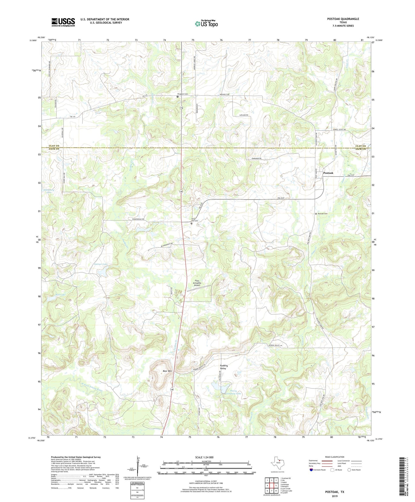
2022 topographic map quadrangle Postoak in the state of Texas. Scale: 1:24000. Based on the newly updated USGS 7.5' US Topo map series, this map is in the following counties: Jack, Clay. The map contains contour data, water features, and other items you are used to seeing on USGS maps, but also has updated roads and other features. This is the next generation of topographic maps. Printed on high-quality waterproof paper with UV fade-resistant inks.
Quads adjacent to this one:
West: Antelope
Northwest: Scotland SE
North: Joy
Northeast: Vashti
East: Newport
Southeast: Cundiff
South: Johnson Lake
Southwest: Lynn Creek
This map covers the same area as the classic USGS quad with code o33098d2.
Contains the following named places: Ball Lake, Ball Lake Dam, Bear Mountain, Campsey Dam, Flyin Armadillo Airport, Garner Lake, Garner Lake Dam, Harry Campsey Lake, Postoak, Postoak Cemetery, Prospect, Prospect Cemetery, Pudding Valley, Silver Hill Cemetery, Turkey Creek