MyTopo
Arroyo Veleno Texas US Topo Map
Couldn't load pickup availability
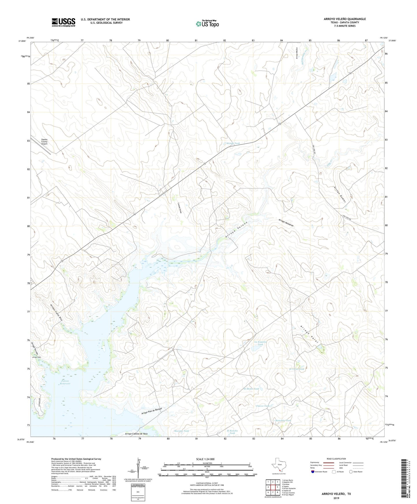
2019 topographic map quadrangle Arroyo Veleno in the state of Texas. Scale: 1:24000. Based on the newly updated USGS 7.5' US Topo map series, this map is in the following counties: Zapata. The map contains contour data, water features, and other items you are used to seeing on USGS maps, but also has updated roads and other features. This is the next generation of topographic maps. Printed on high-quality waterproof paper with UV fade-resistant inks.
Quads adjacent to this one:
West: Zapata
Northwest: Arroyo Burro
North: Mogotes Hill
Northeast: Escobas
East: Arroyo Huisache
Southeast: Arroyo Miguel
South: Arroyo Clareno
Southwest: Zapata SE
Contains the following named places: Arroyo Blanco, Arroyo Cabeza de Vaca, Arroyo Costa Rica, Arroyo Dodier, Arroyo Humaran, Arroyo Indio, Arroyo Plan de Barajas, Arroyo Torcido, Arroyo Varal, Arroyo Veleno, Canada Honda, Charco Tank, El Medio Tank, El Rancho Tank, El Varal Tank, Gutierrez Lake Number 1, Gutierrez Lake Number 1 Dam, Gutierrez Lake Number 2, Gutierrez Lake Number 2 Dam, Hondo Tank, La Esquina Tank, Maestro Tank, Ranchito Tank, Salomoneno Creek, Villa Creek, Zapata County Airport, ZIP Code: 78076