MyTopo
Arroyo Burro Texas US Topo Map
Couldn't load pickup availability
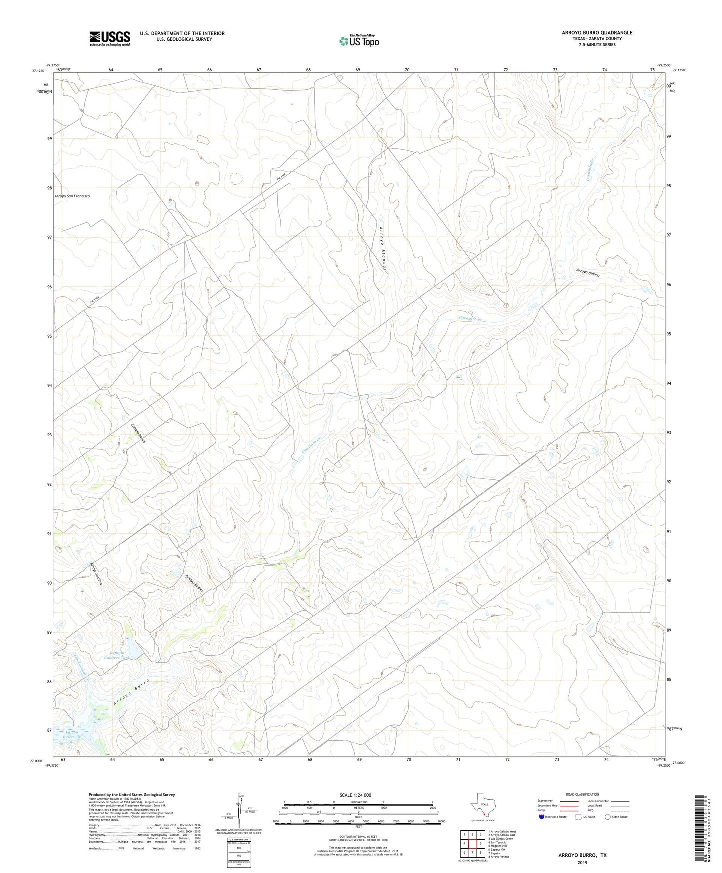
2022 topographic map quadrangle Arroyo Burro in the state of Texas. Scale: 1:24000. Based on the newly updated USGS 7.5' US Topo map series, this map is in the following counties: Zapata. The map contains contour data, water features, and other items you are used to seeing on USGS maps, but also has updated roads and other features. This is the next generation of topographic maps. Printed on high-quality waterproof paper with UV fade-resistant inks.
Quads adjacent to this one:
West: San Ygnacio
Northwest: Arroyo Salado West
North: Arroyo Salado East
Northeast: Las Ovejas Creek
East: Mogotes Hill
Southeast: Arroyo Veleno
South: Zapata
Southwest: Zapata NW
This map covers the same area as the classic USGS quad with code o27099a3.
Contains the following named places: Arroyo Blancas, Arroyo Blanco, Arroyo Bugies, Arroyo Burro, Arroyo Javalina, Canada Rosias, Cavasara Creek, Las Palomas Creek, Marcial Creek, Paz Rameriz Lake Dam, Paz Ramirez Lake, Ramirez Lake Dam, Refugio Ramirez Tank