MyTopo
Ashtola Texas US Topo Map
Couldn't load pickup availability
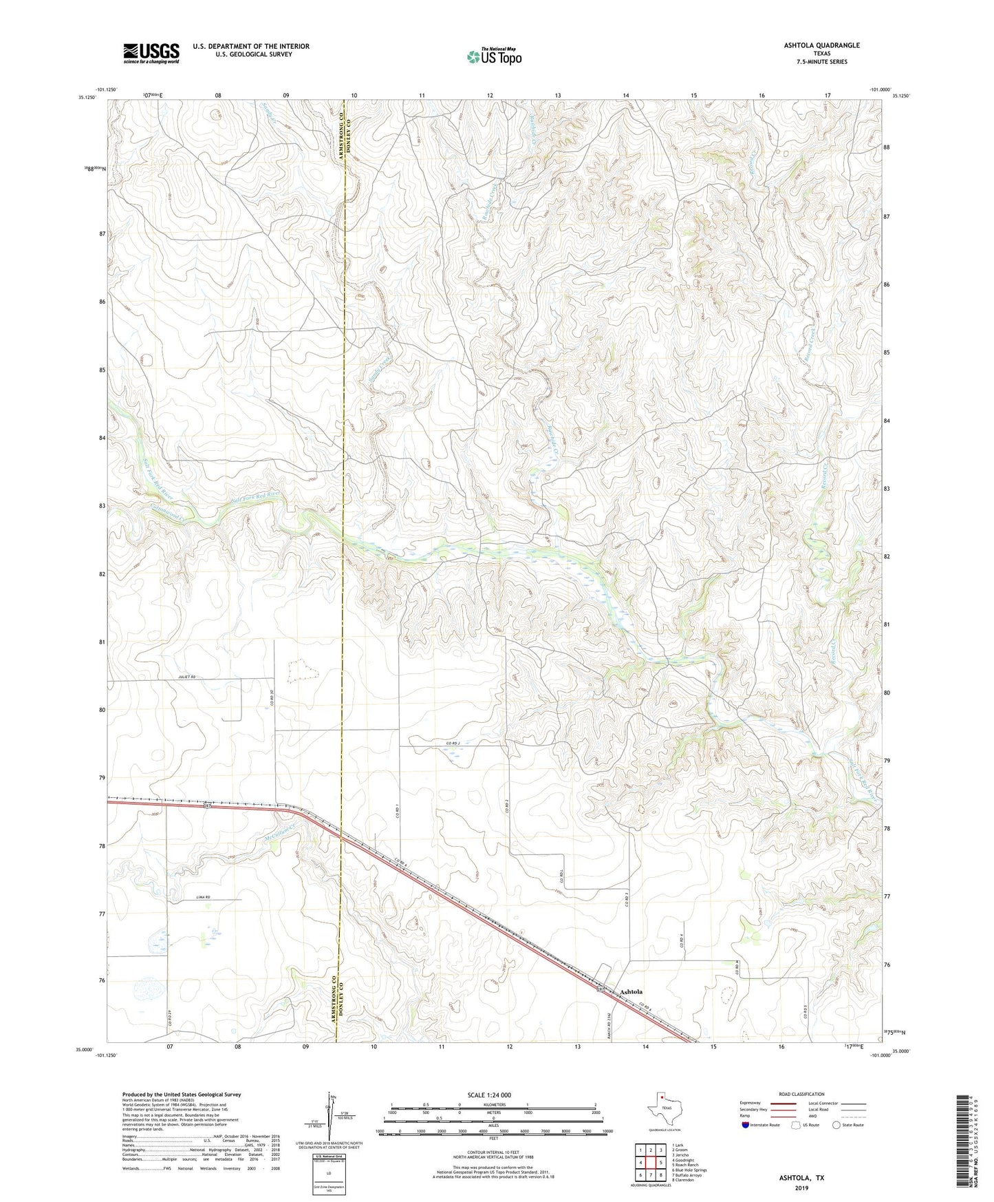
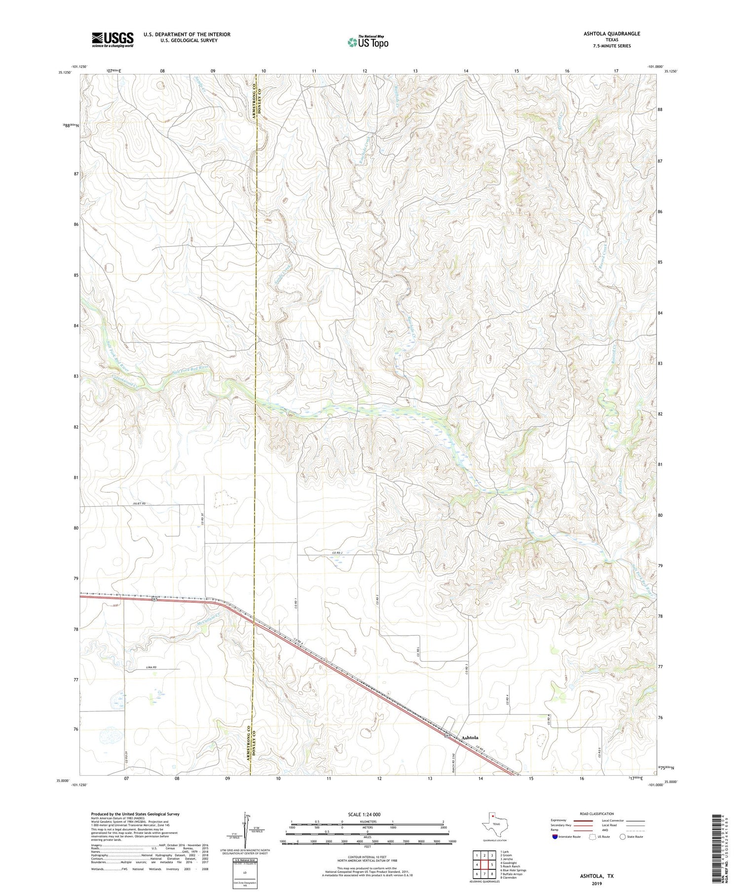
2019 topographic map quadrangle Ashtola in the state of Texas. Scale: 1:24000. Based on the newly updated USGS 7.5' US Topo map series, this map is in the following counties: Donley, Armstrong. The map contains contour data, water features, and other items you are used to seeing on USGS maps, but also has updated roads and other features. This is the next generation of topographic maps. Printed on high-quality waterproof paper with UV fade-resistant inks.
Quads adjacent to this one:
West: Goodnight
Northwest: Lark
North: Groom
Northeast: Jericho
East: Roach Ranch
Southeast: Clarendon
South: Buffalo Arroyo
Southwest: Blue Hole Springs
Contains the following named places: Ashtola, Cottonwood Creek, Rawhide Creek, Record Creek, S J Ranch, Sandy Creek, Swift Ranch