MyTopo
Roach Ranch Texas US Topo Map
Couldn't load pickup availability
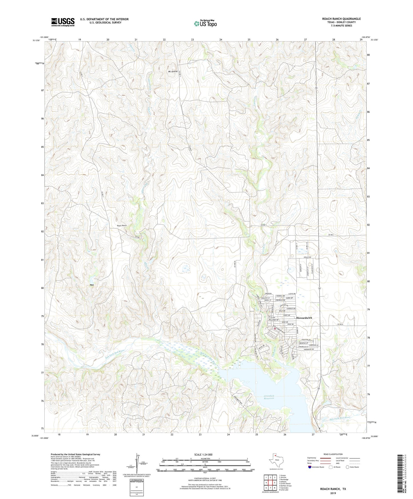
2022 topographic map quadrangle Roach Ranch in the state of Texas. Scale: 1:24000. Based on the newly updated USGS 7.5' US Topo map series, this map is in the following counties: Donley. The map contains contour data, water features, and other items you are used to seeing on USGS maps, but also has updated roads and other features. This is the next generation of topographic maps. Printed on high-quality waterproof paper with UV fade-resistant inks.
Quads adjacent to this one:
West: Ashtola
Northwest: Groom
North: Jericho
Northeast: Rockledge
East: Griffin Ranch
Southeast: Lelia Lake
South: Clarendon
Southwest: Buffalo Arroyo
This map covers the same area as the classic USGS quad with code o35100a8.
Contains the following named places: Allen Creek, Carrol Creek, City of Howardwick, Clarendon Country Club, Greenbelt Dam, Greenbelt Reservoir, Howardwick, Howardwick Volunteer Fire Department, Kelly Creek, Mount Ararat, Roach Ranch