MyTopo
Barrilla Mountains West Texas US Topo Map
Couldn't load pickup availability
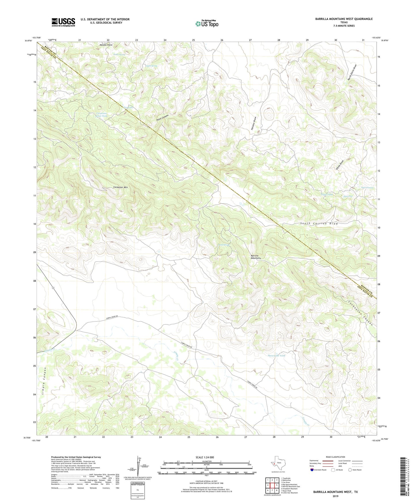
2019 topographic map quadrangle Barrilla Mountains West in the state of Texas. Scale: 1:24000. Based on the newly updated USGS 7.5' US Topo map series, this map is in the following counties: Jeff Davis, Reeves. The map contains contour data, water features, and other items you are used to seeing on USGS maps, but also has updated roads and other features. This is the next generation of topographic maps. Printed on high-quality waterproof paper with UV fade-resistant inks.
Quads adjacent to this one:
West: Big Aguja Mountain
Northwest: Toyahvale
North: Balmorhea
Northeast: Cox Draw
East: Barrilla Mountains East
Southeast: Little Star Mountain
South: Major Peak
Southwest: Swayback Mountain
Contains the following named places: Apple Spring, Aqua Friw, Aqua Primera, Barrilla Mountains, Bluff Windmill, Box Canyon Windmill, Carpenter Goat Tank, Carpenter Goat Windmill, Carpenter Mountain, Carpenter Windmill, Carrizo Windmill, Corner Windmill, Dry Lake, Head Spring, Hernandez Windmill, High Park Windmill, House Spring, Limpia Canyon, Lower Hernandez Windmill, McCamey Windmill, Middle Windmill, Mighty High Windmill, Needle Point, New Park Windmill, Nogel Tank, Oil Well Windmill, Park Windmill, Poly Windmill, Shewmake Tank, Shewmake Windmill