MyTopo
Beck Ranch Texas US Topo Map
Couldn't load pickup availability
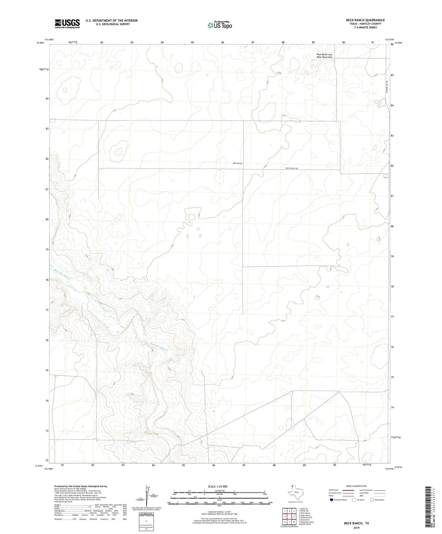
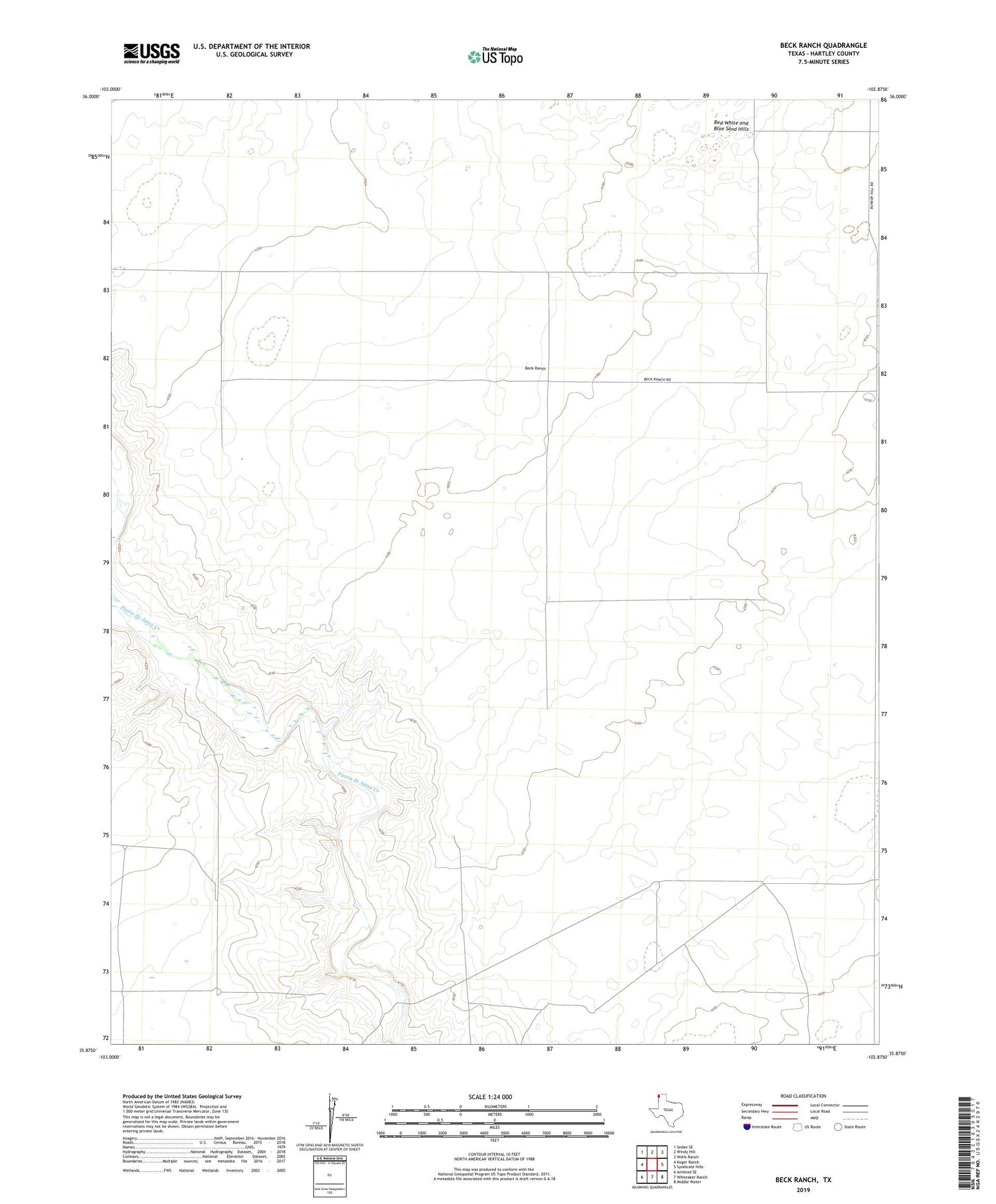
2019 topographic map quadrangle Beck Ranch in the state of Texas. Scale: 1:24000. Based on the newly updated USGS 7.5' US Topo map series, this map is in the following counties: Hartley. The map contains contour data, water features, and other items you are used to seeing on USGS maps, but also has updated roads and other features. This is the next generation of topographic maps. Printed on high-quality waterproof paper with UV fade-resistant inks.
Quads adjacent to this one:
West: Koger Ranch
Northwest: Sedan SE
North: Windy Hill
Northeast: Wells Ranch
East: Syndicate Hills
Southeast: Middle Water
South: Whiteaker Ranch
Southwest: Amistad SE
Contains the following named places: Beck Ranch, Bull Well, Finger Well, Four Way Well, Heifer Well, Lower Road Well, New Reynolds Well, Reynolds Well, Road Well, Southeast Well, T O Well, Two Line Well, U Bar Camp, Well Number Eight, Well Number One, Well Number Seven, Well Number Three, West Bennett Well