MyTopo
Syndicate Hills Texas US Topo Map
Couldn't load pickup availability
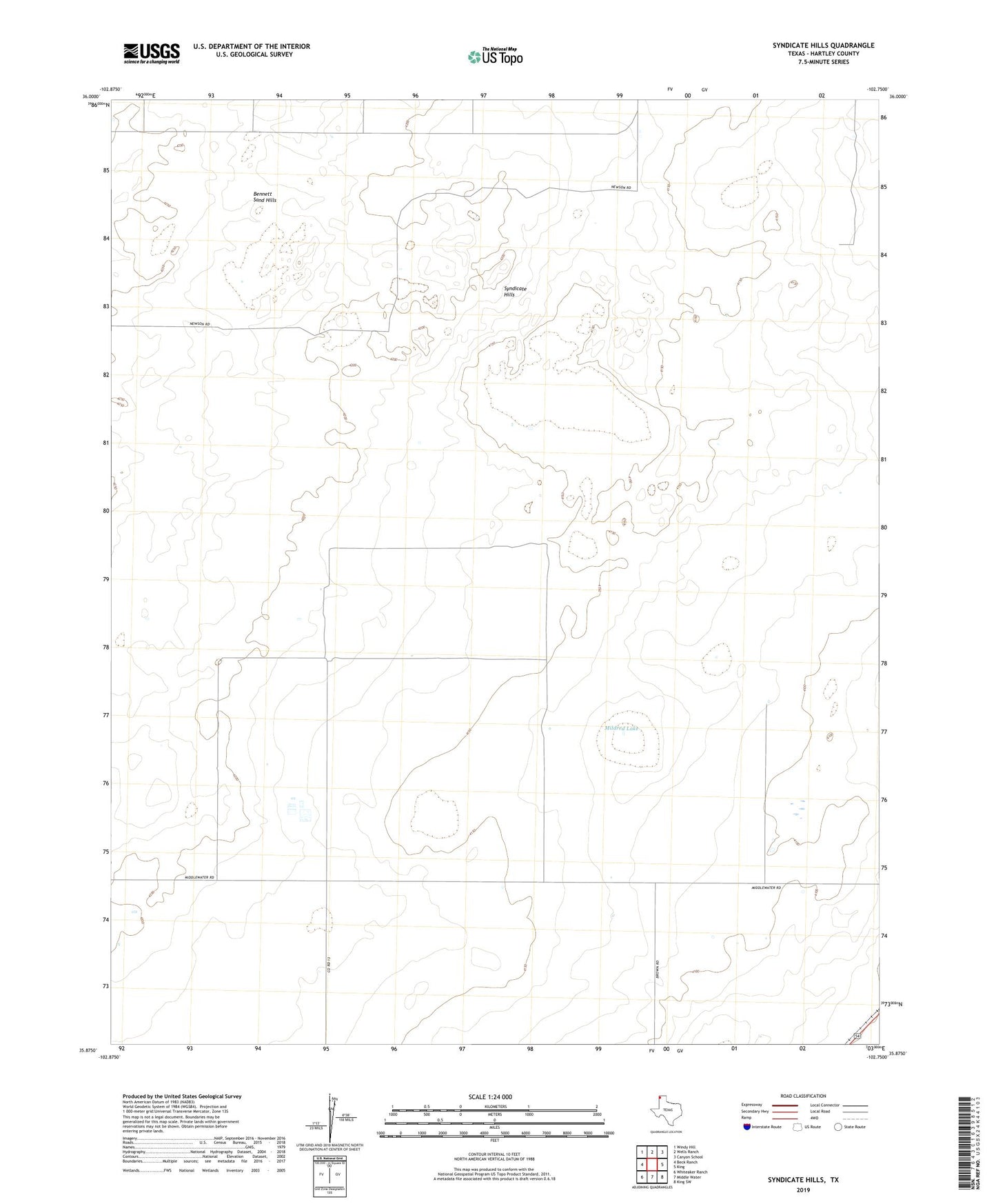
2022 topographic map quadrangle Syndicate Hills in the state of Texas. Scale: 1:24000. Based on the newly updated USGS 7.5' US Topo map series, this map is in the following counties: Hartley. The map contains contour data, water features, and other items you are used to seeing on USGS maps, but also has updated roads and other features. This is the next generation of topographic maps. Printed on high-quality waterproof paper with UV fade-resistant inks.
Quads adjacent to this one:
West: Beck Ranch
Northwest: Windy Hill
North: Wells Ranch
Northeast: Canyon School
East: King
Southeast: King SW
South: Middle Water
Southwest: Whiteaker Ranch
This map covers the same area as the classic USGS quad with code o35102h7.
Contains the following named places: Bennett Sand Hills, Corral Well, Deadman Well, Gray Well, High Well, McCrory Ranch, Mildred Lake, Munn Well, North Summerour Well, South Summerour Well, Syndicate Hills, Twin Mill, Valley Well, Well Number Fiftynine, Well Number Forty, Well Number Thirtynine, Well Number Thirtysix, Well Number Twentyfive, Well Number Twentyfour, Well Number Twentyseven, West Well