MyTopo
Beckville Texas US Topo Map
Couldn't load pickup availability
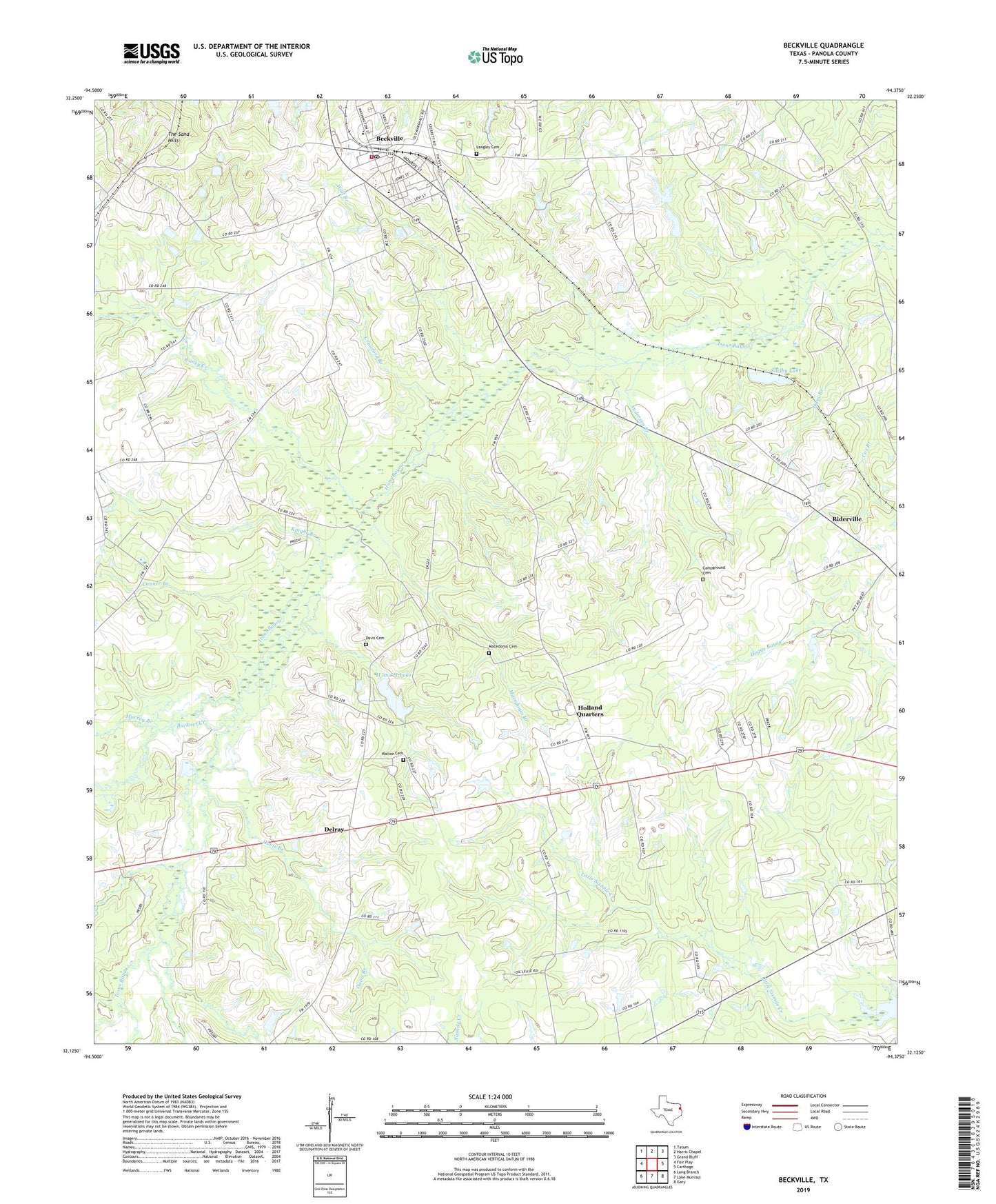
2019 topographic map quadrangle Beckville in the state of Texas. Scale: 1:24000. Based on the newly updated USGS 7.5' US Topo map series, this map is in the following counties: Panola. The map contains contour data, water features, and other items you are used to seeing on USGS maps, but also has updated roads and other features. This is the next generation of topographic maps. Printed on high-quality waterproof paper with UV fade-resistant inks.
Quads adjacent to this one:
West: Fair Play
Northwest: Tatum
North: Harris Chapel
Northeast: Grand Bluff
East: Carthage
Southeast: Gary
South: Lake Murvaul
Southwest: Long Branch
Contains the following named places: 3-H Lake Dam, 75631, Anderson Branch, Beckville, Beckville Post Office, Beckville Volunteer Fire Department Station 1, Buckner Creek, Campground Cemetery, Caney Creek, City of Beckville, Conner Branch, Crawford Branch, Davis Branch, Delray, Ebenezer Church, H and H Lake, Hays Branch, Holland Quarters, Holland Quarters Cemetery, Knight Branch, Langley Cemetery, Macedonia Branch, Murray Branch, New Prospect Church, Old Macedonia Cemetery, Old Walton Cemetery, Pisgah Church, Restland Memorial Park, Riderville, Shelby Lake, The Sand Hills, Wall Branch, Walton Cemetery, Youngblood Cemetery, Youngblood Church