MyTopo
Ben Bolt SE Texas US Topo Map
Couldn't load pickup availability
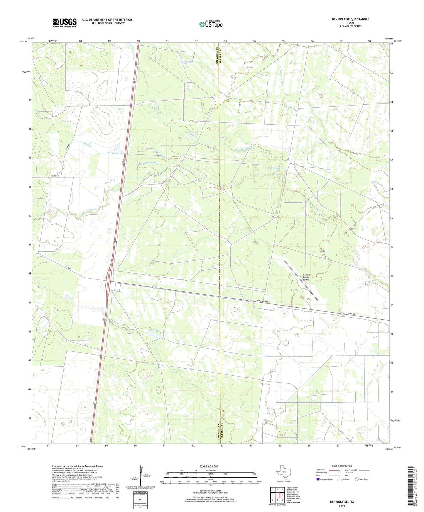
2022 topographic map quadrangle Ben Bolt SE in the state of Texas. Scale: 1:24000. Based on the newly updated USGS 7.5' US Topo map series, this map is in the following counties: Jim Wells, Kleberg. The map contains contour data, water features, and other items you are used to seeing on USGS maps, but also has updated roads and other features. This is the next generation of topographic maps. Printed on high-quality waterproof paper with UV fade-resistant inks.
Quads adjacent to this one:
West: Palito Blanco
Northwest: Ben Bolt NW
North: Alice South
Northeast: Kingsville NW
East: Kingsville West
Southeast: Escondido Lake
South: Ella
Southwest: Seeligson Ranch
This map covers the same area as the classic USGS quad with code o27098e1.
Contains the following named places: Ben Bolt Oil Field, Chivos Lake, Chivos Windmill, Ebanos Windmill, El Parr Windmill, Hormigas Windmill, King Ranch Borregos Oil Field, King Ranch Dam Number 4, Kleberg County Airport, Las Conchas Lake, Los Machos Ranch, Marrano Windmill, Motas Negras Windmill, North Windmill, Olmo Grande Windmill, Olmo Lake, Papalote Blanco Windmill, Patricio Lake, Patricio Windmill, Presa de Rayo Windmill, Reservoir Number 4, San Andreas Creek, Tamales Windmill, Trinidad Creek, Trinidad Lake