MyTopo
Bryans Mill Texas US Topo Map
Couldn't load pickup availability
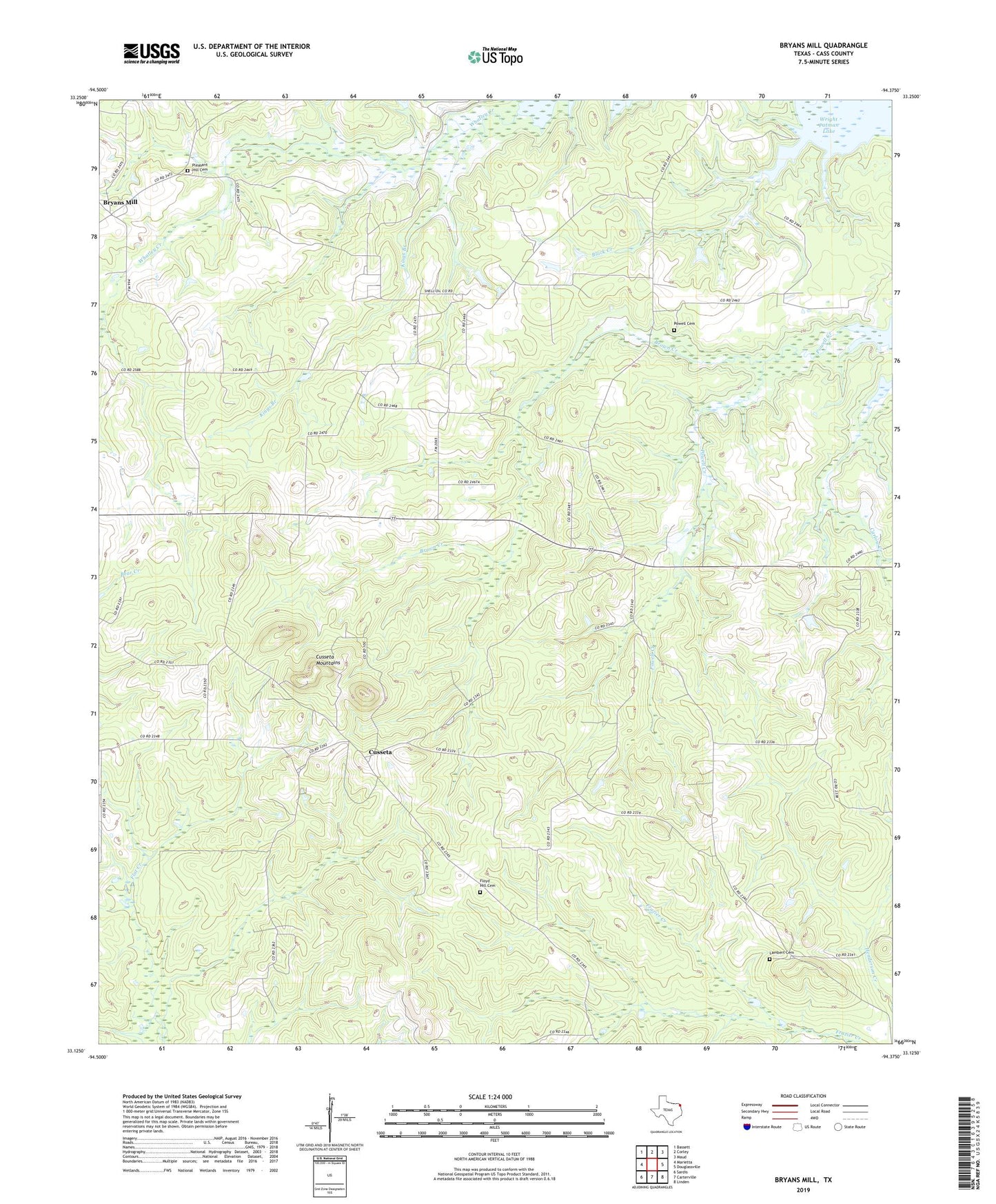
2019 topographic map quadrangle Bryans Mill in the state of Texas. Scale: 1:24000. Based on the newly updated USGS 7.5' US Topo map series, this map is in the following counties: Cass. The map contains contour data, water features, and other items you are used to seeing on USGS maps, but also has updated roads and other features. This is the next generation of topographic maps. Printed on high-quality waterproof paper with UV fade-resistant inks.
Quads adjacent to this one:
West: Marietta
Northwest: Bassett
North: Corley
Northeast: Maud
East: Douglassville
Southeast: Linden
South: Carterville
Southwest: Sardis
Contains the following named places: Black Creek, Brown Creek, Bryans Mill, Bryans Mill Gas Plant, Carlow Creek, Cedar Grove Church, Cusseta, Cusseta Mountains, Floyd Hill Cemetery, Floyd Hill Church, Floyd Valley Church, Kings Branch, Lambert Cemetery, Marietta-Douglassville Division, Mount Zion Church, Pleasant Hill Cemetery, Powell Cemetery, Powell Creek, Spring Hill Church, Union Chapel, Whatley Creek, ZIP Code: 75566