MyTopo
Buckhorn Draw West Texas US Topo Map
Couldn't load pickup availability
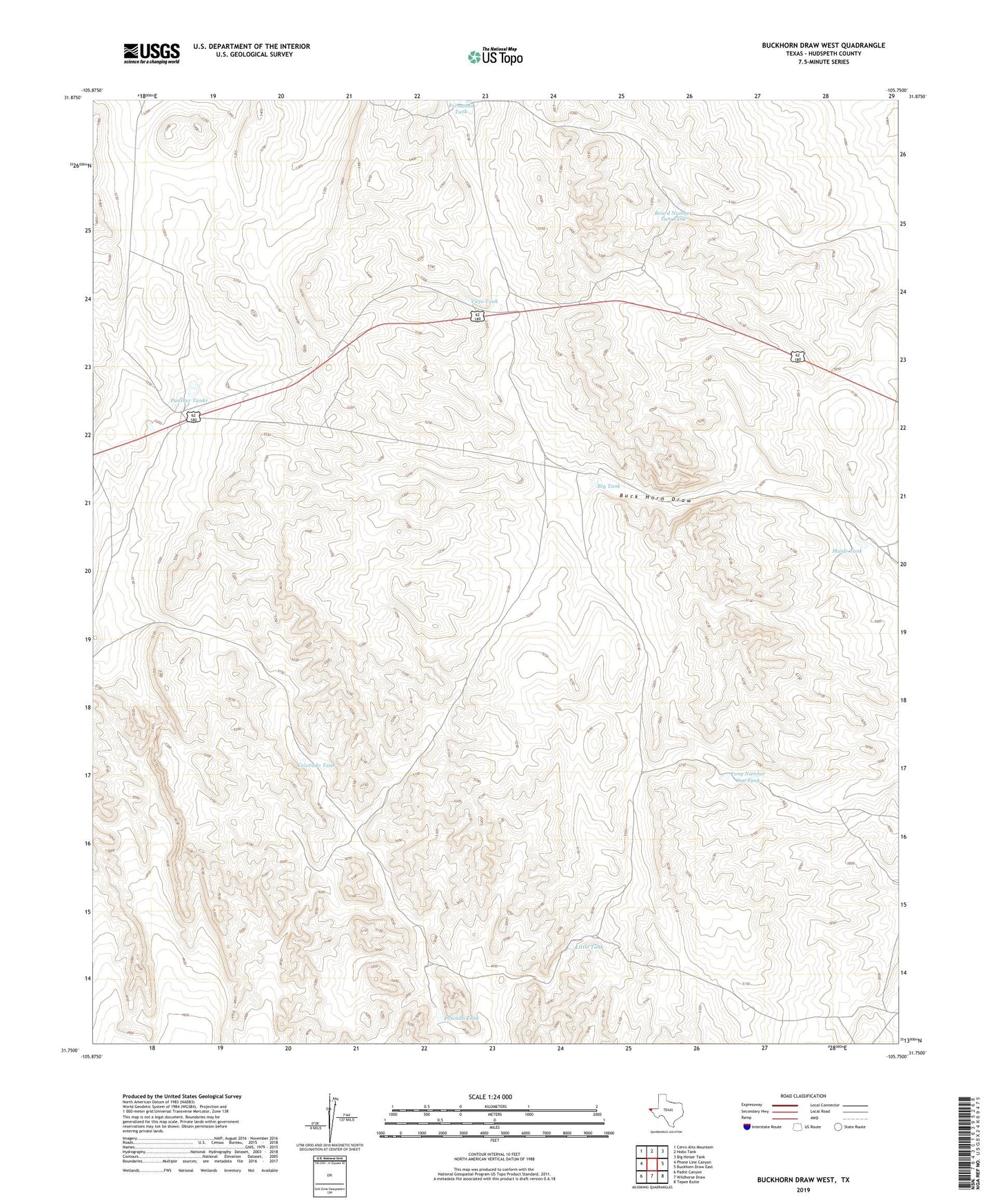
2022 topographic map quadrangle Buckhorn Draw West in the state of Texas. Scale: 1:24000. Based on the newly updated USGS 7.5' US Topo map series, this map is in the following counties: Hudspeth. The map contains contour data, water features, and other items you are used to seeing on USGS maps, but also has updated roads and other features. This is the next generation of topographic maps. Printed on high-quality waterproof paper with UV fade-resistant inks.
Quads adjacent to this one:
West: Phone Line Canyon
Northwest: Cerro Alto Mountain
North: Hobo Tank
Northeast: Big Heiser Tank
East: Buckhorn Draw East
Southeast: Tepee Butte
South: Wildhorse Draw
Southwest: Padre Canyon
This map covers the same area as the classic USGS quad with code o31105g7.
Contains the following named places: Beard Number Two Tank, Big Tank, Bonita Tank, Colorado Tank, Fernando Tank, Jenny Tank, Joe Tank, Little Tank, Maide Tank, Panther Tanks, Pescado Tank, Tony Number One Tank, Viejo Tank