MyTopo
C And L Draw Texas US Topo Map
Couldn't load pickup availability
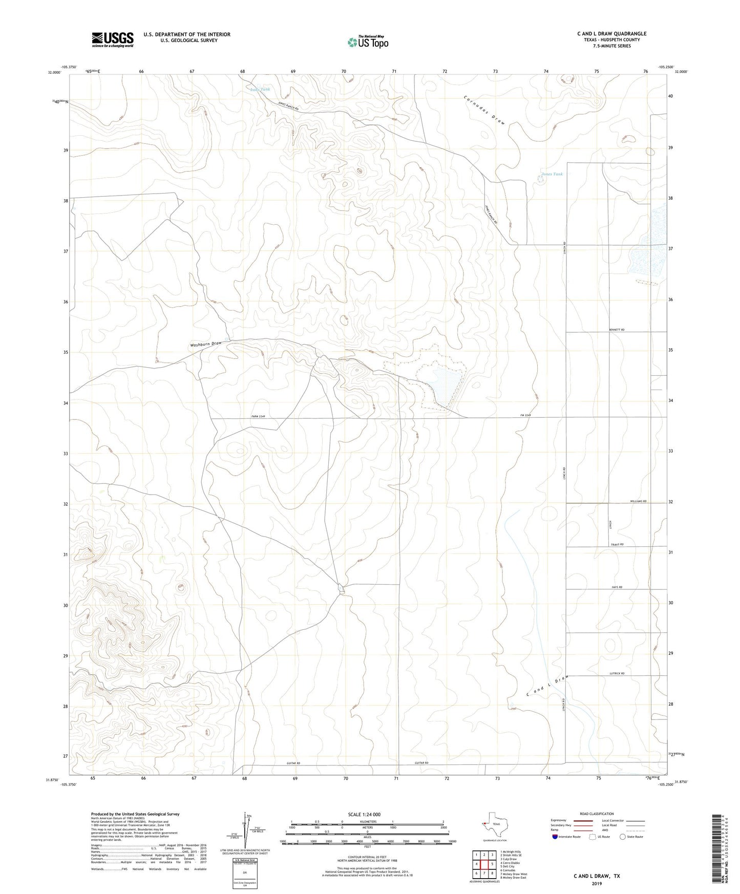
2019 topographic map quadrangle C And L Draw in the state of Texas. Scale: 1:24000. Based on the newly updated USGS 7.5' US Topo map series, this map is in the following counties: Hudspeth. The map contains contour data, water features, and other items you are used to seeing on USGS maps, but also has updated roads and other features. This is the next generation of topographic maps. Printed on high-quality waterproof paper with UV fade-resistant inks.
Quads adjacent to this one:
West: Cerro Diablo
Northwest: McVeigh Hills
North: Shiloh Hills SE
Northeast: Culp Draw
East: Dell City
Southeast: Mickey Draw East
South: Mickey Draw West
Southwest: Cornudas
Contains the following named places: C and L Draw, CLM Ranch Airport, Cornudas Draw, Jones Tank, Lake Tank, Washburn Draw