MyTopo
Culp Draw New Mexico US Topo Map
Couldn't load pickup availability
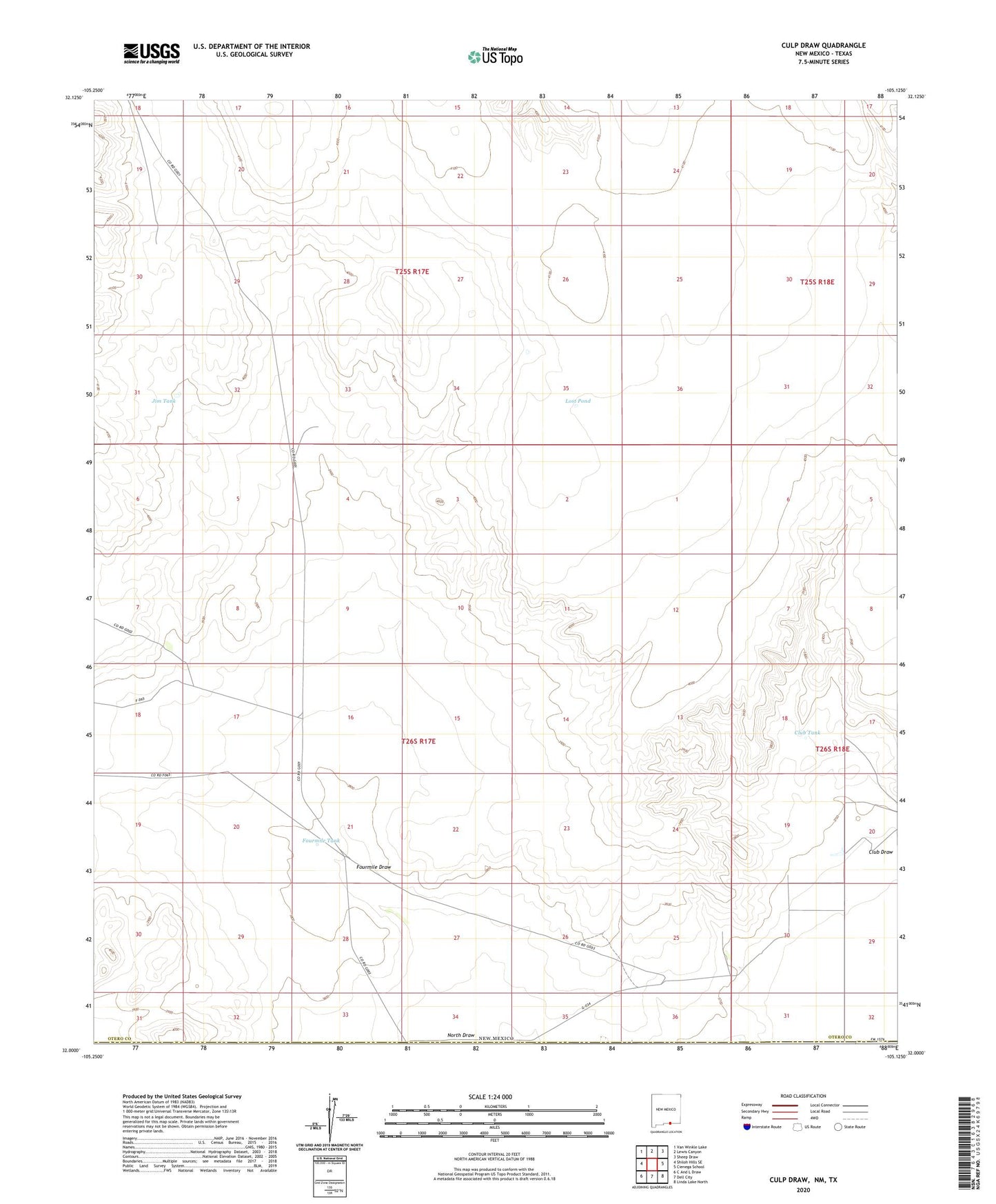
2023 topographic map quadrangle Culp Draw in the state of New Mexico. Scale: 1:24000. Based on the newly updated USGS 7.5' US Topo map series, this map is in the following counties: Otero, Hudspeth. The map contains contour data, water features, and other items you are used to seeing on USGS maps, but also has updated roads and other features. This is the next generation of topographic maps. Printed on high-quality waterproof paper with UV fade-resistant inks.
Quads adjacent to this one:
West: Shiloh Hills SE
Northwest: Van Winkle Lake
North: Lewis Canyon
Northeast: Sheep Draw
East: Cienega School
Southeast: Linda Lake North
South: Dell City
Southwest: C And L Draw
Contains the following named places: Club Draw, Club Tank, Fourmile Draw, Fourmile Tank, Jim Tank, Lost Pond, New Well, North Draw