
MyTopo
Caballos Creek Texas US Topo Map
Couldn't load pickup availability
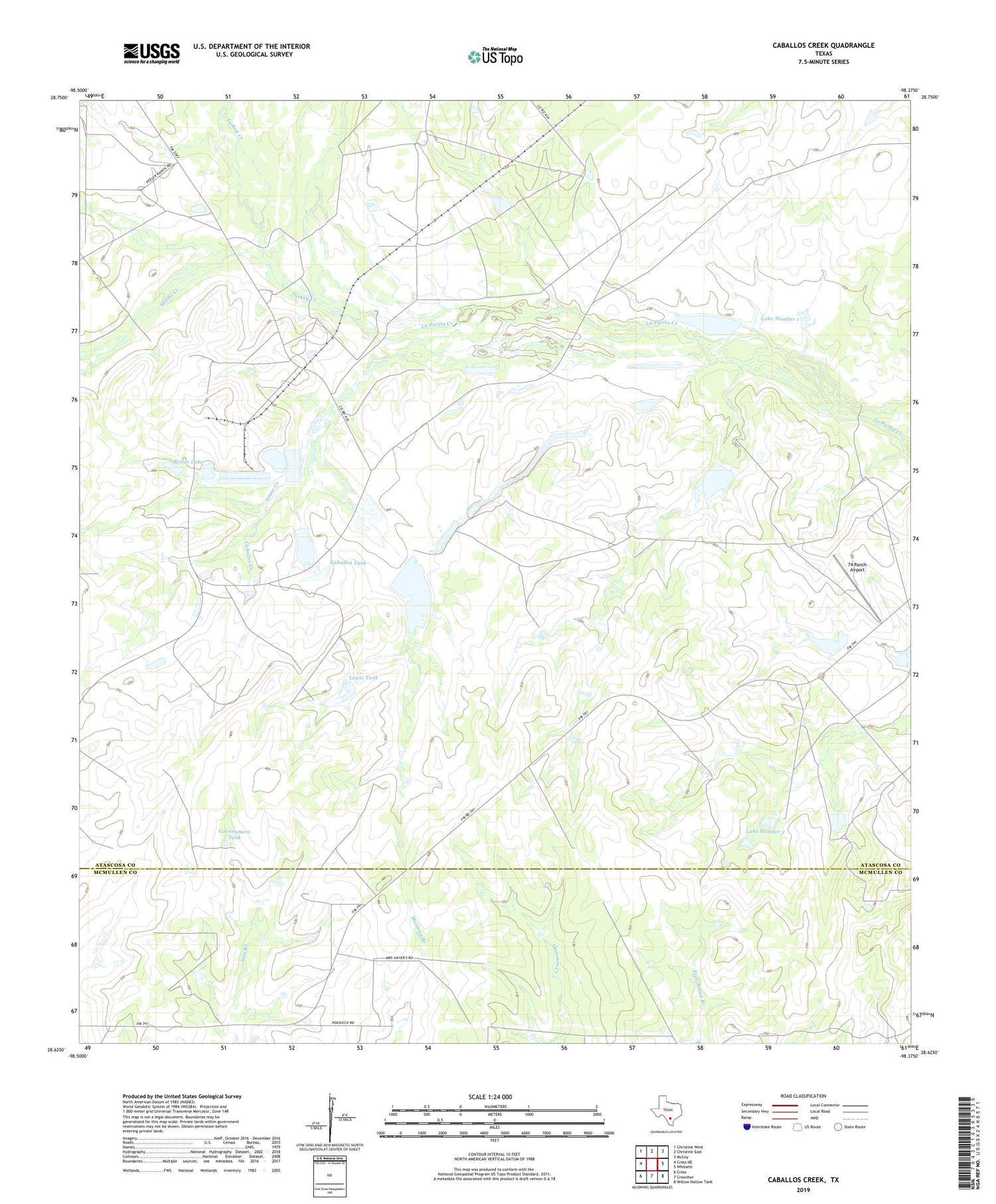
2019 topographic map quadrangle Caballos Creek in the state of Texas. Scale: 1:24000. Based on the newly updated USGS 7.5' US Topo map series, this map is in the following counties: Atascosa, McMullen. The map contains contour data, water features, and other items you are used to seeing on USGS maps, but also has updated roads and other features. This is the next generation of topographic maps. Printed on high-quality waterproof paper with UV fade-resistant inks.
Quads adjacent to this one:
West: Cross NE
Northwest: Christine West
North: Christine East
Northeast: McCoy
East: Whitsett
Southeast: Willow Hollow Tank
South: Crowther
Southwest: Cross
Contains the following named places: 74 Ranch Airport, 74 Ranch Dam Number 1, 74 Ranch Dam Number 2, 78075, Brown Ranch, Caballos Creek, Caballos Tank, Government Tank, Lake Number 1, Lake Number 2, Landa Memorial Branch Library, Lewis Tank, Macho Creek, McCreless Branch Library, Peeler Dam, Peeler Lake, Peeler Ranch, San Miguel Electric Cooperative, Souse Creek, Turkey Creek, Willow Tank


