MyTopo
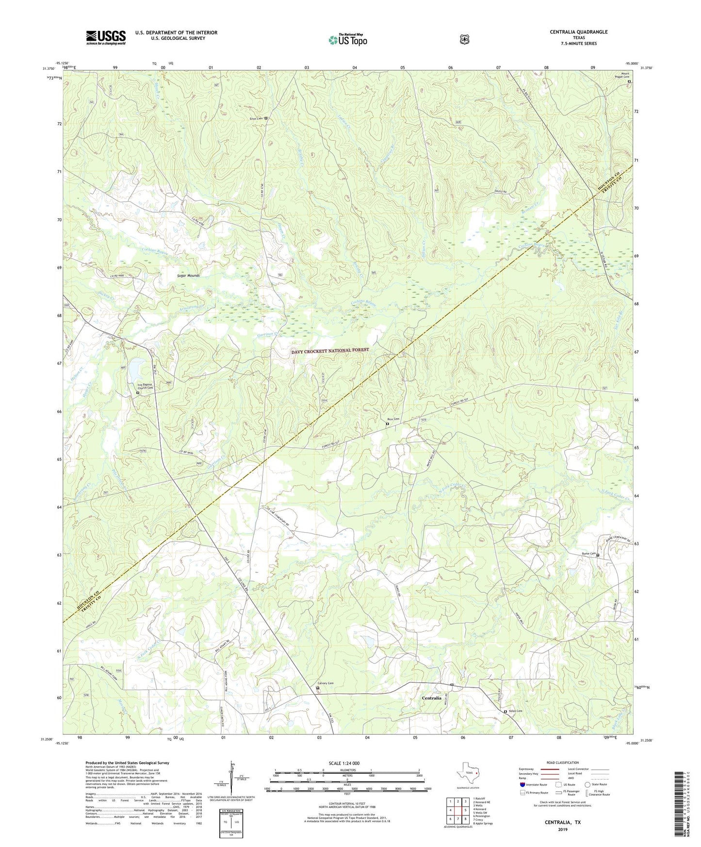
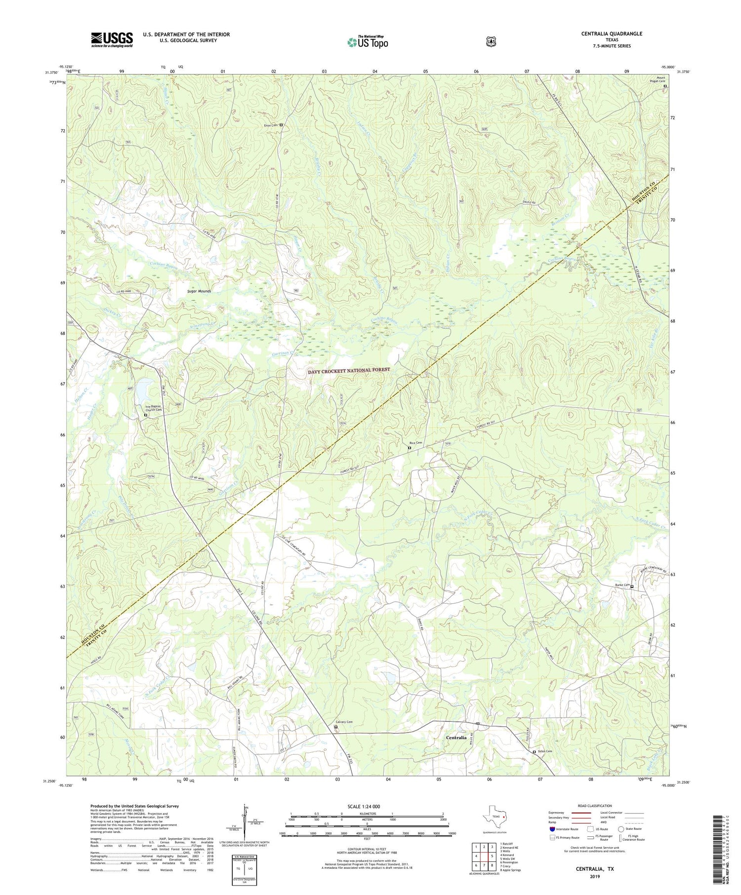
Centralia Texas US Topo Map
Couldn't load pickup availability
2019 topographic map quadrangle Centralia in the state of Texas. Scale: 1:24000. Based on the newly updated USGS 7.5' US Topo map series, this map is in the following counties: Trinity, Houston. The map contains contour data, water features, and other items you are used to seeing on USGS maps, but also has updated roads and other features. This is the next generation of topographic maps. Printed on high-quality waterproof paper with UV fade-resistant inks.
Quads adjacent to this one:
West: Kennard
Northwest: Ratcliff
North: Kennard NE
Northeast: Wells
East: Wells SW
Southeast: Apple Springs
South: Crecy
Southwest: Pennington
Contains the following named places: 4 - C National Recreation Hiking Trail, Armstrong Creek, Brown Lee Hill, Brushy Creek, Burke Cemetery, Calvary Cemetery, Center Point, Centralia, Centralia Post Office, Colbert Branch School, Copperas Branch, County Line Church, Davy Crockett National Forest, Dickey Creek, Enon Cemetery, Enon Church, Enon School, Garrison Creek, Hager Creek, Hagerville, Hagerville Baptist Church, Hagerville Post Office, Hagerville School, Helton Creek, Indian Creek, Ivie Baptist Church Cemetery, Lundy Post Office, Lundy School, Mount Pisgah Cemetery, Nogalus, Old Ivy Baptist Church, Pentecostal Church, Pile Driver Creek, Pisgah Cemetery, Rice Cemetery, Stubblefield, Stubblefield Baptist Church, Stubblefield School, Sugar Mounds, Tanyard Branch, Tar Kiln Branch, Tullos Cemetery, Woodman of the World Lodge