MyTopo
Kennard NE Texas US Topo Map
Couldn't load pickup availability
Also explore the Kennard NE Forest Service Topo of this same quad for updated USFS data
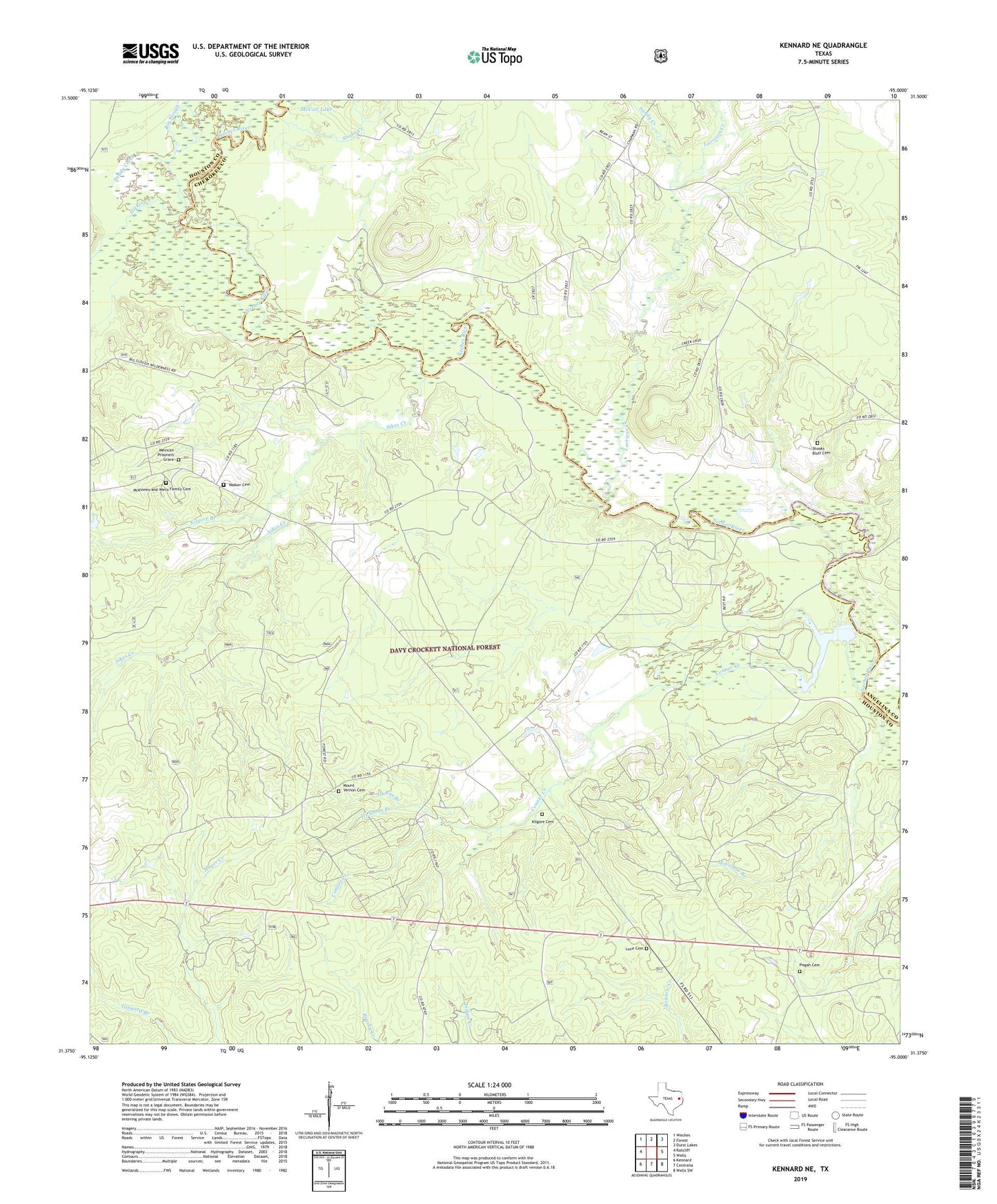
2022 topographic map quadrangle Kennard NE in the state of Texas. Scale: 1:24000. Based on the newly updated USGS 7.5' US Topo map series, this map is in the following counties: Houston, Cherokee, Angelina. The map contains contour data, water features, and other items you are used to seeing on USGS maps, but also has updated roads and other features. This is the next generation of topographic maps. Printed on high-quality waterproof paper with UV fade-resistant inks.
Quads adjacent to this one:
West: Ratcliff
Northwest: Weches
North: Forest
Northeast: Durst Lakes
East: Wells
Southeast: Wells SW
South: Centralia
Southwest: Kennard
This map covers the same area as the classic USGS quad with code o31095d1.
Contains the following named places: Bates Ferry, Big Slough, Big Slough Wilderness, Conner Creek, Conner Creek School, Druso Post Office, Ernest Anderson Crossing, Henry U Payne Cotton Gin, Hickman Branch, Hickory Creek, John T Collier Syrup and Grist Mill, Kilgore Branch, Kilgore Cemetery, Larrison Creek, Lee Anderson Toll Bridge, Luce Cemetery, Malibu Club, Malibu Club Dam, Malibu Club Lake, McCombe Branch, McKinleyville, McKinney and Wells Family Cemetery, Mexican Prisoners Grave, Mount Vernon, Mount Vernon Baptist Church, Mount Vernon Cemetery, Mouth of Hickory Creek Campground, Nebo School, Neff Train Stop, Old Brennon School, Old Tram Hiking Trail, Owens Branch, Plain, Plain Church, Plain Post Office, Plain School, Sandy Creek, Shingle Knife Shingle Mill, Shooks Bluff Cemetery, Shooks Bluff Stagecoach and Mail Route Crossing, Sikes Creek, Snake Creek, Sweet Union, Sweet Union Church, Thomas Jefferson Payne Home, Walker Cemetery, Wells Elementary School, Wells School