MyTopo
Channing Texas US Topo Map
Couldn't load pickup availability
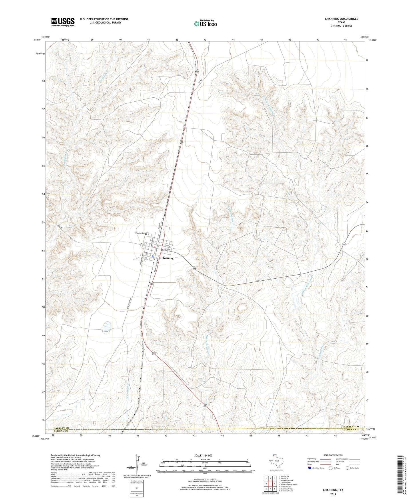
2022 topographic map quadrangle Channing in the state of Texas. Scale: 1:24000. Based on the newly updated USGS 7.5' US Topo map series, this map is in the following counties: Hartley, Oldham. The map contains contour data, water features, and other items you are used to seeing on USGS maps, but also has updated roads and other features. This is the next generation of topographic maps. Printed on high-quality waterproof paper with UV fade-resistant inks.
Quads adjacent to this one:
West: Channing NW
Northwest: Hartley SW
North: Hartley SE
Northeast: Bird Ranch Store
East: Bivins Channing Ranch
Southeast: Boys Ranch East
South: Boys Ranch West
Southwest: Torrey House
This map covers the same area as the classic USGS quad with code o35102f3.
Contains the following named places: Channing, Channing Cemetery, Channing City Hall, Channing Post Office, Channing Volunteer Fire Department and Emergency Service, City of Channing, Hartley County Sheriff's Office, West Fork East Cheyenne Creek, XIT General Office