
MyTopo
Chapman Draw Texas US Topo Map
Couldn't load pickup availability
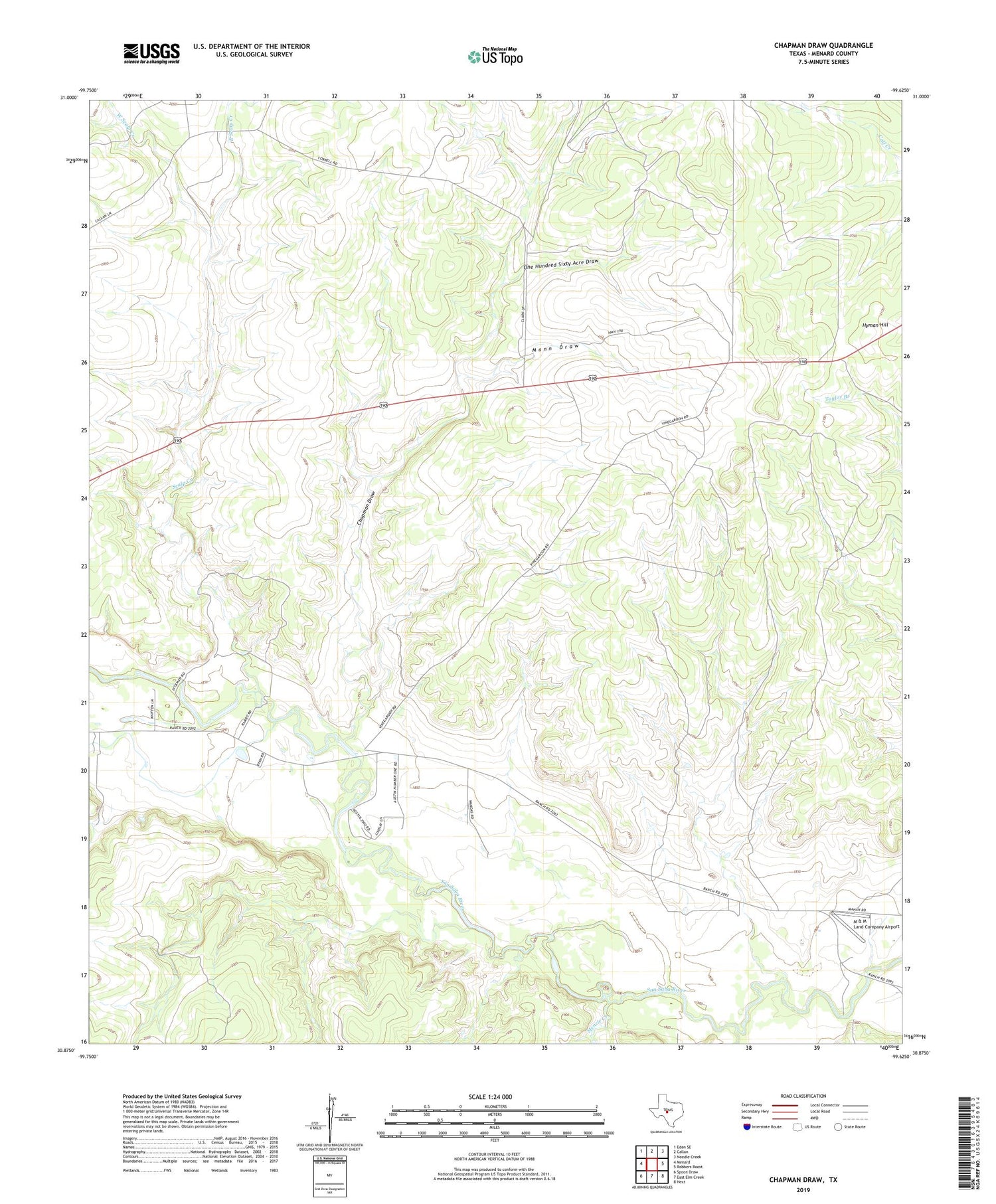
2019 topographic map quadrangle Chapman Draw in the state of Texas. Scale: 1:24000. Based on the newly updated USGS 7.5' US Topo map series, this map is in the following counties: Menard. The map contains contour data, water features, and other items you are used to seeing on USGS maps, but also has updated roads and other features. This is the next generation of topographic maps. Printed on high-quality waterproof paper with UV fade-resistant inks.
Quads adjacent to this one:
West: Menard
Northwest: Eden SE
North: Callan
Northeast: Needle Creek
East: Robbers Roost
Southeast: Hext
South: East Elm Creek
Southwest: Spoon Draw
Contains the following named places: Chapman Draw, East Scalp Creek, Elm Creek, Fivemile Crossing, Hyman Hill, M & M Land Company Airport, Mann Draw, Menard East Division, Menzie Creek, One Hundred Sixty Acre Draw, Scalp Creek, Tenmile Crossing, West Scalp Creek


