MyTopo
Spoon Draw Texas US Topo Map
Couldn't load pickup availability
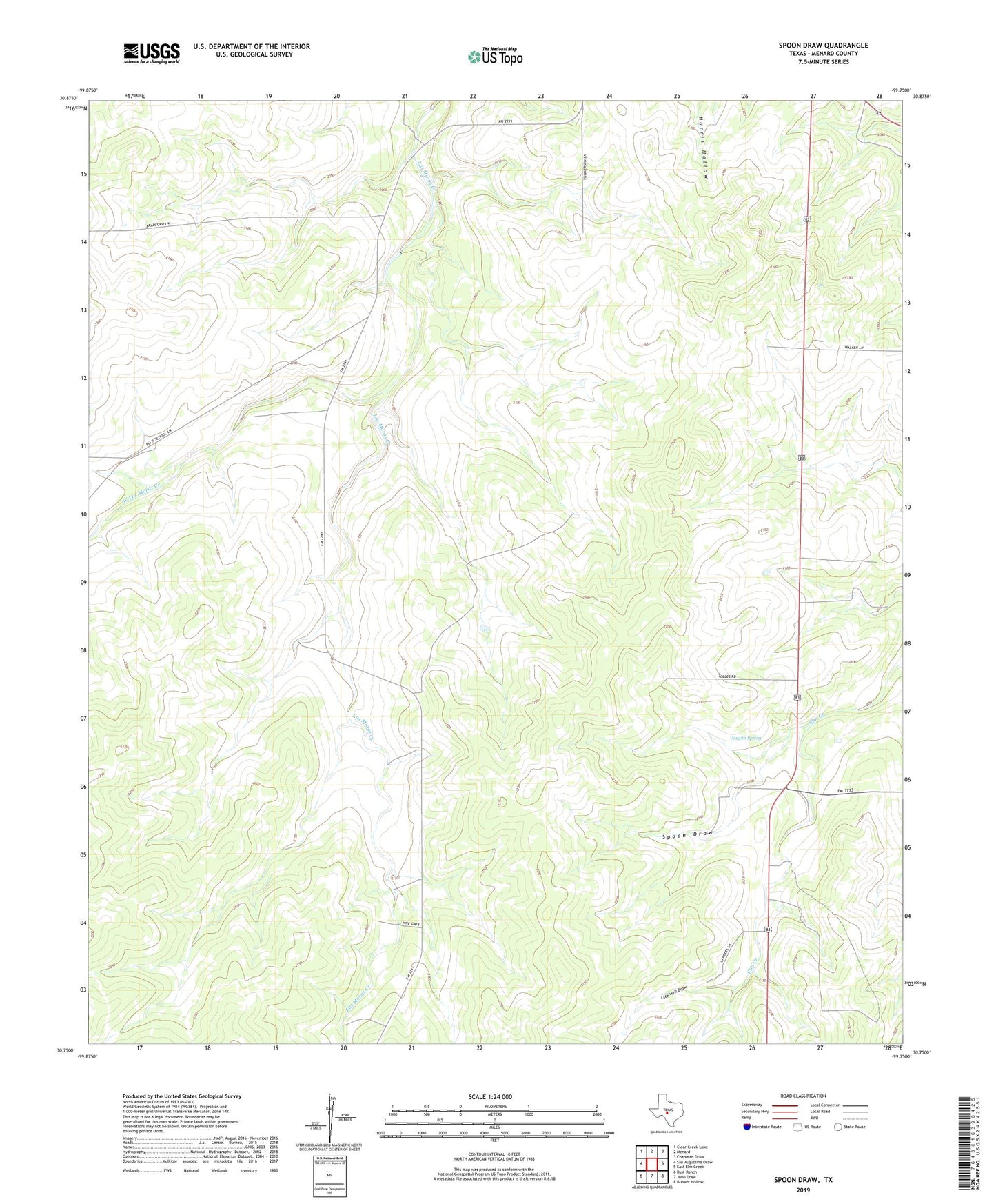
2022 topographic map quadrangle Spoon Draw in the state of Texas. Scale: 1:24000. Based on the newly updated USGS 7.5' US Topo map series, this map is in the following counties: Menard. The map contains contour data, water features, and other items you are used to seeing on USGS maps, but also has updated roads and other features. This is the next generation of topographic maps. Printed on high-quality waterproof paper with UV fade-resistant inks.
Quads adjacent to this one:
West: San Augustine Draw
Northwest: Clear Creek Lake
North: Menard
Northeast: Chapman Draw
East: East Elm Creek
Southeast: Brewer Hollow
South: Julio Draw
Southwest: Rust Ranch
This map covers the same area as the classic USGS quad with code o30099g7.
Contains the following named places: Cole Well Draw, Spoon Draw, Tenmile Well, Vaughn Spring, West Las Moras Creek