MyTopo
Eden SE Texas US Topo Map
Couldn't load pickup availability
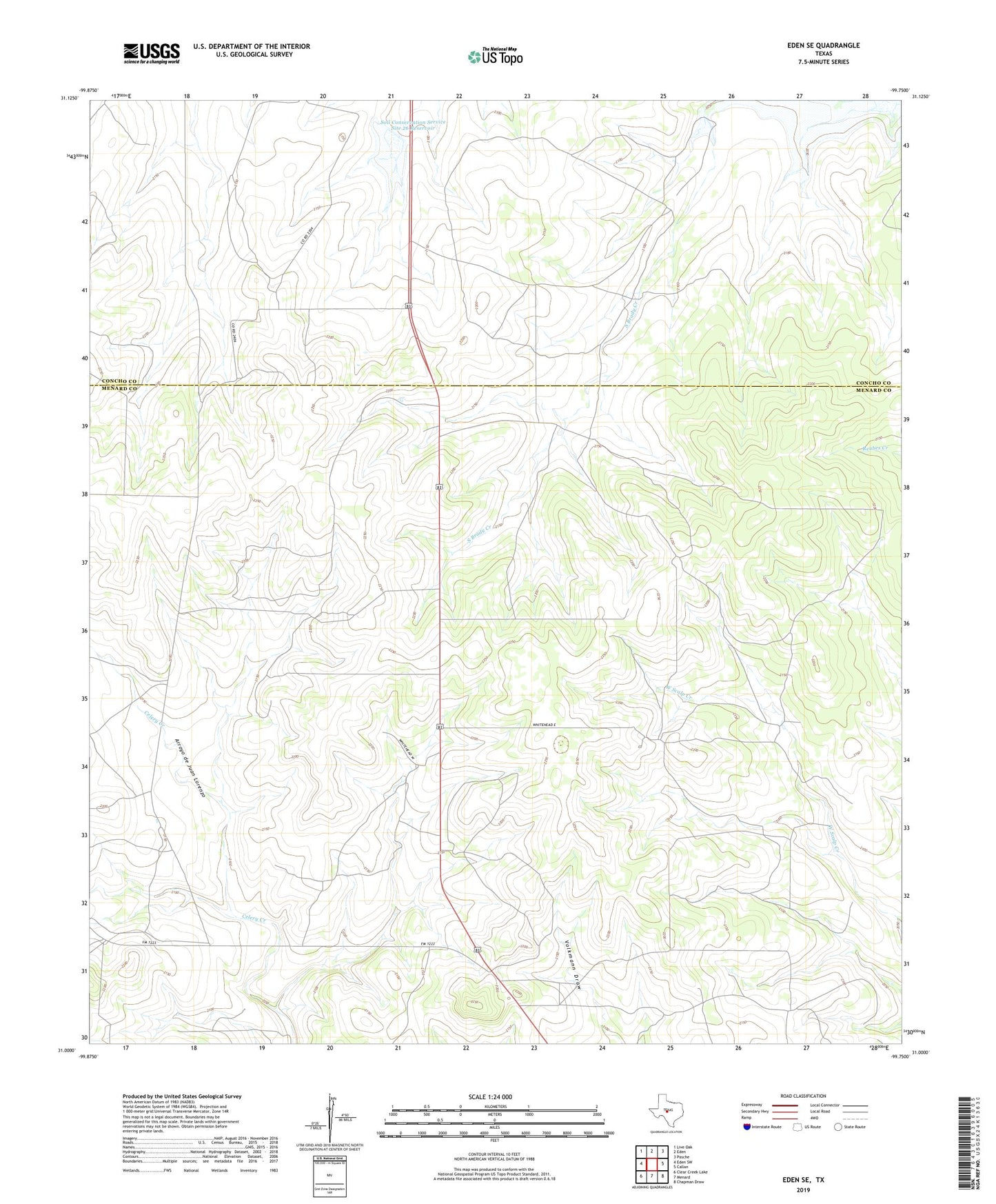
2022 topographic map quadrangle Eden SE in the state of Texas. Scale: 1:24000. Based on the newly updated USGS 7.5' US Topo map series, this map is in the following counties: Menard, Concho. The map contains contour data, water features, and other items you are used to seeing on USGS maps, but also has updated roads and other features. This is the next generation of topographic maps. Printed on high-quality waterproof paper with UV fade-resistant inks.
Quads adjacent to this one:
West: Eden SW
Northwest: Live Oak
North: Eden
Northeast: Pasche
East: Callan
Southeast: Chapman Draw
South: Menard
Southwest: Clear Creek Lake
This map covers the same area as the classic USGS quad with code o31099a7.
Contains the following named places: Plum Thicket Windmill, Soil Conservation Service Site 26 Dam, Soil Conservation Service Site 26 Reservoir, Whitehead Ranch