
MyTopo
Chapman Ranch Texas US Topo Map
Couldn't load pickup availability
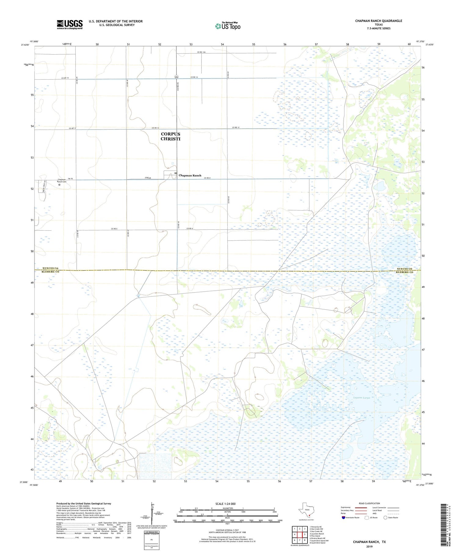
2019 topographic map quadrangle Chapman Ranch in the state of Texas. Scale: 1:24000. Based on the newly updated USGS 7.5' US Topo map series, this map is in the following counties: Nueces, Kleberg. The map contains contour data, water features, and other items you are used to seeing on USGS maps, but also has updated roads and other features. This is the next generation of topographic maps. Printed on high-quality waterproof paper with UV fade-resistant inks.
Quads adjacent to this one:
West: Laureles Ranch
Northwest: Petronila NE
North: Oso Creek NW
Northeast: Oso Creek NE
East: Pita Island
Southeast: South Bird Island
South: South Bird Island NW
Southwest: Riviera Beach NE
Contains the following named places: Aguila Windmill, Alta Vista Windmill, Chapman Ranch, Chapman Ranch Cemetery, Chapman Ranch Post Office, Coyotes Windmill, Doches Windmill, Field Twelve Windmill, Garcias Windmill, Laguna Larga, Las Maranas Windmill, Noria de Tomas Windmill, Noria del Bordo Windmill, Portales Windmill, Santa Cruz Windmill, Tlacuache Windmill


